Western Ghats Eco-Sensitive Area: MoEFCC Issues 7th Draft Notification
#GS-1 #Geography #Physical Geography #GS-3 #Environment #Biodiversity #Conservation #Current Events #National #Western Ghats #Eco-Sensitive Area #MoEFCC
Key takeaways
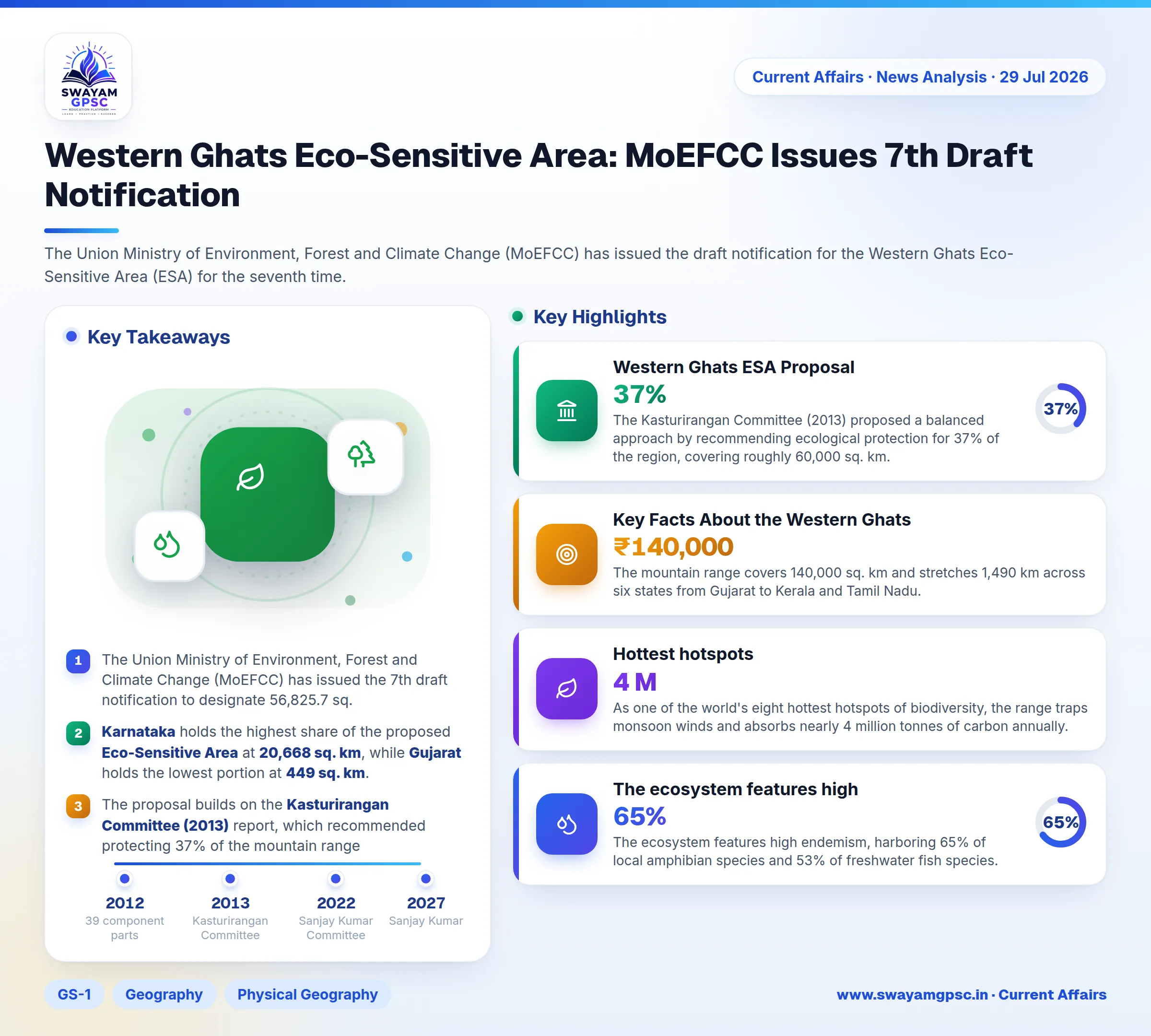
- The Union Ministry of Environment, Forest and Climate Change (MoEFCC) has issued the 7th draft notification to designate 56,825.7 sq. km of the Western Ghats across six states as an Eco-Sensitive Area (ESA).
- Karnataka holds the highest share of the proposed Eco-Sensitive Area at 20,668 sq. km, while Gujarat holds the lowest portion at 449 sq. km.
- The proposal builds on the Kasturirangan Committee (2013) report, which recommended protecting 37% of the mountain range, softening the stricter Gadgil Committee (2011) recommendations.
- The Sanjay Kumar Committee formed in 2022 has received an extension until July 2027 to resolve state-level boundary mapping disputes.
Why in News
- The Union Ministry of Environment, Forest and Climate Change (MoEFCC) has issued the draft notification for the Western Ghats Eco-Sensitive Area (ESA) for the seventh time.
- The government reissued this draft because the previous notification expired without being officially finalized into law.
- The draft remains open for public feedback for 60 days while six states continue negotiations with the Centre over village boundaries.
Key Highlights of the 7th Draft Notification
- The proposed area spans 56,825.7 sq. km across six states, with Karnataka holding the largest share at 20,668 sq. km and Gujarat holding the smallest at 449 sq. km.
- The draft enforces a complete ban on commercial mining, stone quarrying, sand extraction, new thermal power plants, polluting red category industries, and major construction projects.
- Hydroelectric power projects will face strict regulation, while agriculture, plantations, and local community livelihoods remain fully exempt.
- The notification allows the Centre to implement the Eco-Sensitive Area in phases for individual states without waiting for total consensus.
- An expert panel led by Sanjay Kumar received a tenure extension until July 2027 to resolve state objections and mapping discrepancies.
Western Ghats ESA Proposal
- The initiative to declare the mountain range an Eco-Sensitive Area has remained pending since August 2011.
- The Madhav Gadgil Committee (2011) recommended designating the entire Western Ghats as an Eco-Sensitive Area under three strict protection zones, but states rejected it as overly restrictive.
- The Kasturirangan Committee (2013) proposed a balanced approach by recommending ecological protection for 37% of the region, covering roughly 60,000 sq. km.
Challenges in Notifying the Western Ghats ESA
- Disagreements between central and state authorities over balancing environmental conservation with regional development have caused long delays.
- Disputes regarding boundary mapping, village limits, and satellite demarcation continue to create operational uncertainty.
- States face heavy economic losses from conservation restrictions without receiving financial compensation or ecological fiscal transfers.
- Repeated delays in finalizing notifications create a regulatory vacuum that permits illegal mining, quarrying, and deforestation to persist.
Key Facts About the Western Ghats
- The mountain range covers 140,000 sq. km and stretches 1,490 km across six states from Gujarat to Kerala and Tamil Nadu.
- Geological records show these mountains are older than the Himalayas, originating from the breakup of the Gondwana supercontinent.
- The continuous range splits into three geographical divisions through the Palghat Gap, Goa Gap, and Sencottah Gap.
- In 2012, UNESCO designated 39 component parts across seven sub-clusters in the region as a natural World Heritage Site.
- The Northern Western Ghats feature basaltic lava plateaus and major peaks like Kalsubai, the highest point in Maharashtra.
- The Central Western Ghats in Karnataka feature dense evergreen forests and give rise to major rivers like the Sharavathi and Netravati.
- The Southern Western Ghats contain Anamudi, which stands at 2,695 meters as the highest peak in Peninsular India.
- Popular hill stations located across the range include Matheran, Mahabaleshwar, Lonavala, and Coorg.
- Short and swift west-flowing rivers like the Periyar flow into the Arabian Sea, offering high hydroelectric potential.
- Longer east-flowing rivers such as the Godavari, Krishna, and Kaveri drain into the Bay of Bengal to supply crucial irrigation water.
- As one of the world's eight hottest hotspots of biodiversity, the range traps monsoon winds and absorbs nearly 4 million tonnes of carbon annually.
- The ecosystem features high endemism, harboring 65% of local amphibian species and 53% of freshwater fish species.
- Over 325 globally threatened species live here, including flagship animals like the Asian Elephant, Lion-tailed Macaque, and Nilgiri Tahr.
- The IUCN World Heritage Outlook rates the conservation status of the range as a matter of significant concern due to habitat fragmentation and mining.