Severe Cyclonic Storm Murasu: Naming, Warnings, and Impacts
#GS-1 #Geography #Disaster Geography #GS-3 #Environment #Disaster Management #Disaster Preparedness #Cyclone Murasu #IMD Warning System
Key takeaways
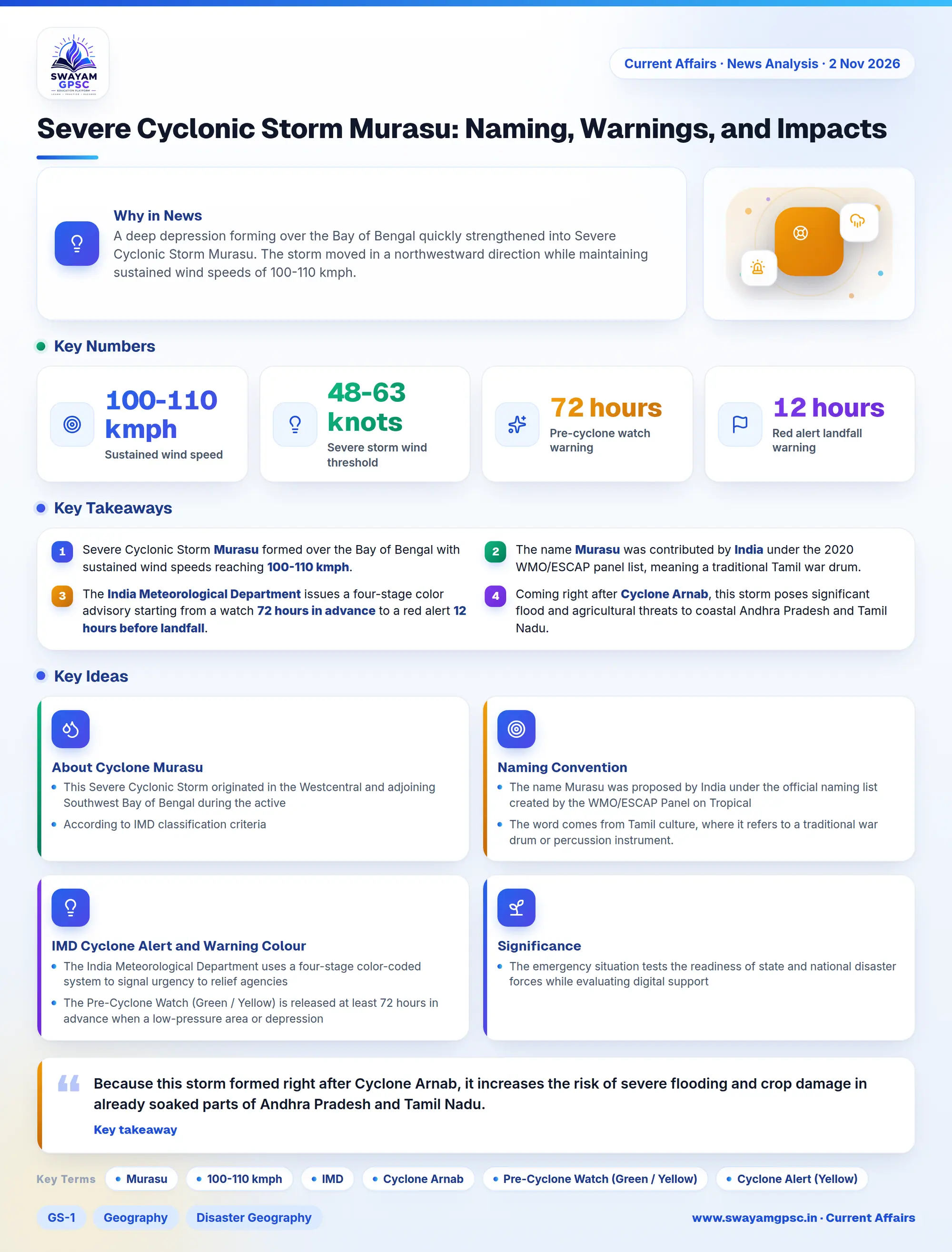
- Severe Cyclonic Storm Murasu formed over the Bay of Bengal with sustained wind speeds reaching 100-110 kmph.
- The name Murasu was contributed by India under the 2020 WMO/ESCAP panel list, meaning a traditional Tamil war drum.
- The India Meteorological Department issues a four-stage color advisory starting from a watch 72 hours in advance to a red alert 12 hours before landfall.
- Coming right after Cyclone Arnab, this storm poses significant flood and agricultural threats to coastal Andhra Pradesh and Tamil Nadu.
Why in News
- A deep depression forming over the Bay of Bengal quickly strengthened into Severe Cyclonic Storm Murasu.
- The storm moved in a northwestward direction while maintaining sustained wind speeds of 100-110 kmph.
About Cyclone Murasu
- This Severe Cyclonic Storm originated in the Westcentral and adjoining Southwest Bay of Bengal during the active Northeast Monsoon period.
- According to IMD classification criteria, a severe cyclonic storm exhibits sustained surface wind speeds ranging from 48 to 63 knots or 89 to 117 kmph.
- These storms bring strong gale winds, dangerous ocean storm surges, and extremely heavy rainfall to coastal zones.
Naming Convention
- The name Murasu was proposed by India under the official naming list created by the WMO/ESCAP Panel on Tropical Cyclones (PTC) in 2020.
- The word comes from Tamil culture, where it refers to a traditional war drum or percussion instrument.
- This storm followed Cyclone Arnab, which was named by Bangladesh, and the next name on the panel's rotational list will be Akvan, submitted by Iran.
IMD Cyclone Alert and Warning Colour Codes
- The India Meteorological Department uses a four-stage color-coded system to signal urgency to relief agencies during approaching storms.
- The Pre-Cyclone Watch (Green / Yellow) is released at least 72 hours in advance when a low-pressure area or depression forms to start tracking potential coastal impacts.
- The Cyclone Alert (Yellow) comes out at least 48 hours prior to bad weather, telling officials and citizens to stay updated as the storm path clarifies.
- The Cyclone Warning (Orange) goes out at least 24 hours in advance, asking everyone to prepare for evacuation as landfall location and wind estimates get finalized.
- The Post-Landfall Outlook / Landfall Alert (Red) is issued 12 hours before landfall, ordering immediate action, emergency sheltering, and total stoppage of transport services.
Significance
- Because this storm formed right after Cyclone Arnab, it increases the risk of severe flooding and crop damage in already soaked parts of Andhra Pradesh and Tamil Nadu.
- The emergency situation tests the readiness of state and national disaster forces while evaluating digital support channels and power restoration teams.