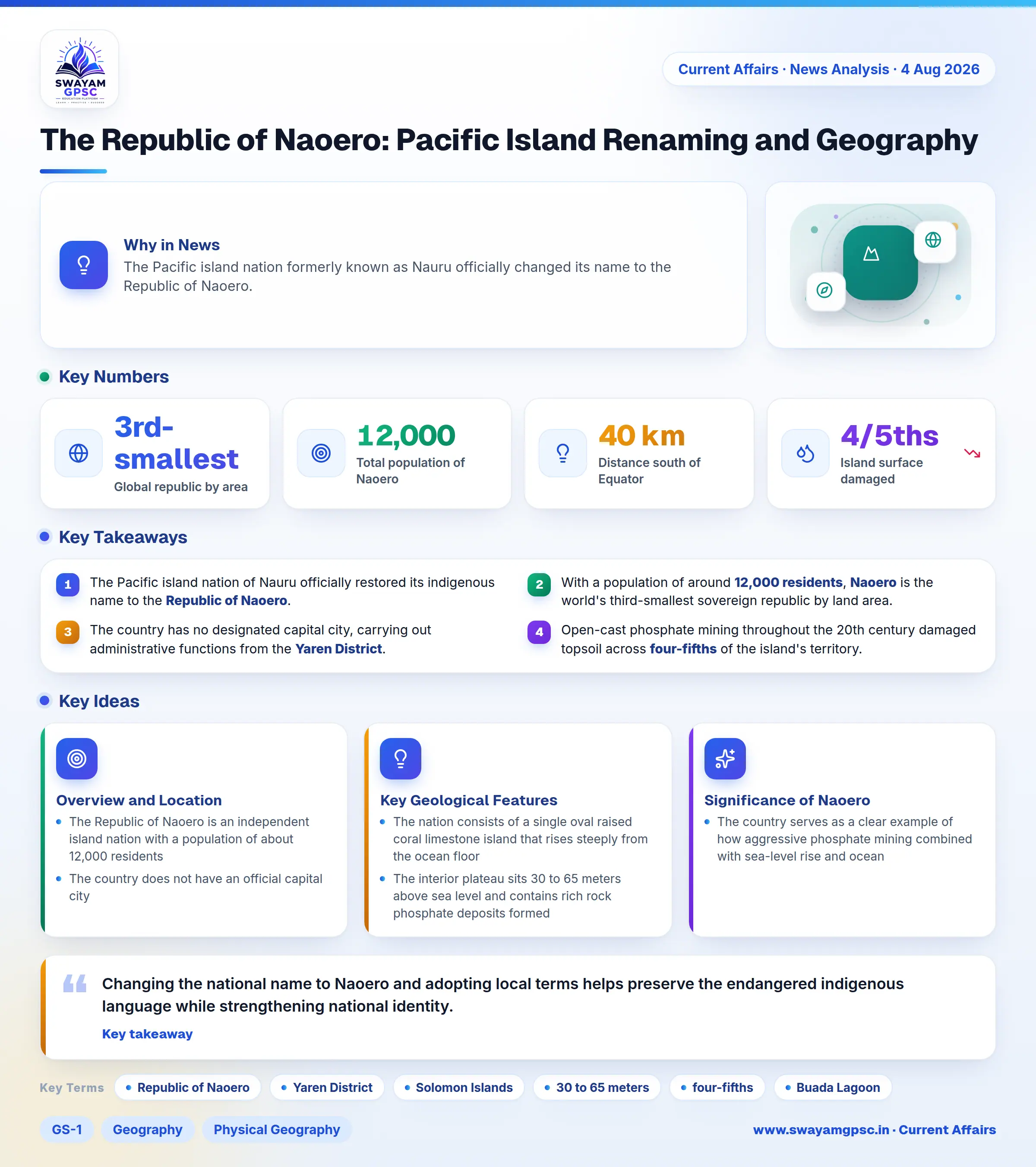
The Republic of Naoero: Pacific Island Renaming and Geography
#GS-1 #Geography #Physical Geography #Resources #GS-3 #Current Events #International #Mapping
Key takeaways
- The Pacific island nation of Nauru officially restored its indigenous name to the Republic of Naoero.
- With a population of around 12,000 residents, Naoero is the world's third-smallest sovereign republic by land area.
- The country has no designated capital city, carrying out administrative functions from the Yaren District.
- Open-cast phosphate mining throughout the 20th century damaged topsoil across four-fifths of the island's territory.
Why in News
- The Pacific island nation formerly known as Nauru officially changed its name to the Republic of Naoero.
Overview and Location
- The Republic of Naoero is an independent island nation with a population of about 12,000 residents, making it the world's third-smallest sovereign republic by land area after Vatican City and Monaco.
- The country does not have an official capital city, but its government administrative offices are located in the Yaren District.
- It is situated in the southwestern Pacific Ocean within southeastern Micronesia, lying roughly 40 km south of the Equator and 1,300 km northeast of the Solomon Islands.
Key Geological Features
- The nation consists of a single oval raised coral limestone island that rises steeply from the ocean floor, completely lacking natural harbors or sheltered bays.
- The interior plateau sits 30 to 65 meters above sea level and contains rich rock phosphate deposits formed over centuries from accumulated guano or bird droppings.
- Widespread open-cast phosphate mining throughout the 20th century stripped topsoil across four-fifths of the island, leaving behind a barren landscape filled with tall limestone spires.
- A narrow coastal strip rings the island and surrounds Buada Lagoon, a shallow brackish water body where local farming of coconut, banana, and pandanus takes place.
- The island has no natural rivers or surface streams, and its porous soil forces residents to rely on harvested rainwater systems and imported freshwater.
Significance of Naoero
- Changing the national name to Naoero and adopting local terms helps preserve the endangered indigenous language while strengthening national identity.
- The country serves as a clear example of how aggressive phosphate mining combined with sea-level rise and ocean warming threatens small island nations.