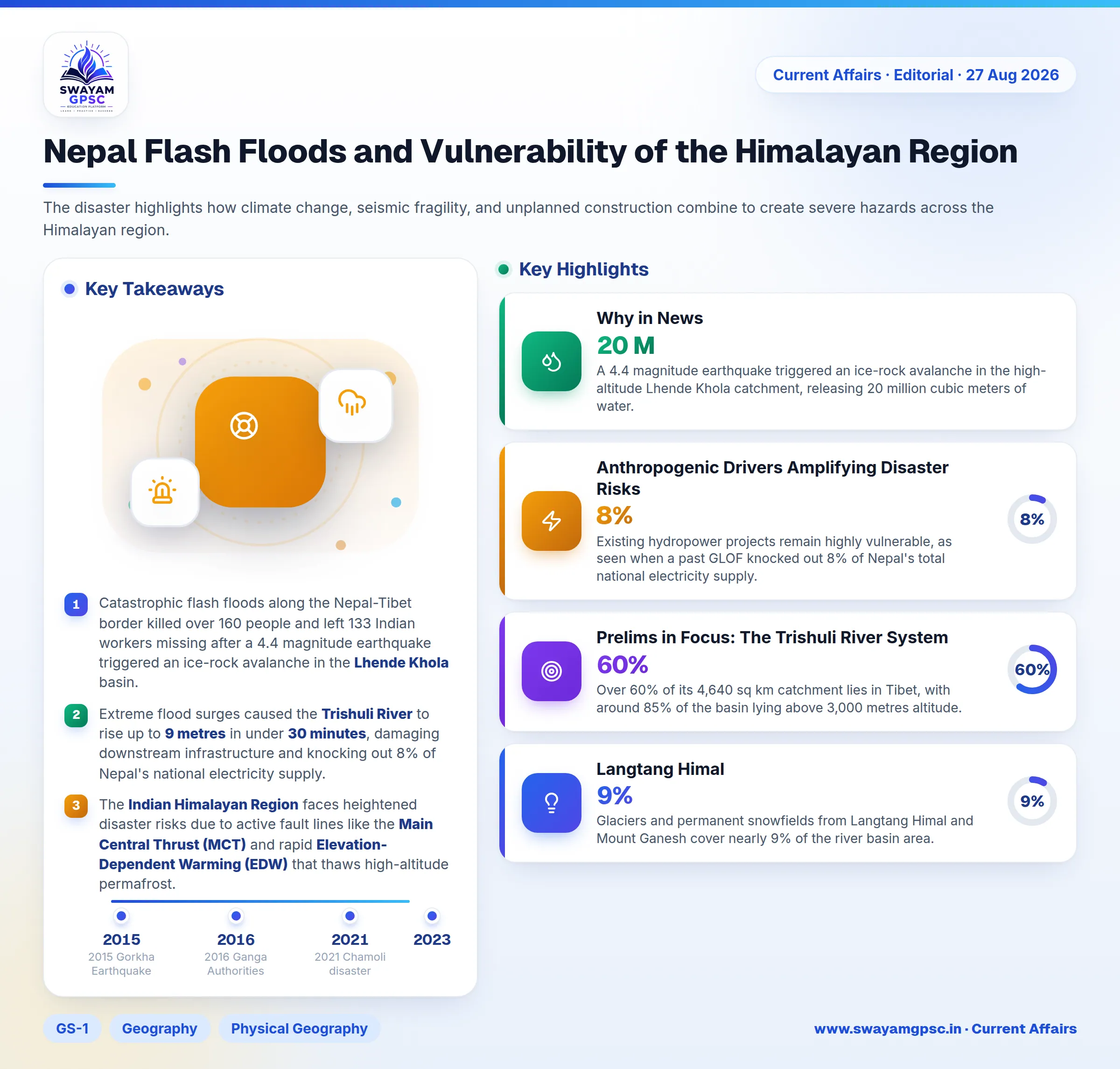
Nepal Flash Floods and Vulnerability of the Himalayan Region
#GS-1 #Geography #Physical Geography #GS-3 #Disaster Management #Disaster Preparedness #Disaster Response #Environment #Climate Change #GS-2 #Current Events #International #Nepal Flash Floods #Himalayan Vulnerability
Key takeaways
- Catastrophic flash floods along the Nepal-Tibet border killed over 160 people and left 133 Indian workers missing after a 4.4 magnitude earthquake triggered an ice-rock avalanche in the Lhende Khola basin.
- Extreme flood surges caused the Trishuli River to rise up to 9 metres in under 30 minutes, damaging downstream infrastructure and knocking out 8% of Nepal's national electricity supply.
- The Indian Himalayan Region faces heightened disaster risks due to active fault lines like the Main Central Thrust (MCT) and rapid Elevation-Dependent Warming (EDW) that thaws high-altitude permafrost.
- Historical panels like the Mishra Committee (1976) and J.C. Pant Committee (1999) advocated restricting construction in landslide-prone zones and integrating disaster management into national planning.
- Regional resilience requires mandating Strategic Environmental Assessments (SEAs), deploying InSAR early warning systems, and establishing real-time hydrological data sharing among China, Nepal, and India.
Why in News
- Catastrophic flash floods in Nepal killed over 160 people and left more than 133 Indian workers and pilgrims missing.
- A 4.4 magnitude earthquake triggered an ice-rock avalanche in the high-altitude Lhende Khola catchment, releasing 20 million cubic meters of water.
- The flood surge passed through transboundary river systems including Bhote Koshi, Trishuli, and Narayani, destroying roads and bridges near Gyirong Port.
- Downstream, these rivers flow directly into the Indian states of Bihar and Uttar Pradesh as the Gandak River, creating major transboundary flood risks.
- The disaster highlights how climate change, seismic fragility, and unplanned construction combine to create severe hazards across the Himalayan region.
Geological and Climatic Drivers of Himalayan Vulnerability
- The Himalayas are young fold mountains that uplift continuously along active thrust faults like the Main Central Thrust (MCT) and Main Boundary Thrust (MBT).
- High seismic risk defines the region, with most of the Indian Himalayan Region falling into high-risk earthquake zones.
- Unreleased energy builds up in historical seismic gaps. This stored energy destabilizes fractured rock faces and causes widespread mass wasting.
- The 2015 Gorkha Earthquake in Nepal demonstrated this fragility by triggering thousands of secondary landslides across high-altitude slopes.
- Rising temperatures cause Elevation-Dependent Warming (EDW), which thaws high-altitude permafrost and weakens the natural ice mortar holding rocks together.
- Expanding moraine-dammed glacial lakes increase the risk of Glacial Lake Outburst Floods (GLOFs) and sudden ice collapse.
- For example, permafrost thaw caused the 2021 Chamoli disaster in Uttarakhand, while a breached moraine dam triggered the 2023 South Lhonak Lake disaster in Sikkim.
- Shifting monsoon patterns lead to intense localized cloudbursts. When paired with steep river gradients, these rainstorms generate destructive debris torrents like the 2013 Kedarnath disaster.
Anthropogenic Drivers Amplifying Disaster Risks
- Unscientific infrastructure projects cut vertically into mountain toes without building proper retaining walls, causing severe slope instability.
- Rapid concrete urbanization for mass tourism places heavy loads on unconsolidated debris terraces and active river floodplains.
- For example, unscientific hill-cutting along the Char Dham Pariyojana highway created severe landslide zones, leading the Supreme Court-appointed High Powered Committee (HPC) to raise ecological warnings.
- Underground tunneling and blasting for hydro projects puncture deep aquifers. This action drains water tables and causes severe ground sinking, as seen during the Joshimath crisis.
- Project developers frequently dump excavated debris directly into riverbeds. High floodwaters turn this dumped muck into dense debris flows, destroying downstream dams like Teesta-III.
- Existing hydropower projects remain highly vulnerable, as seen when a past GLOF knocked out 8% of Nepal's total national electricity supply.
Governance and Regulatory Failures
- Diluted Environmental Impact Assessment (EIA) rules allow individual infrastructure projects to get clearance without studying cumulative ecological damage across river basins.
- Project-by-project reviews fail to evaluate total environmental impacts, while comprehensive Strategic Environmental Assessments (SEAs) remain rare across fragile mountain basins.
- Weak enforcement allows illegal multi-story hotels and commercial markets to encroach on active river terraces and designated No-Development Zones.
- State authorities routinely ignore zoning rules like the 2016 Ganga Authorities Order, increasing hazard exposure for riverbank communities.
- Legal protections continue to weaken due to relaxations in the Bhagirathi Eco-Sensitive Zone and exemptions under the Forest Conservation (Amendment) Act 2023.
Key Committee Recommendations for Disaster Management
- The Mishra Committee (1976) investigated the sinking of Joshimath and recommended halting heavy construction in unstable, landslide-prone zones.
- The committee also advised against indiscriminate tree cutting and boulder excavation along fragile mountain slopes and roadsides.
- The J.C. Pant Committee (1999) categorized 31 disasters into five main groups and recommended adding disaster management to the Seventh Schedule of the Constitution.
- It urged governments to enact specialized disaster laws, strictly enforce local building codes, and create dedicated institutional mechanisms for disaster coordination.
- The Pant panel called for specialized training institutions, strengthened disaster financing, and standardized risk-assessment procedures to build a culture of preparedness.
Implications for India and Downstream Regions
- Extreme water surges occur rapidly during these events. Hydrological stations recorded the Trishuli River rising by 9 metres at Galchchi and 7 metres at Malekhu in under 30 minutes.
- Transboundary rivers like the Bhote Koshi merge into the Gandak River, threatening severe inundation across northern Bihar and eastern Uttar Pradesh.
- Thousands of Indian technicians and laborers working on trans-Himalayan infrastructure remain highly exposed to sudden mountain disasters.
- Damaged run-of-the-river hydropower plants disrupt bilateral power trade agreements and interrupt seasonal electricity flow to the Indian power grid.
- In response to the crisis, India promptly deployed Humanitarian Assistance and Disaster Relief (HADR) teams and essential supplies across the border.
Way Forward
- Governments must mandate comprehensive Strategic Environmental Assessments (SEAs) and enforce ecological carrying-capacity limits before starting major projects.
- Authorities must strictly enforce River Regulation Zones (RRZ) to stop permanent construction inside active river floodplains.
- Implementing the NITI Aayog endorsed Eight-Step Springshed Management Methodology can protect spring recharge areas using hydrogeological mapping.
- Mountain slopes require bio-engineering techniques, such as deep-rooting Vetiver grass, geo-textiles, and contoured vegetative terraces instead of rigid concrete walls.
- Upgrading Multi-Hazard Early Warning Systems (MHEWS) using InSAR radar technology, satellite telemetry, and Doppler radars can give downstream towns critical advance warning.
- India, Nepal, and China should establish a formal trilateral data-sharing agreement to share real-time hydrological data regarding lake formation and extreme rainfall.
- Infrastructure development in fragile regions must align with the Sendai Framework 2015-2030 to build climate-resilient mountain communities.
Conclusion
- Frequent disasters in the Himalayas reveal a clear mismatch between fragile mountain geology and aggressive infrastructure development.
- Sustainable development does not mean stopping all construction. Instead, projects must align with the hydrological, cryospheric, and ecological carrying capacity of the Himalayas.
Prelims in Focus: The Trishuli River System
- The Trishuli River is a major snow-fed tributary of the Gandaki (Narayani) River Basin in central Nepal.
- Named after the trident of Lord Shiva, the river originates in the Pekhu Kangri range of Gyirong County in southern Tibet.
- It forms at the confluence of the Kyirong Tsangpo and Lende Khola rivers near Rasuwa Gadhi on the Nepal-China border.
- Over 60% of its 4,640 sq km catchment lies in Tibet, with around 85% of the basin lying above 3,000 metres altitude.
- Glaciers and permanent snowfields from Langtang Himal and Mount Ganesh cover nearly 9% of the river basin area.
- Major tributaries joining the main stem include the Langtang Khola, Trisuli Khola, Tadi Khola, and Likhu Khola.