The Mahanadi River: Geography, Key Features, and Deepwater Exploration
#GS-1 #Geography #Physical Geography #Resources #GS-3 #Economy #Energy #Current Events #National #Mapping
Why in News
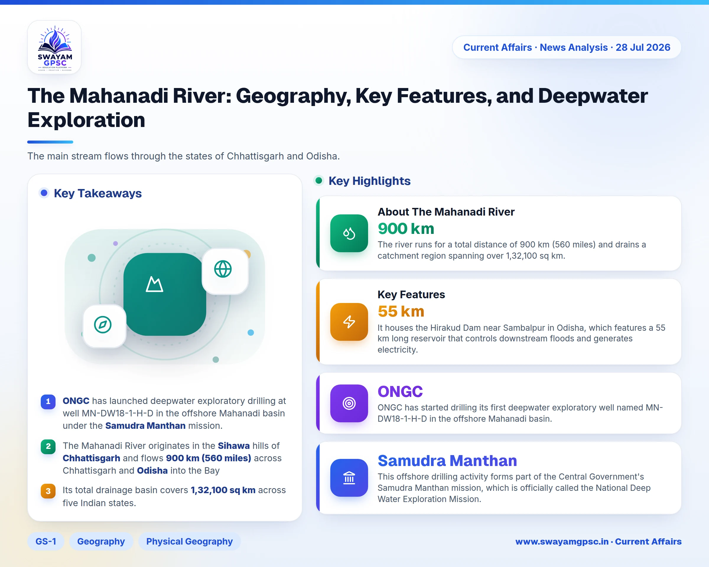
- **ONGC** has started drilling its first deepwater exploratory well named **MN-DW18-1-H-D** in the offshore **Mahanadi** basin.
- This offshore drilling activity forms part of the Central Government's **Samudra Manthan** mission, which is officially called the **National Deep Water Exploration Mission**.
About The Mahanadi River
- The name Mahanadi translates to Great River in Sanskrit, and it serves as a key peninsular river system in east-central India.
- The river runs for a total distance of **900 km (560 miles)** and drains a catchment region spanning over **1,32,100 sq km**.
- It is widely recognized for its heavy silt deposits and its vast delta network along the **Bay of Bengal**.
Origin and Course
- The river originates in the **Sihawa** hill range located in the **Dhamtari** district of **Chhattisgarh**.
- It flows north through the **Chhattisgarh** plain, turns east into **Odisha**, cuts across the **Eastern Ghats** via a dense gorge, and enters the **Bay of Bengal** at **False Point** near **Paradip**.
- The main stream flows through the states of **Chhattisgarh** and **Odisha**.
- Its catchment basin also spreads across smaller areas of **Madhya Pradesh**, **Jharkhand**, and **Maharashtra**.
Key Features
- The river receives water from tributaries like the **Seonath (Shivnath)**, **Hasdeo**, **Mand**, and **Ib** on its left bank, and the **Jonk**, **Ong**, and **Tel** on its right bank.
- It houses the **Hirakud Dam** near **Sambalpur** in **Odisha**, which features a **55 km** long reservoir that controls downstream floods and generates electricity.
- Near **Cuttack**, it divides into major distributaries like the **Kathjodi** and **Birupa** to form a fertile coastal delta filled with farmland and mangroves.
- Centuries of river discharge have formed deep sedimentary deposits in the offshore **Mahanadi Basin**, turning it into a major zone for oil and natural gas exploration.
Significance of the Exploratory Well
- The **MN-DW18-1-H-D** well advances the **Samudra Manthan** mission by exploring ultra-deepwater energy reserves awarded under the **Open Acreage Licensing Policy (OALP)**.
- Finding oil and gas in the **Mahanadi Basin** will boost domestic energy output, lower reliance on foreign imports, and strengthen national energy independence.