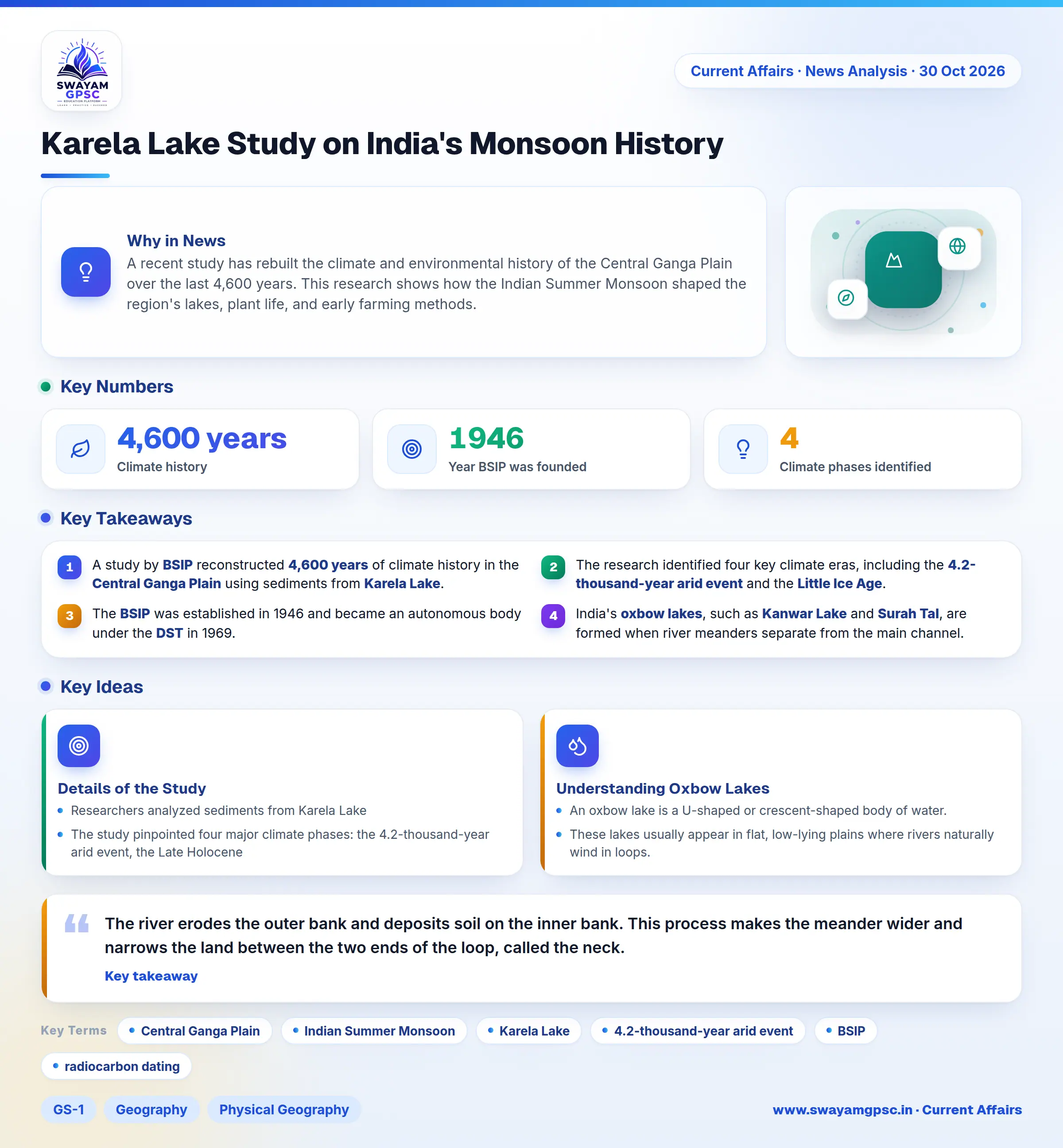
Karela Lake Study on India's Monsoon History
#GS-1 #Geography #Physical Geography #GS-2 #Current Events #National #Climate Change #Agricultural Resources
Key takeaways
- A study by BSIP reconstructed 4,600 years of climate history in the Central Ganga Plain using sediments from Karela Lake.
- The research identified four key climate eras, including the 4.2-thousand-year arid event and the Little Ice Age.
- The BSIP was established in 1946 and became an autonomous body under the DST in 1969.
- India's oxbow lakes, such as Kanwar Lake and Surah Tal, are formed when river meanders separate from the main channel.
Why in News
- A recent study has rebuilt the climate and environmental history of the Central Ganga Plain over the last 4,600 years.
- This research shows how the Indian Summer Monsoon shaped the region's lakes, plant life, and early farming methods.
Details of the Study
- Researchers analyzed sediments from Karela Lake, which is an oxbow lake located near Hulas Khera in the Lucknow district of Uttar Pradesh.
- The study pinpointed four major climate phases: the 4.2-thousand-year arid event, the Late Holocene, the Roman Warm Period, and the Little Ice Age.
- The Birbal Sahni Institute of Palaeosciences (BSIP) carried out this research. This institute operates autonomously under the Department of Science and Technology (DST).
- The BSIP started in 1946 to advance palaeobotany research. It received UNESCO support between 1951-53 and became an autonomous body in 1969.
- Scientists used several advanced techniques, including radiocarbon dating, carbon and nitrogen isotopes, grain-size analysis, sediment modelling, and pollen analysis.
- The findings reveal that monsoon shifts directly affected lake water levels, the movement of sediments, plant growth, microbial activity, and how early humans farmed.
Understanding Oxbow Lakes
- An oxbow lake is a U-shaped or crescent-shaped body of water. It forms when a river's winding curve, or meander, gets cut off from the main river channel.
- These lakes usually appear in flat, low-lying plains where rivers naturally wind in loops.
- The river erodes the outer bank and deposits soil on the inner bank. This process makes the meander wider and narrows the land between the two ends of the loop, called the neck.
- When floods occur or water flow increases, the river may cut straight through this narrow neck to create a shorter path.
- Sediments then block off the old loop, turning it into an oxbow lake.
- As time passes, the lake fills with organic matter and soil, turning into a swamp or marsh.
- Eventually, the lake might dry up entirely, leaving a curved mark on the land called a meander scar.
- Some famous examples in India include Kanwar Lake (Bihar), Gogabeel Lake (Bihar), and Surah Tal (UP).