Great Nicobar Project and India's Maritime Aspirations
#GS-2 #GS-3 #Government Policies & Interventions #Issues Related to SCs & STs #Environmental Impact Assessment (EIA) #Economy #Infrastructure #Environment #Biodiversity #Sustainable Development #National #International
Key takeaways
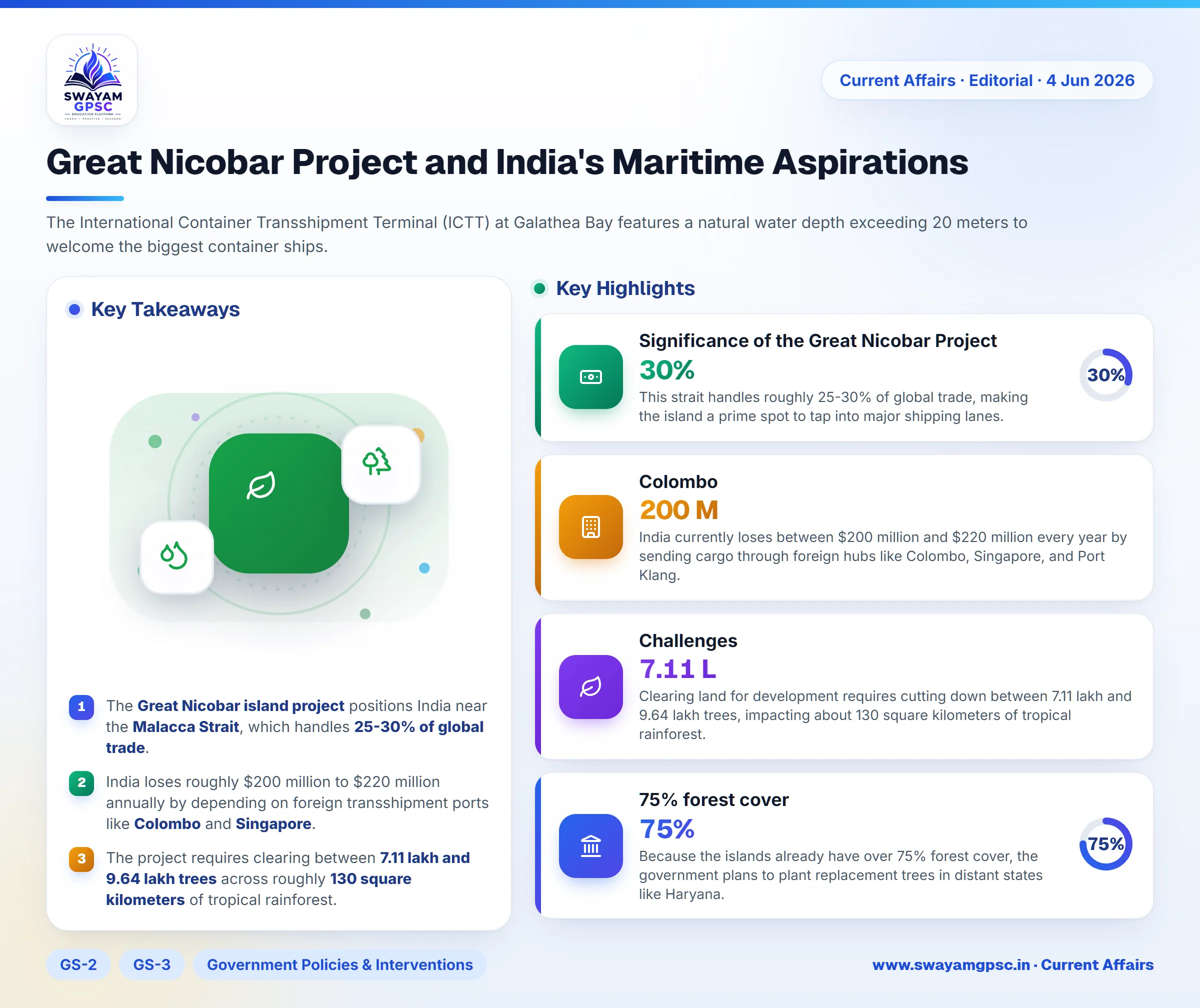
- The Great Nicobar island project positions India near the Malacca Strait, which handles 25-30% of global trade.
- India loses roughly $200 million to $220 million annually by depending on foreign transshipment ports like Colombo and Singapore.
- The project requires clearing between 7.11 lakh and 9.64 lakh trees across roughly 130 square kilometers of tropical rainforest.
- Great Nicobar lies in a Zone V seismic region with a history of major earthquakes with a return period of 420 to 750 years.
Why in News
- A recent editorial discusses the Great Nicobar island project and its goal to balance national security with ecological responsibility.
- The article argues that India must change its mindset from focusing only on land borders to building a strong maritime strategy.
Significance of the Great Nicobar Project
- Great Nicobar sits at the southern edge of the Andaman and Nicobar archipelago, just 40 nautical miles away from the busy Malacca Strait.
- This strait handles roughly 25-30% of global trade, making the island a prime spot to tap into major shipping lanes.
- India currently loses between $200 million and $220 million every year by sending cargo through foreign hubs like Colombo, Singapore, and Port Klang.
- The International Container Transshipment Terminal (ICTT) at Galathea Bay features a natural water depth exceeding 20 meters to welcome the biggest container ships.
- A new dual-use civilian-military airport will allow the Indian Navy to deploy P-8I Poseidon maritime patrol aircraft for better surveillance.
- This base helps counter the String of Pearls strategy by acting as an unsinkable aircraft carrier in the region.
- The development includes plans for a Green City and specialized tourism zones to boost the blue economy.
- A dedicated 450 MVA power plant running on solar and gas will keep the island's infrastructure running during power disruptions.
- The project aligns directly with India's Act East Policy by strengthening economic and strategic ties with ASEAN countries.
Challenges
- The project threatens the Shompen, which is a Particularly Vulnerable Tribal Group (PVTG) living in deep isolation.
- Clearing land for development requires cutting down between 7.11 lakh and 9.64 lakh trees, impacting about 130 square kilometers of tropical rainforest.
- Because the islands already have over 75% forest cover, the government plans to plant replacement trees in distant states like Haryana.
- Galathea Bay serves as a vital nesting ground for the endangered Giant Leatherback Sea Turtle.
- Critics point out that the Environmental Impact Assessment (EIA) relied on data collected over only a single seasonal cycle instead of a full year.
- The island sits inside a Zone V seismic region, with researchers warning of mega-earthquakes that happen every 420 to 750 years.
- The region's geology consists of tertiary sandstone, limestone, and shale over volcanic rocks, making it prone to liquefaction during tremors.
Way Forward
- Developers should use a modular design and build high-density, eco-friendly structures to protect primary rainforests.
- Officials must enforce strict No-Go zones using satellite geofencing and drone surveillance to safeguard tribal lands.
- An in-situ ecological restoration program should focus on coral reef rehabilitation in nearby undisturbed bays.
- The island should run entirely on renewable energy sources like offshore wind, solar, and wave energy to become a net-zero logistics hub.
- Engineers must build tsunami-proof infrastructure supported by natural coastal barriers like restored mangroves.
- The International Container Transshipment Terminal (ICTT) should aim for Green Port status by using shore-side electricity for docked ships.