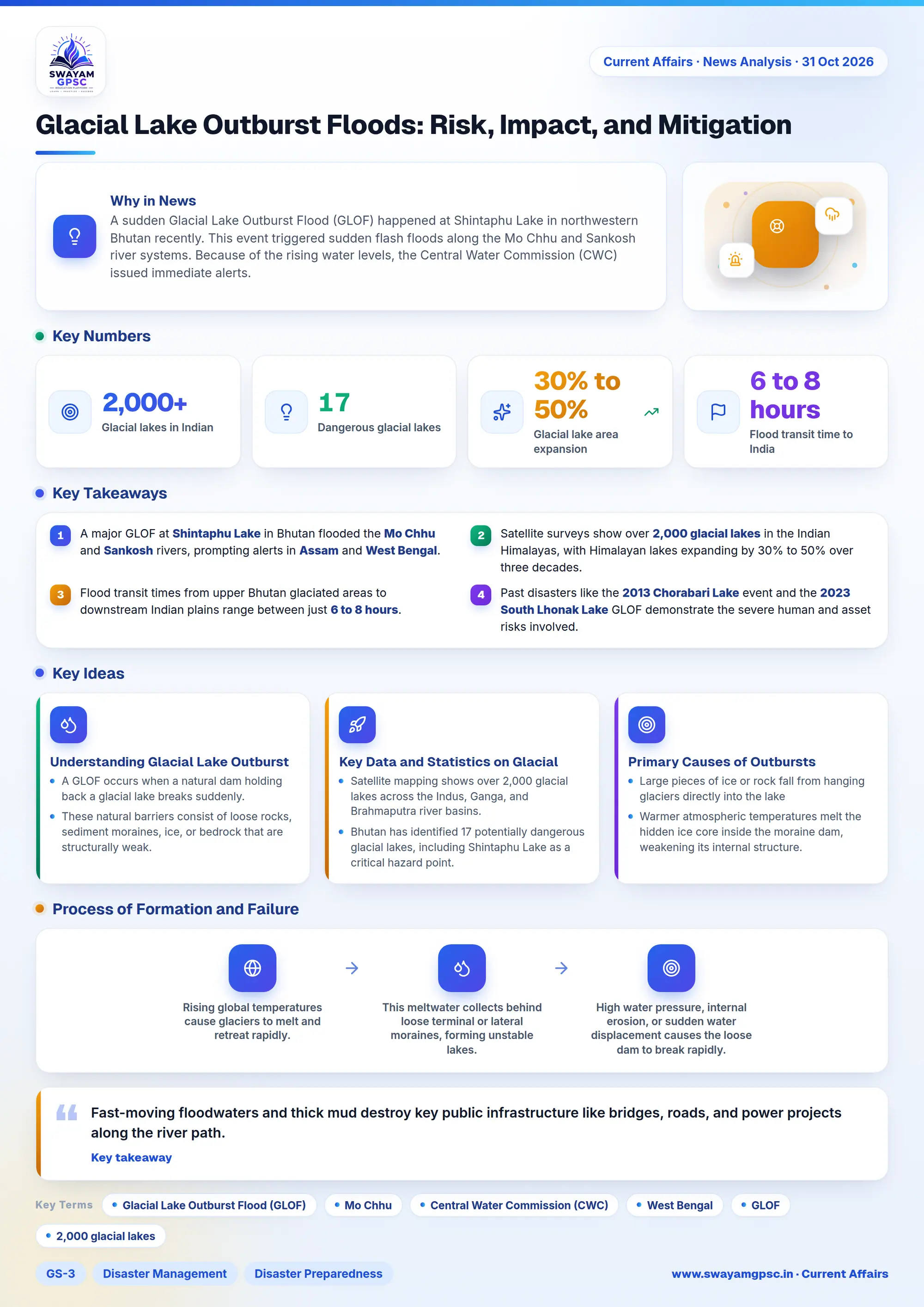
Glacial Lake Outburst Floods: Risk, Impact, and Mitigation
#GS-3 #Disaster Management #Disaster Preparedness #Environment #Climate Change #Geography #GLOF #Himalayas
Key takeaways
- A major GLOF at Shintaphu Lake in Bhutan flooded the Mo Chhu and Sankosh rivers, prompting alerts in Assam and West Bengal.
- Satellite surveys show over 2,000 glacial lakes in the Indian Himalayas, with Himalayan lakes expanding by 30% to 50% over three decades.
- Flood transit times from upper Bhutan glaciated areas to downstream Indian plains range between just 6 to 8 hours.
- Past disasters like the 2013 Chorabari Lake event and the 2023 South Lhonak Lake GLOF demonstrate the severe human and asset risks involved.
- The NDMA recommends using Synthetic Aperture Radar (SAR) mapping, automated early warnings, and controlled lake siphoning to reduce risk.
Why in News
- A sudden Glacial Lake Outburst Flood (GLOF) happened at Shintaphu Lake in northwestern Bhutan recently.
- This event triggered sudden flash floods along the Mo Chhu and Sankosh river systems.
- Because of the rising water levels, the Central Water Commission (CWC) issued immediate alerts.
- Local administrations in border districts of West Bengal and Assam also warned residents living near riverbanks.
Understanding Glacial Lake Outburst Floods
- A GLOF occurs when a natural dam holding back a glacial lake breaks suddenly.
- These natural barriers consist of loose rocks, sediment moraines, ice, or bedrock that are structurally weak.
- When these barriers collapse, millions of cubic meters of water, mud, and heavy boulders rush downstream within hours.
Process of Formation and Failure
- Rising global temperatures cause glaciers to melt and retreat rapidly.
- This meltwater collects behind loose terminal or lateral moraines, forming unstable lakes.
- High water pressure, internal erosion, or sudden water displacement causes the loose dam to break rapidly.
Key Data and Statistics on Glacial Lakes
- Satellite mapping shows over 2,000 glacial lakes across the Indus, Ganga, and Brahmaputra river basins.
- Bhutan has identified 17 potentially dangerous glacial lakes, including Shintaphu Lake as a critical hazard point.
- Glacial lakes in the Hindu Kush Himalayas have expanded by 30% to 50% over the last 30 years due to melting ice.
- Floodwaters moving through the Brahmaputra-Sankosh basin take only 6 to 8 hours to reach populated areas in Assam and West Bengal.
Primary Causes of Outbursts
- Large pieces of ice or rock fall from hanging glaciers directly into the lake, creating huge displacement waves that wash over the dam.
- Warmer atmospheric temperatures melt the hidden ice core inside the moraine dam, weakening its internal structure.
- Heavy cloudbursts and intense rainfall fill the lake beyond capacity and turn dam material into loose mud.
- Strong earthquakes along active geological fault lines shatter the fragile moraine barriers and cause immediate breaches.
Downstream Impacts and Hazards
- Fast-moving floodwaters and thick mud destroy key public infrastructure like bridges, roads, and power projects along the river path.
- For example, the recent surge washed away Bhutan's Solar Irrigation Lifting System in Punakha and the famous Gasa Tshachu hot springs.
- These sudden floods strike riverbank villages with almost no advance warning, causing heavy loss of life and forced human displacement.
- Historical examples include the tragic 2013 Chorabari Lake outburst in Kedarnath and the 2023 South Lhonak Lake GLOF in Sikkim.
- Enormous loads of silt and boulders raise the riverbed levels, which increases long-term flooding risks in downstream plains.
- Swollen rivers like the Sankosh and Brahmaputra have inundated vast floodplain areas in Dhubri district of Assam and Alipurduar and Jalpaiguri districts in West Bengal.
- Layers of infertile sand and mud cover agricultural fields, ruin soil quality, and destroy freshwater fish habitats.
Challenges in Managing Risk
- Extremely remote Himalayan geography makes manual monitoring of high-altitude glacial lakes very difficult.
- Weather systems in high-mountain areas are unpredictable, which leaves downstream communities with very little warning time during an outburst.
- Because river systems cross international borders, managing these disasters requires cross-border coordination that is often delayed.
NDMA Guidelines for Disaster Mitigation
- Use satellite imagery, including Synthetic Aperture Radar (SAR) and drones, to track glacial retreat and identify high-risk lakes.
- Reduce high water volumes by using siphons, heavy pumps, or controlled channels cut through moraine dams.
- Install automated water-level sensors, rain gauges, and acoustic sirens linked directly to real-time satellite communication networks.
- Enforce strict building codes that prevent construction in danger zones, and make GLOF risk audits mandatory for hydro projects.
- Train village volunteers as first responders, combining local community knowledge with official relief forces like the NDRF and SDRF.
Way Forward
- Neighboring nations must create real-time data sharing systems to share early flood alerts across international borders.
- Governments need to set up comprehensive early warning networks using modern satellite links along all major mountain river channels.
- State authorities must strictly enforce land-use rules to prevent human settlements from expanding into identified high-risk flood zones.