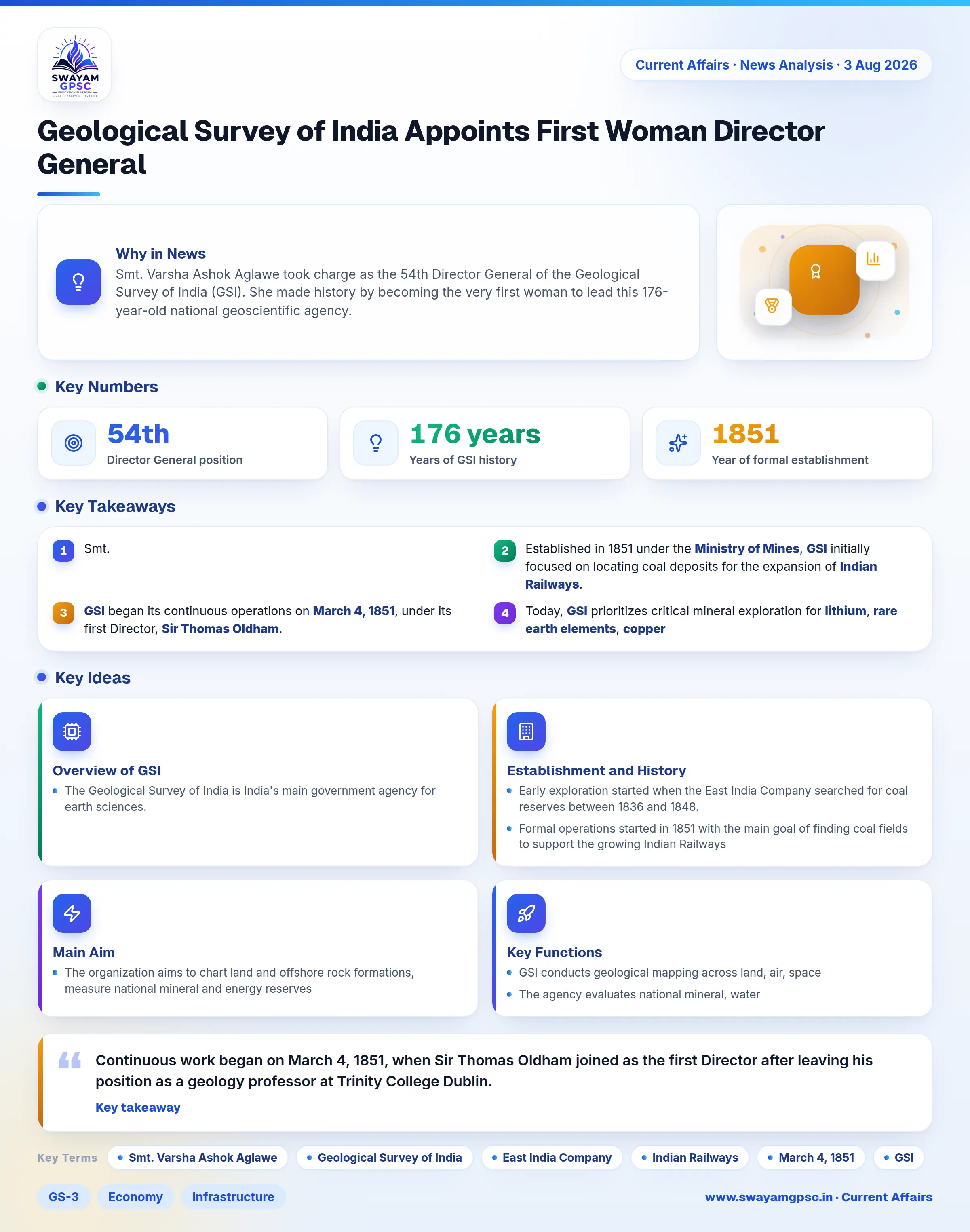
Geological Survey of India Appoints First Woman Director General
#GS-3 #Economy #Infrastructure #Science & Technology #Environment #Current Events #National #Geological Survey of India
Key takeaways
- Smt. Varsha Ashok Aglawe took charge as the 54th Director General of the Geological Survey of India (GSI), becoming the first woman to head the organization in its 176-year history.
- Established in 1851 under the Ministry of Mines, GSI initially focused on locating coal deposits for the expansion of Indian Railways.
- GSI began its continuous operations on March 4, 1851, under its first Director, Sir Thomas Oldham.
- Today, GSI prioritizes critical mineral exploration for lithium, rare earth elements, copper, and cobalt alongside natural disaster risk assessments.
Why in News
- Smt. Varsha Ashok Aglawe took charge as the 54th Director General of the Geological Survey of India (GSI). She made history by becoming the very first woman to lead this 176-year-old national geoscientific agency.
Overview of GSI
- The Geological Survey of India is India's main government agency for earth sciences. It creates map databases, evaluates mineral reserves, and runs basic geological studies while working under the Ministry of Mines.
Establishment and History
- Early exploration started when the East India Company searched for coal reserves between 1836 and 1848. Official records first used the name Geological Survey of India in an 1848 report by John McClelland.
- Formal operations started in 1851 with the main goal of finding coal fields to support the growing Indian Railways train network.
- Continuous work began on March 4, 1851, when Sir Thomas Oldham joined as the first Director after leaving his position as a geology professor at Trinity College Dublin.
Main Aim
- The organization aims to chart land and offshore rock formations, measure national mineral and energy reserves, guide government policies with scientific advice, and reduce risks from natural disasters.
Key Functions
- GSI conducts geological mapping across land, air, space, and sea using modern physical and chemical testing techniques to detail underground rock structures.
- The agency evaluates national mineral, water, and energy reserves with special focus on critical raw materials such as lithium, rare earth elements, copper, and cobalt.
- It performs safety testing for public bridges and roads, studies earthquake zones, tracks landslides, monitors glaciers, and measures natural disaster risks.
- The organization works as a national central hub for storing spatial and geological databases through digital information tools.
- It runs advanced research on polar regions, fossils, and climate history by partnering with domestic and foreign universities.