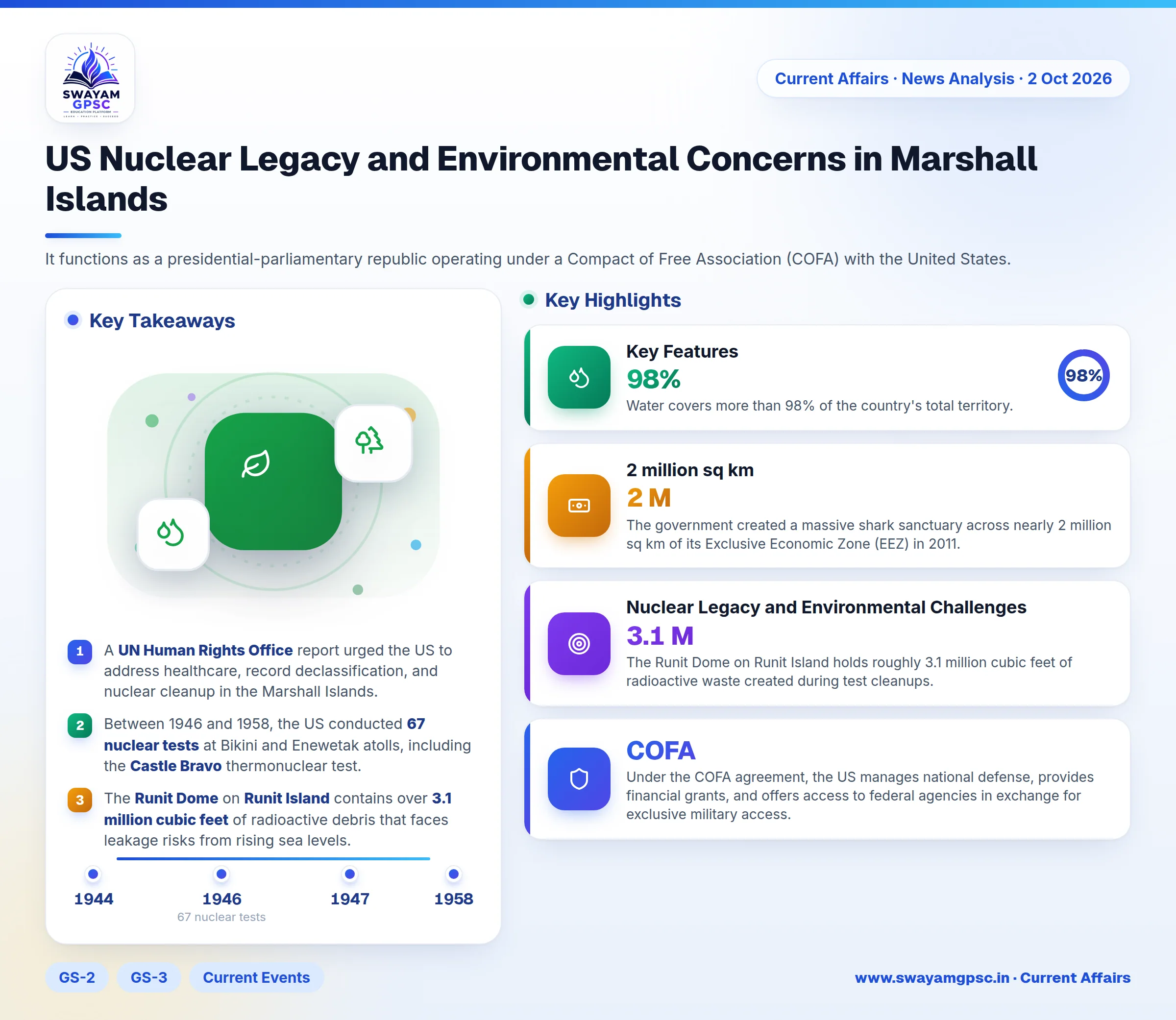
US Nuclear Legacy and Environmental Concerns in Marshall Islands
#GS-2 #GS-3 #Current Events #International #Geography #Physical Geography #Environment #Pollution #Mapping #Marshall Islands #Runit Dome #UN Human Rights Office
Key takeaways
- A UN Human Rights Office report urged the US to address healthcare, record declassification, and nuclear cleanup in the Marshall Islands.
- Between 1946 and 1958, the US conducted 67 nuclear tests at Bikini and Enewetak atolls, including the Castle Bravo thermonuclear test.
- The Runit Dome on Runit Island contains over 3.1 million cubic feet of radioactive debris that faces leakage risks from rising sea levels.
- The Marshall Islands consists of 29 coral atolls and 5 islands in Micronesia, with over 98% of its territory covered by water.
- With an average elevation of just 2.1 metres, the nation faces high climate vulnerability alongside its strategic hosting of the US Ronald Reagan Ballistic Missile Defense Test Site.
Why in News
- A recent UN Human Rights Office report urged the United States to address its nuclear legacy in the Marshall Islands.
- The report asked the US government to provide healthcare support, declassify historical records, and conduct proper radioactive clean-up operations.
About The Marshall Islands
- The Marshall Islands is a sovereign archipelagic nation located in Oceania.
- It functions as a presidential-parliamentary republic operating under a Compact of Free Association (COFA) with the United States.
- Under the COFA agreement, the US manages national defense, provides financial grants, and offers access to federal agencies in exchange for exclusive military access.
Geographical Location
- The Marshall Islands is situated in Micronesia within the central-western Pacific Ocean.
- It lies north of the equator, positioned between Hawaii and Australia.
- It is located close to Micronesia, Kiribati, Nauru, and Wake Island.
Historical Background
- Austronesian settlers originally inhabited the islands around the 2nd millennium BCE.
- These early inhabitants developed advanced stick-chart navigation and established traditional societies ruled by paramount chiefs known as iroijlaplap.
- Spanish navigator Alonso de Salazar became the first European to sight the islands in 1526.
- The country was later named after British explorer John Marshall, who visited the region in 1788.
- Germany declared a protectorate over the area in 1885, followed by Japanese occupation beginning in 1914.
- The islands fell under a Japanese mandate until US military forces captured them in 1944.
- The US managed the region as part of the UN Trust Territory of the Pacific Islands starting in 1947.
- The country established self-government in 1979 and achieved full independence in 1986.
Key Features
- The geography consists of 29 coral atolls and 5 individual islands split into two parallel chains.
- The eastern chain is called Ratak and the western chain is named Ralik.
- Water covers more than 98% of the country's total territory.
- Majuro serves as the national capital and primary urban center.
- A major portion of the population resides in Majuro and Ebeye, which is located in Kwajalein Atoll.
- Kwajalein Atoll houses the US Ronald Reagan Ballistic Missile Defense Test Site, which supports missile testing, tracking, and space operations.
- The government created a massive shark sanctuary across nearly 2 million sq km of its Exclusive Economic Zone (EEZ) in 2011.
- This sanctuary strictly forbids commercial shark fishing and shark finning activities.
- The nation maintains an average elevation of only 2.1 metres above sea level.
- Low elevation makes the land extremely vulnerable to sea-level rise, coastal flooding, and freshwater salinisation.
Nuclear Legacy and Environmental Challenges
- The US military carried out 67 nuclear tests at Bikini and Enewetak atolls between 1946 and 1958.
- These operations included the Ivy Mike test and the high-yield Castle Bravo thermonuclear detonation.
- Nuclear testing forced local populations to leave their home islands permanently.
- Fallout exposure caused long-term health problems, social disruption, and damaged local livelihoods.
- The Runit Dome on Runit Island holds roughly 3.1 million cubic feet of radioactive waste created during test cleanups.
- The concrete dome rests directly on porous coral rock near sea level.
- Rising ocean levels and severe storm surges increase the risk of radioactive material leaking into the ocean.