Super El Niño 2026-27 and Tamil Nadu Anomaly
#GS-1 #Physical Geography #Important Geophysical Phenomena #Quick Facts For Prelims #Current Events #National
Key takeaways
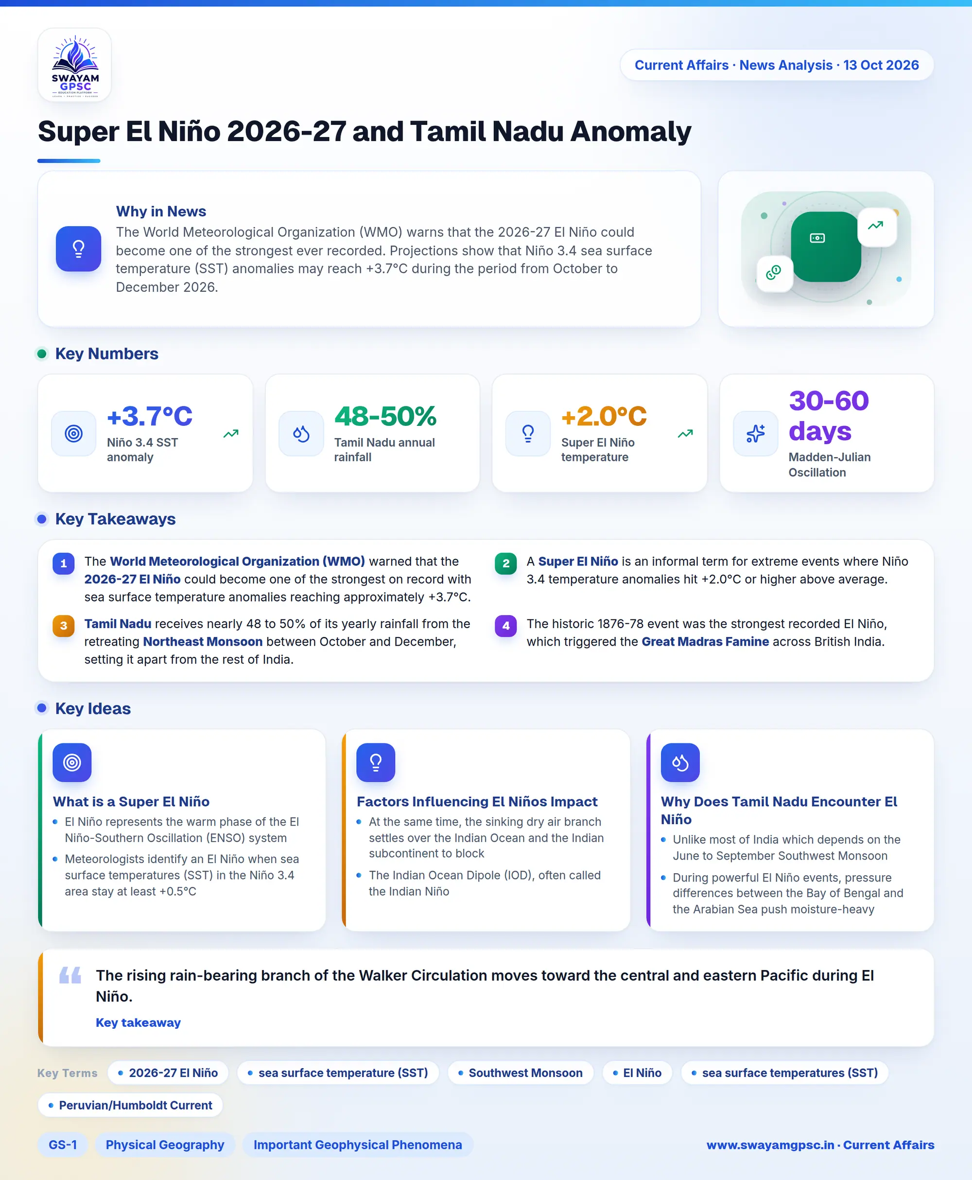
- The World Meteorological Organization (WMO) warned that the 2026-27 El Niño could become one of the strongest on record with sea surface temperature anomalies reaching approximately +3.7°C.
- A Super El Niño is an informal term for extreme events where Niño 3.4 temperature anomalies hit +2.0°C or higher above average.
- Tamil Nadu receives nearly 48 to 50% of its yearly rainfall from the retreating Northeast Monsoon between October and December, setting it apart from the rest of India.
- The historic 1876-78 event was the strongest recorded El Niño, which triggered the Great Madras Famine across British India.
Why in News
- The World Meteorological Organization (WMO) warns that the 2026-27 El Niño could become one of the strongest ever recorded.
- Projections show that Niño 3.4 sea surface temperature (SST) anomalies may reach +3.7°C during the period from October to December 2026.
- While typical El Niño conditions weaken the general Southwest Monsoon across India, Tamil Nadu faces the risk of heavier Northeast Monsoon rainfall and severe flooding between October and December.
What is a Super El Niño
- El Niño represents the warm phase of the El Niño-Southern Oscillation (ENSO) system, which is a coupled ocean and atmosphere phenomenon occurring every 2 to 7 years in the tropical Pacific Ocean.
- Meteorologists identify an El Niño when sea surface temperatures (SST) in the Niño 3.4 area stay at least +0.5°C above normal for five straight overlapping three-month periods using the Oceanic Niño Index (ONI).
- During this event, easterly trade winds weaken or shift into westerlies, driving warm surface water toward South American coasts like Peru and Ecuador while stopping cold water from rising through the Peruvian/Humboldt Current.
- The label Super El Niño is an informal term used for extreme events where Niño 3.4 anomalies hit +2.0°C or higher above average, with parts of the eastern Pacific crossing +3.0°C to disrupt global weather.
- In historical records, the 1876-78 event was the strongest ever, triggering the Great Madras Famine and severe drought across the Deccan with millions of deaths.
- The 1997-98 event proved to be an exception because India received normal Southwest Monsoon rains as a strong Positive Indian Ocean Dipole (+IOD) balanced out the climate.
- The 2015-16 event created consecutive droughts during the Southwest Monsoon across interior regions while simultaneously causing the destructive December 2015 Chennai floods during the Northeast Monsoon.
Factors Influencing El Niños Impact on India
- The rising rain-bearing branch of the Walker Circulation moves toward the central and eastern Pacific during El Niño.
- At the same time, the sinking dry air branch settles over the Indian Ocean and the Indian subcontinent to block Southwest Monsoon cloud creation.
- The Indian Ocean Dipole (IOD), often called the Indian Niño, measures the temperature difference between the Western Equatorial Indian Ocean near the Arabian Sea and the Eastern Equatorial Indian Ocean near Indonesia.
- A Positive IOD brings a warmer Arabian Sea that strengthens the Indian monsoon and offsets El Niño droughts, whereas a Negative IOD worsens the dry conditions.
- Standard or canonical El Niño warming happens in the Eastern Pacific near Peru and typically hurts the Indian Southwest Monsoon.
- In contrast, El Niño Modoki brings warming to the Central Pacific with cooler water surrounding it on both sides.
- This Modoki pattern splits atmospheric winds into two cells that increase cyclone frequency in the Arabian Sea while lowering them in the Bay of Bengal.
- Unlike El Niño which stays in the Pacific, the Madden-Julian Oscillation (MJO) is a moving band of rain clouds and winds traveling around the equator every 30 to 60 days.
- When the active wet phase of the MJO passes over the Indian Ocean during the monsoon season, it delivers temporary bursts of heavy rain that help revive the monsoon even during El Niño years.
Why Does Tamil Nadu Encounter El Niño Differently
- Unlike most of India which depends on the June to September Southwest Monsoon, Tamil Nadu sits in the rain-shadow of the Western Ghats and receives nearly 48 to 50% of its yearly rain from the retreating Northeast Monsoon.
- During powerful El Niño events, pressure differences between the Bay of Bengal and the Arabian Sea push moisture-heavy winds toward coastal Tamil Nadu.
- Clear skies and weak winds during El Niño let sunlight warm the southern Bay of Bengal by about ~1°C.
- The shallow mixed layer and salt layers of the Bay trap this heat near the surface to supply extra moisture for developing rain systems.
- When retreating northeasterly winds and low-pressure depressions cross these warm Bay waters in November and December, they absorb massive heat and release it as intense downpours and cyclones along the Tamil Nadu coast.
- The East India Coastal Current (EICC) near the Tamil Nadu coast reverses its direction seasonally between February and November by shifting from northward to southward.
- This current shift alters local sea surface temperatures and helps low-pressure weather systems form and grow stronger.
- Furthermore, equatorial ocean currents in the western Indian Ocean that normally flow eastward reversed to flow westward in 2026, driving even more warm water toward the Indian coastline.