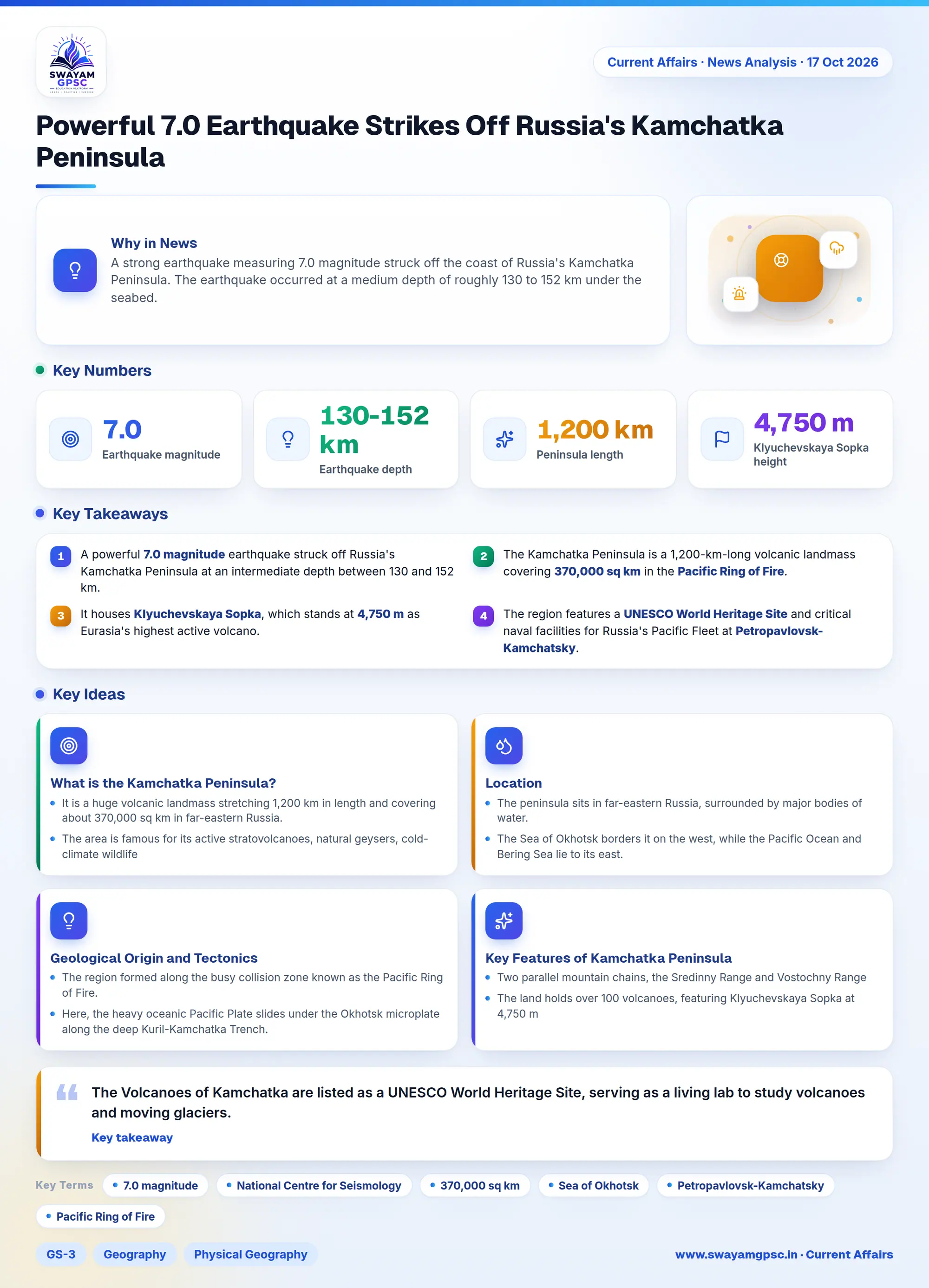
Powerful 7.0 Earthquake Strikes Off Russia's Kamchatka Peninsula
#GS-3 #Geography #Physical Geography #Disaster Management #Disaster Preparedness #Current Events #International #Mapping
Key takeaways
- A powerful 7.0 magnitude earthquake struck off Russia's Kamchatka Peninsula at an intermediate depth between 130 and 152 km.
- The Kamchatka Peninsula is a 1,200-km-long volcanic landmass covering 370,000 sq km in the Pacific Ring of Fire.
- It houses Klyuchevskaya Sopka, which stands at 4,750 m as Eurasia's highest active volcano.
- The region features a UNESCO World Heritage Site and critical naval facilities for Russia's Pacific Fleet at Petropavlovsk-Kamchatsky.
Why in News
- A strong earthquake measuring 7.0 magnitude struck off the coast of Russia's Kamchatka Peninsula.
- The earthquake occurred at a medium depth of roughly 130 to 152 km under the seabed.
- Official data from the National Centre for Seismology and global monitoring agencies confirmed the exact location and depth.
What is the Kamchatka Peninsula?
- It is a huge volcanic landmass stretching 1,200 km in length and covering about 370,000 sq km in far-eastern Russia.
- The area is famous for its active stratovolcanoes, natural geysers, cold-climate wildlife, and high risk of big earthquakes.
Location
- The peninsula sits in far-eastern Russia, surrounded by major bodies of water.
- The Sea of Okhotsk borders it on the west, while the Pacific Ocean and Bering Sea lie to its east.
- Its main administrative center and deep-water harbor is Petropavlovsk-Kamchatsky.
Geological Origin and Tectonics
- The region formed along the busy collision zone known as the Pacific Ring of Fire.
- Here, the heavy oceanic Pacific Plate slides under the Okhotsk microplate along the deep Kuril-Kamchatka Trench.
- This constant plate movement melts rock underground, creating active volcanoes and causing frequent powerful megathrust earthquakes.
Key Features of Kamchatka Peninsula
- Two parallel mountain chains, the Sredinny Range and Vostochny Range, run along the land with a central river valley in between.
- The land holds over 100 volcanoes, featuring Klyuchevskaya Sopka at 4,750 m, which is the highest active volcano in Eurasia.
- Hot springs, mud pools, and steam vents cover the area, including the world-famous Valley of Geysers and the Pauzhetka geothermal power plant.
- The western shore has flat, marshy land, whereas the eastern coast features steep cliffs, deep bays, and rocky points.
- Cold tundra, short shrubs, and birch forests cover the landscape, which supports brown bears, Steller's sea eagles, and Pacific salmon.
Significance
- The Volcanoes of Kamchatka are listed as a UNESCO World Heritage Site, serving as a living lab to study volcanoes and moving glaciers.
- The region holds strategic importance because Russia bases its Pacific Fleet submarines near Petropavlovsk-Kamchatsky.
- The ocean waters around Kamchatka yield rich commercial catches of salmon, pollock, and king crab.