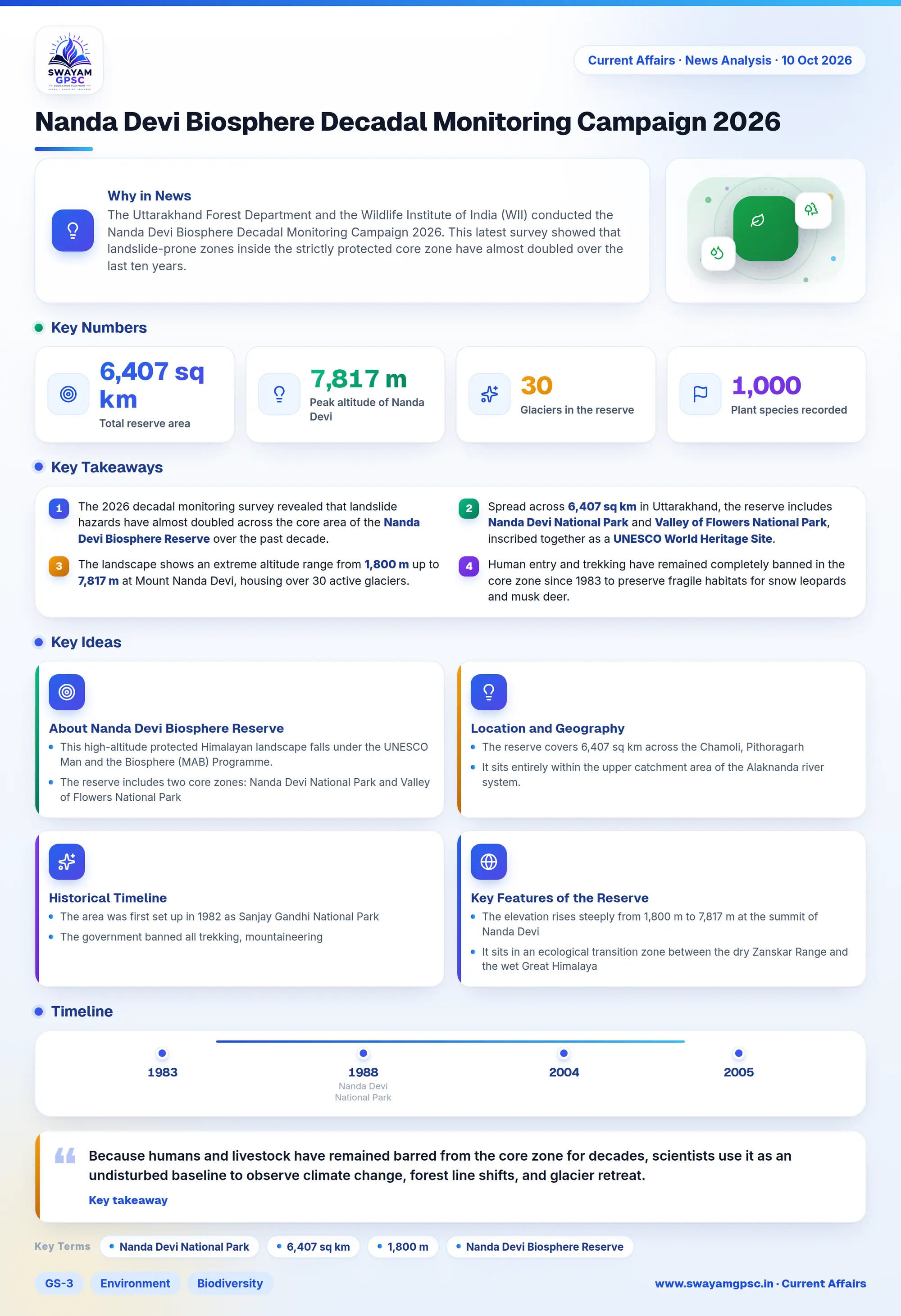
Nanda Devi Biosphere Decadal Monitoring Campaign 2026
#GS-3 #Environment #Biodiversity #Geography #Physical Geography #Mapping #Wildlife #Disaster Management
Key takeaways
- The 2026 decadal monitoring survey revealed that landslide hazards have almost doubled across the core area of the Nanda Devi Biosphere Reserve over the past decade.
- Spread across 6,407 sq km in Uttarakhand, the reserve includes Nanda Devi National Park and Valley of Flowers National Park, inscribed together as a UNESCO World Heritage Site.
- The landscape shows an extreme altitude range from 1,800 m up to 7,817 m at Mount Nanda Devi, housing over 30 active glaciers.
- Human entry and trekking have remained completely banned in the core zone since 1983 to preserve fragile habitats for snow leopards and musk deer.
Why in News
- The Uttarakhand Forest Department and the Wildlife Institute of India (WII) conducted the Nanda Devi Biosphere Decadal Monitoring Campaign 2026.
- This latest survey showed that landslide-prone zones inside the strictly protected core zone have almost doubled over the last ten years.
About Nanda Devi Biosphere Reserve
- This high-altitude protected Himalayan landscape falls under the UNESCO Man and the Biosphere (MAB) Programme.
- The reserve includes two core zones: Nanda Devi National Park and Valley of Flowers National Park, which together form a UNESCO World Heritage Site.
Location and Geography
- The reserve covers 6,407 sq km across the Chamoli, Pithoragarh, and Bageshwar districts in the Garhwal and Kumaon Himalayas of Uttarakhand.
- It sits entirely within the upper catchment area of the Alaknanda river system.
Historical Timeline
- The area was first set up in 1982 as Sanjay Gandhi National Park, and authorities later changed its name to Nanda Devi National Park.
- The government banned all trekking, mountaineering, and human activities in the core zone in 1983 to safeguard its fragile ecosystem.
- UNESCO inscribed Nanda Devi National Park as a UNESCO World Heritage Site in 1988, and added Valley of Flowers National Park to this listing in 2005.
- The reserve became a member of the UNESCO World Network of Biosphere Reserves under the MAB programme in 2004.
Key Features of the Reserve
- The elevation rises steeply from 1,800 m to 7,817 m at the summit of Nanda Devi, which is India's second-highest peak surrounded by massive mountain walls.
- It sits in an ecological transition zone between the dry Zanskar Range and the wet Great Himalaya, hosting temperate forests, alpine meadows called bugyals, and perpetual snowfields.
- The landscape houses more than 1,000 plant species, where 55% are Himalayan natives and 10% are endemic plants, including dwarf rhododendrons and unique medicinal herbs.
- It serves as a vital refuge for endangered alpine wildlife like snow leopards, Himalayan musk deer, bharal, Himalayan black bears, and brown bears.
- The reserve holds over 30 glaciers, including Rishi, Trishul, and Ramani glaciers, which feed the Rishi Ganga river before it flows into the Dhauliganga and Alaknanda rivers.
Significance
- Because humans and livestock have remained barred from the core zone for decades, scientists use it as an undisturbed baseline to observe climate change, forest line shifts, and glacier retreat.
- Tracking unstable moraines, melting glaciers, and glacial lakes improves early warning networks for downstream communities, especially after the fatal 2021 Rishi Ganga disaster.