Managing Floods and Landslides in Himalayan and North-Eastern States
#GS-3 #Disaster Management #Disaster Preparedness #Disaster Response #Disaster Recovery #Environment #Climate Change #Infrastructure #Current Events #National
Why in News
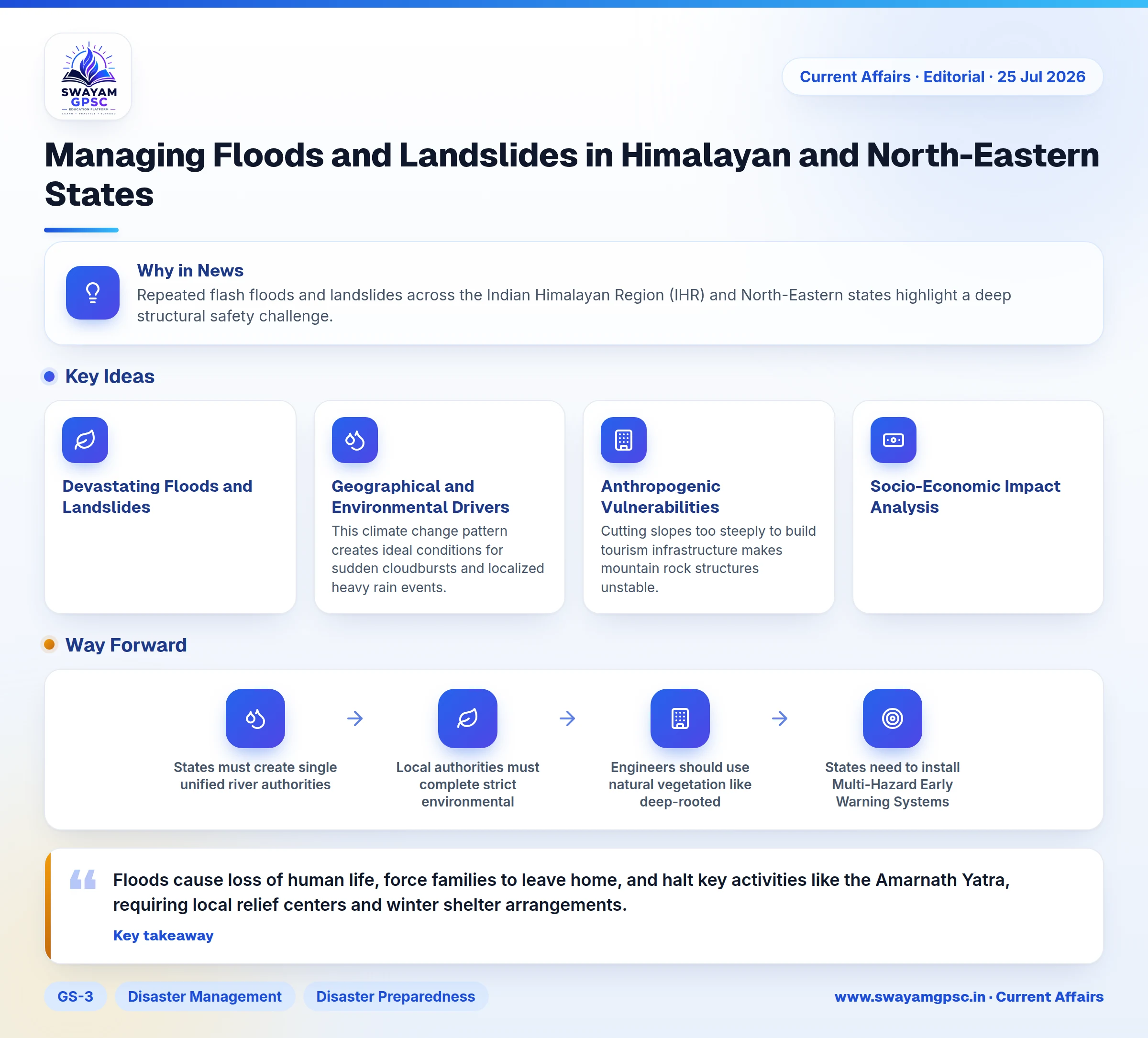
- Repeated flash floods and landslides across the Indian Himalayan Region (IHR) and North-Eastern states highlight a deep structural safety challenge.
- These floods occurred even during a nationwide seasonal monsoon rainfall deficit, showing that disaster risk comes from intense short bursts of local rain rather than total seasonal rainfall.
Devastating Floods and Landslides in the Region
- Extreme climate events combined with unscientific developmental construction trigger severe deluges, leading to loss of life, damaged infrastructure, and community displacement.
Geographical and Environmental Drivers
- The Himalayas are young fold mountains with steep slopes, loose sedimentary rocks, and active fault lines like the Main Boundary Thrust.
- Short bursts of extremely heavy rainfall saturate topsoil rapidly, causing massive landslides and mudflows down mountain slopes.
- Major rivers in North-East India, including the Brahmaputra and Barak, transport vast quantities of silt from upper mountain areas.
- Silt builds up on riverbeds and reduces water capacity, causing rivers to overflow rapidly during heavy downpours.
- The IPCC AR6 report emphasizes that higher temperatures in mountain areas increase moisture retention in the air.
- This climate change pattern creates ideal conditions for sudden cloudbursts and localized heavy rain events.
Anthropogenic Vulnerabilities
- Rapid construction along steep hillsides, improper road cutting, and poorly planned drainage systems block natural water paths.
- Cutting slopes too steeply to build tourism infrastructure makes mountain rock structures unstable.
- Cutting down forests in upper catchment areas weakens topsoil and speeds up rainwater runoff.
- Encroachment and siltation in natural wetlands like Beels in Assam destroy natural water storage areas during floods.
- Badly designed concrete structures like poor river embankments offer a false sense of safety and cause high-velocity flooding when they break.
Socio-Economic Impact Analysis
- Floods cause loss of human life, force families to leave home, and halt key activities like the Amarnath Yatra, requiring local relief centers and winter shelter arrangements.
- Disasters destroy major roads, damage bridges, ruin standing crops, and hurt local tourism businesses, showing the urgent need for Climate Risk Insurance.
- Emergency response forces like the NDRF and Indian Army face extreme strain across wide mountain areas, highlighting the gap between emergency response and long-term risk reduction.
Policy and Implementation Bottlenecks
- Government authorities usually discuss disaster risk management only during active disaster crises rather than in multi-year planning.
- Standard operating rules fail on the ground because Panchayati Raj Institutions and local urban bodies lack money, staff, and technical training.
- High-altitude mountain zones lack sufficient Doppler Weather Radar (DWR) units and automatic weather stations, leaving hyper-local weather alerts weak.
Way Forward
- States must create single unified river authorities for river basins like the Brahmaputra and Chenab and use GIS mapping for land planning.
- Local authorities must complete strict environmental carrying capacity checks before approving new buildings in fragile hill towns.
- Engineers should use natural vegetation like deep-rooted Vetiver grass alongside structural walls to stabilize steep slopes near roads.
- States need to install Multi-Hazard Early Warning Systems (MHEWS) using broadcast signals to alert remote villagers instantly.
- Local volunteers like Aapda Mitras should receive regular training for search, rescue, and hygiene management in flood relief camps.
- Disaster plans must follow global standards like the Sendai Framework (2015-2030), the Prime Minister's 10-Point Agenda, and CDRI resilient building guidelines.
Conclusion
- States must shift from emergency relief distribution to proactive long-term safety planning.
- Combining climate-resilient roads, river basin management, and trained local communities will protect long-term growth across mountain regions.