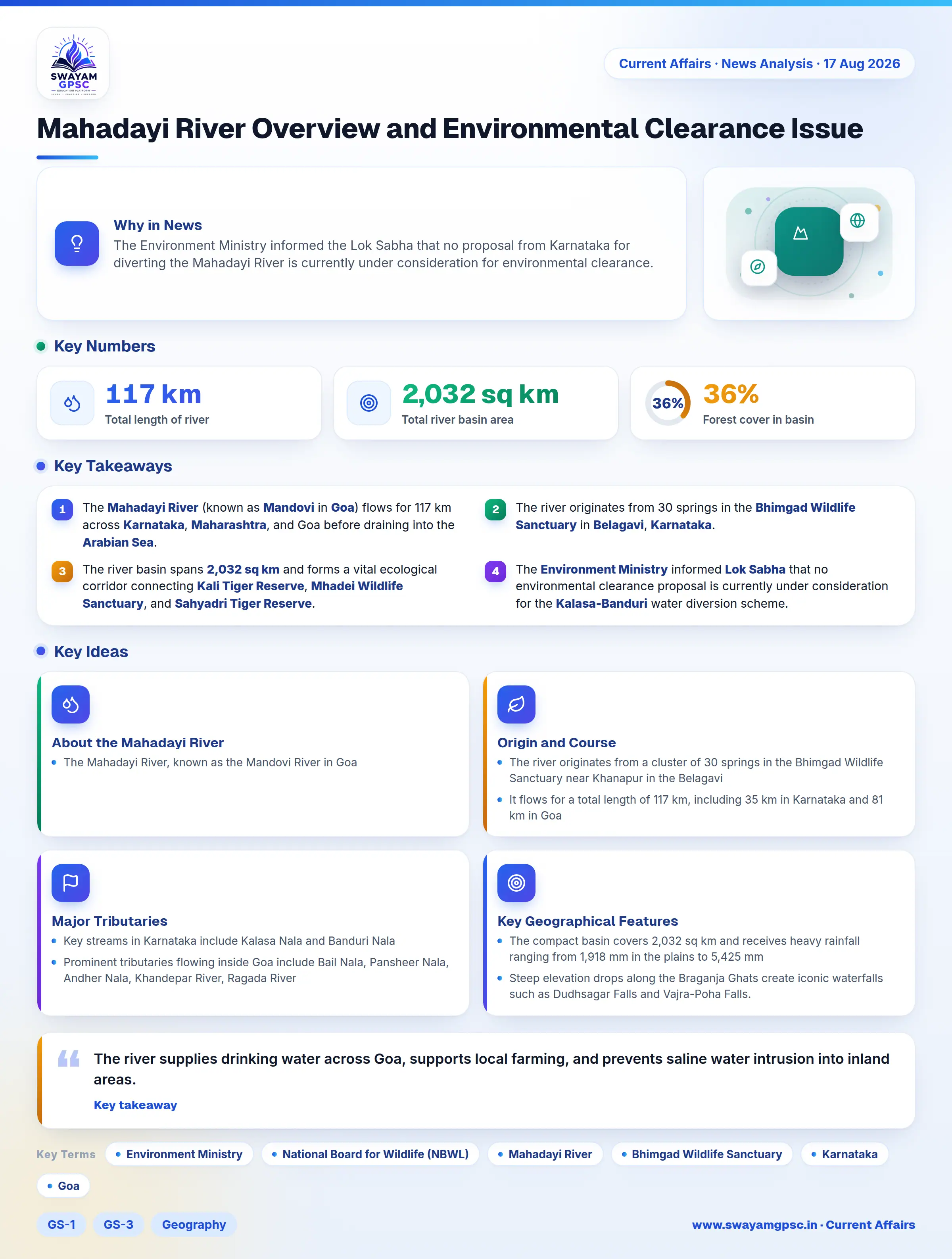
Mahadayi River Overview and Environmental Clearance Issue
#GS-1 #GS-3 #Geography #Physical Geography #Resources #Environment #Biodiversity #Wildlife #Mahadayi River #Mandovi River #Mapping
Key takeaways
- The Mahadayi River (known as Mandovi in Goa) flows for 117 km across Karnataka, Maharashtra, and Goa before draining into the Arabian Sea.
- The river originates from 30 springs in the Bhimgad Wildlife Sanctuary in Belagavi, Karnataka.
- The river basin spans 2,032 sq km and forms a vital ecological corridor connecting Kali Tiger Reserve, Mhadei Wildlife Sanctuary, and Sahyadri Tiger Reserve.
- The Environment Ministry informed Lok Sabha that no environmental clearance proposal is currently under consideration for the Kalasa-Banduri water diversion scheme.
Why in News
- The Environment Ministry informed the Lok Sabha that no proposal from Karnataka for diverting the Mahadayi River is currently under consideration for environmental clearance.
- The National Board for Wildlife (NBWL) has not approved any forest land diversion for the Kalasa Nala scheme within the Kali-Sahyadri tiger corridor.
About the Mahadayi River
- The Mahadayi River, known as the Mandovi River in Goa, is a major west-flowing inter-state river in peninsular India that serves as Goa's main lifeline.
Origin and Course
- The river originates from a cluster of 30 springs in the Bhimgad Wildlife Sanctuary near Khanapur in the Belagavi district of Karnataka.
- It flows for a total length of 117 km, including 35 km in Karnataka and 81 km in Goa, before draining into the Arabian Sea at Panaji through Mormugao and Aguada bays.
- The river basin extends across three states: Karnataka, Maharashtra, and Goa.
Major Tributaries
- Key streams in Karnataka include Kalasa Nala and Banduri Nala, which form part of the Kalasa-Banduri drinking water project.
- Prominent tributaries flowing inside Goa include Bail Nala, Pansheer Nala, Andher Nala, Khandepar River, Ragada River, and Mapusa River.
Key Geographical Features
- The compact basin covers 2,032 sq km and receives heavy rainfall ranging from 1,918 mm in the plains to 5,425 mm in the Ghats, yielding up to 5,703 M.cum of water.
- Steep elevation drops along the Braganja Ghats create iconic waterfalls such as Dudhsagar Falls and Vajra-Poha Falls.
- Dense forests cover over 36% of the basin, which features rich deposits of iron ore, bauxite, limestone, and manganese.
- It forms a crucial ecological corridor connecting Kali Tiger Reserve, Bhagwan Mahaveer Sanctuary, Mhadei Wildlife Sanctuary, and Sahyadri Tiger Reserve, protecting endangered species like Wroughton's Free-tailed Bat.
Significance of the River
- The river supplies drinking water across Goa, supports local farming, and prevents saline water intrusion into inland areas.
- It supports inland navigation, local fisheries, and eco-tourism around Dudhsagar Falls and mangrove backwaters.