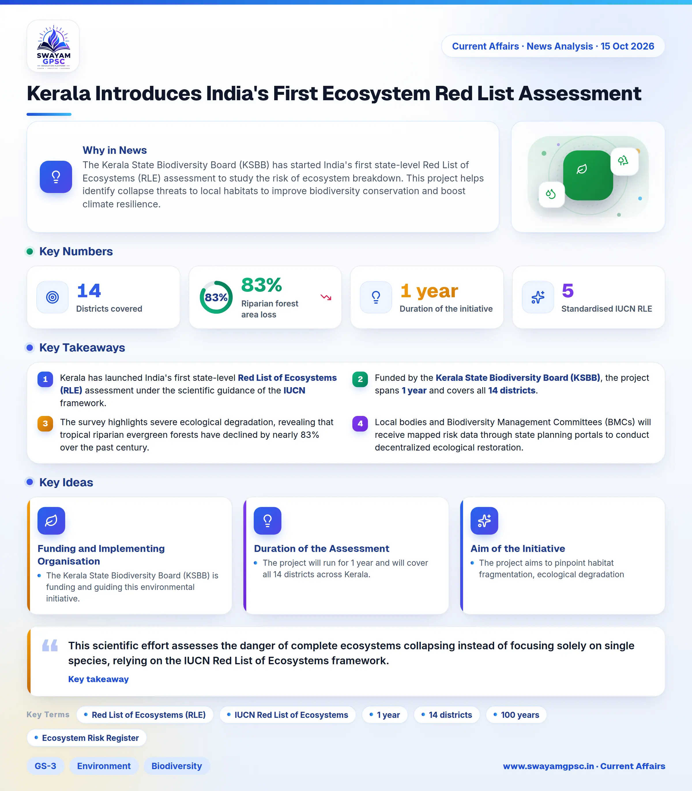
Kerala Introduces India's First Ecosystem Red List Assessment
#GS-3 #Environment #Biodiversity #Climate Change #GS-2 #Governance & Social Justice #Current Events #National #Ecosystem Red List Assessment #KSBB #IUCN
Key takeaways
- Kerala has launched India's first state-level Red List of Ecosystems (RLE) assessment under the scientific guidance of the IUCN framework.
- Funded by the Kerala State Biodiversity Board (KSBB), the project spans 1 year and covers all 14 districts.
- The survey highlights severe ecological degradation, revealing that tropical riparian evergreen forests have declined by nearly 83% over the past century.
- Local bodies and Biodiversity Management Committees (BMCs) will receive mapped risk data through state planning portals to conduct decentralized ecological restoration.
Why in News
- The Kerala State Biodiversity Board (KSBB) has started India's first state-level Red List of Ecosystems (RLE) assessment to study the risk of ecosystem breakdown.
- This project helps identify collapse threats to local habitats to improve biodiversity conservation and boost climate resilience.
About the Ecosystem Red List Assessment
- This scientific effort assesses the danger of complete ecosystems collapsing instead of focusing solely on single species, relying on the IUCN Red List of Ecosystems framework.
Funding and Implementing Organisation
- The Kerala State Biodiversity Board (KSBB) is funding and guiding this environmental initiative.
Duration of the Assessment
- The project will run for 1 year and will cover all 14 districts across Kerala.
Aim of the Initiative
- The project aims to pinpoint habitat fragmentation, ecological degradation, and collapse dangers to guide evidence-based habitat restoration and climate adaptation planning.
Key Features
- The initiative conducts an exhaustive survey of wetlands, river basins, forests, coastal areas, and high-altitude grasslands across all 14 districts to find vulnerable habitats.
- It uses the 5 standardised IUCN Red List of Ecosystems criteria to track past loss of extent, ecological deterioration, and systemic collapse threats.
- It spots critically threatened habitats, such as tropical riparian evergreen forests, which have suffered an 83% loss over the past 100 years.
- It develops targeted conservation tools, such as an Ecosystem Risk Register, an Ecosystem Typology Atlas, and specialized maps highlighting priority restoration zones.
- It connects these risk mapping layers directly to state planning web portals, enabling village panchayats and Biodiversity Management Committees (BMCs) to lead local conservation projects.
Significance of the Initiative
- This work shifts policy away from saving single species toward protecting whole landscapes, which secures ecological links and essential environmental services.
- It promotes natural environmental solutions that protect communities against coastal damage, floods, and landslides while supporting sustainable local development.