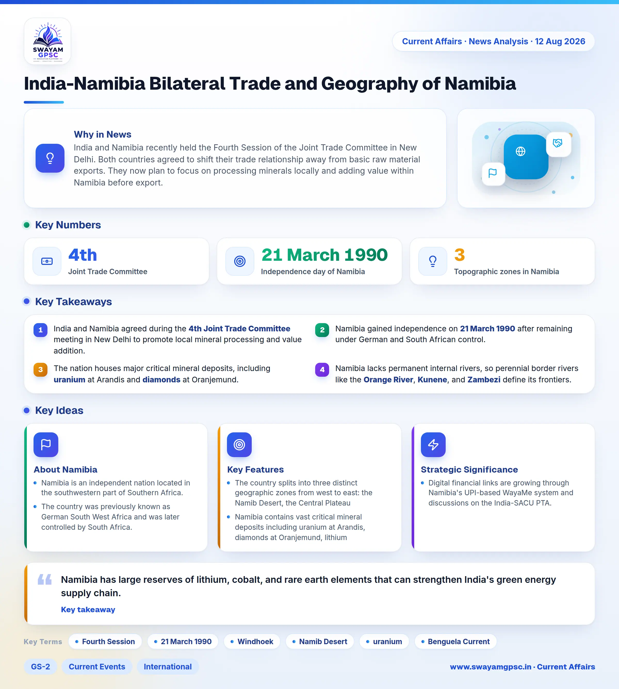
India-Namibia Bilateral Trade and Geography of Namibia
#GS-2 #Current Events #International #GS-3 #Geography #Resources #Economy #India-Namibia Relations
Key takeaways
- India and Namibia agreed during the 4th Joint Trade Committee meeting in New Delhi to promote local mineral processing and value addition.
- Namibia gained independence on 21 March 1990 after remaining under German and South African control.
- The nation houses major critical mineral deposits, including uranium at Arandis and diamonds at Oranjemund.
- Namibia lacks permanent internal rivers, so perennial border rivers like the Orange River, Kunene, and Zambezi define its frontiers.
- Bilateral trade cooperation is strengthening through Namibia's UPI-based WayaMe digital payment platform and negotiations on the India-SACU PTA.
Why in News
- India and Namibia recently held the Fourth Session of the Joint Trade Committee in New Delhi.
- Both countries agreed to shift their trade relationship away from basic raw material exports.
- They now plan to focus on processing minerals locally and adding value within Namibia before export.
About Namibia
- Namibia is an independent nation located in the southwestern part of Southern Africa.
- The country was previously known as German South West Africa and was later controlled by South Africa.
- Namibia achieved full independence on 21 March 1990.
- It lies along the southwestern coast of Africa and borders the South Atlantic Ocean.
- The capital city of Namibia is Windhoek.
- Namibia shares borders with Angola, Zambia, Botswana, South Africa, and the narrow Caprivi Strip.
Key Features
- The country splits into three distinct geographic zones from west to east: the Namib Desert, the Central Plateau, and the Kalahari Basin.
- Namibia contains vast critical mineral deposits including uranium at Arandis, diamonds at Oranjemund, lithium, graphite, copper, cobalt, and rare earth elements.
- The cold and nutrient-rich Benguela Current flows along the treacherous Skeleton Coast, creating rich marine fishing zones.
- Namibia has no permanent rivers inside its mainland. All perennial rivers like the Kunene, Okavango, Zambezi, and Orange River mark its national borders.
- It is one of the driest nations in sub-Saharan Africa, containing major geological formations like the Etosha Pan salt flat and Fish River Canyon.
Strategic Significance
- Namibia has large reserves of lithium, cobalt, and rare earth elements that can strengthen India's green energy supply chain.
- Digital financial links are growing through Namibia's UPI-based WayaMe system and discussions on the India-SACU PTA.