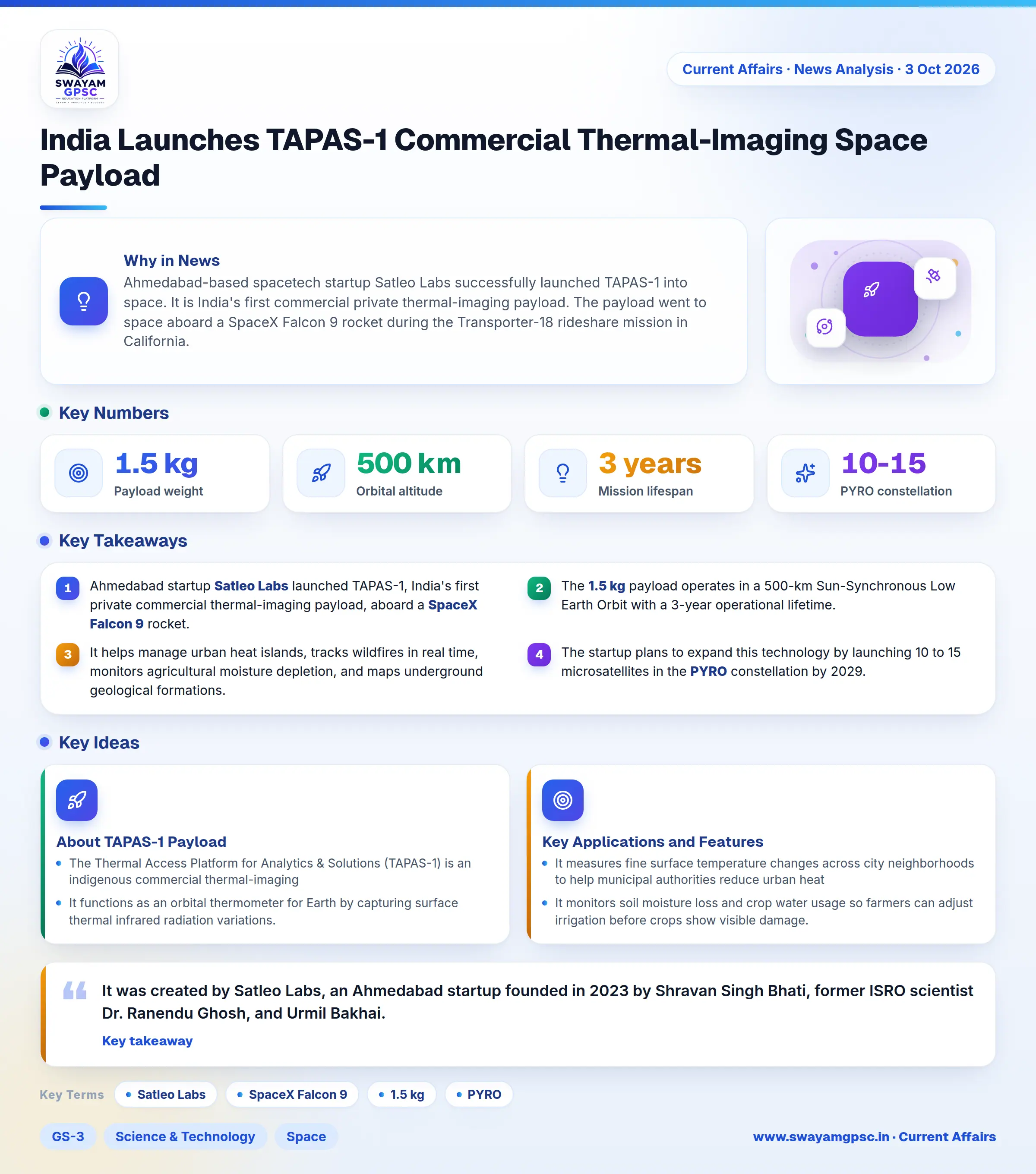
India Launches TAPAS-1 Commercial Thermal-Imaging Space Payload
#GS-3 #Science & Technology #Space #Current Events #National #Gujarat
Key takeaways
- Ahmedabad startup Satleo Labs launched TAPAS-1, India's first private commercial thermal-imaging payload, aboard a SpaceX Falcon 9 rocket.
- The 1.5 kg payload operates in a 500-km Sun-Synchronous Low Earth Orbit with a 3-year operational lifetime.
- It helps manage urban heat islands, tracks wildfires in real time, monitors agricultural moisture depletion, and maps underground geological formations.
- The startup plans to expand this technology by launching 10 to 15 microsatellites in the PYRO constellation by 2029.
Why in News
- Ahmedabad-based spacetech startup Satleo Labs successfully launched TAPAS-1 into space.
- It is India's first commercial private thermal-imaging payload.
- The payload went to space aboard a SpaceX Falcon 9 rocket during the Transporter-18 rideshare mission in California.
About TAPAS-1 Payload
- The Thermal Access Platform for Analytics & Solutions (TAPAS-1) is an indigenous commercial thermal-imaging nanosatellite payload that weighs 1.5 kg and features a modular CubeSat design.
- It functions as an orbital thermometer for Earth by capturing surface thermal infrared radiation variations.
- It was created by Satleo Labs, an Ahmedabad startup founded in 2023 by Shravan Singh Bhati, former ISRO scientist Dr. Ranendu Ghosh, and Urmil Bakhai.
- The payload reached space using a SpaceX Falcon 9 rocket that carried 130 satellites together in the Transporter-18 mission.
- It operates at an altitude of 500 km in a Sun-Synchronous Low Earth Orbit (LEO).
- The payload has a 3-year operational life, which will lead to TAPAS-2 and the PYRO constellation of 10 to 15 microsatellites by 2029.
- It aims to supply affordable, high-resolution thermal data to commercial, civic, and defense users without requiring dedicated ground equipment.
Key Applications and Features
- It measures fine surface temperature changes across city neighborhoods to help municipal authorities reduce urban heat stress.
- It monitors soil moisture loss and crop water usage so farmers can adjust irrigation before crops show visible damage.
- It detects underground fires, tracks forest fire boundaries through smoke, and locates industrial heat anomalies in real time.
- It uses thermal differences in ground material to reveal buried archaeological ruins, underground fault lines, and mineral deposits.
- It pairs thermal sensors with cloud machine learning to process raw measurements into practical sector insights.