Improving India's Inland Waterways and Navigation Systems
#GS-2 #Governance & Social Justice #GS-3 #Economy #Infrastructure #Current Events #National
Key takeaways
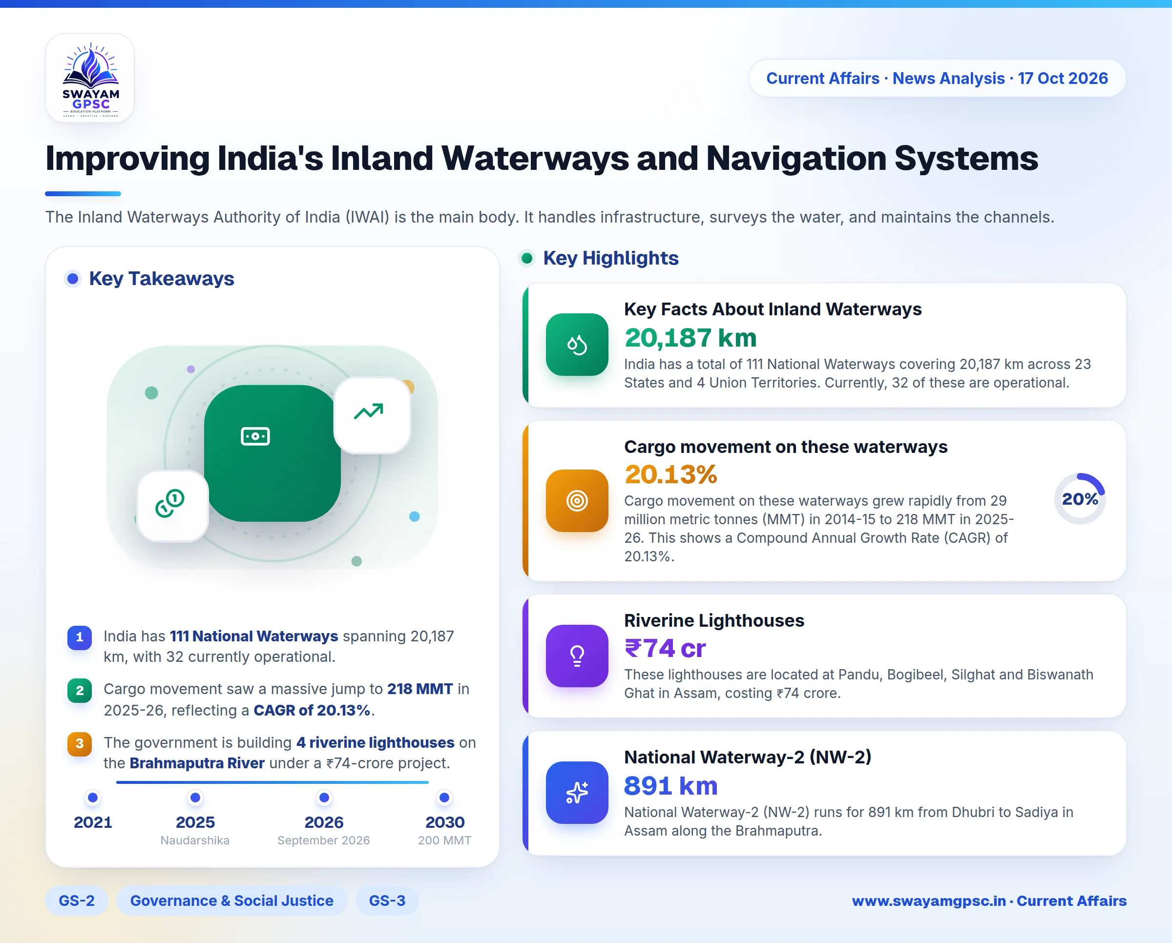
- India has 111 National Waterways spanning 20,187 km, with 32 currently operational.
- Cargo movement saw a massive jump to 218 MMT in 2025-26, reflecting a CAGR of 20.13%.
- The government is building 4 riverine lighthouses on the Brahmaputra River under a ₹74-crore project.
- New digital tools like the PANI Portal and Naudarshika (launched in 2025) provide real-time navigation and depth data.
- Water transport is highly cost-effective, costing only about one-third of road transport.
Why in News
- India is pushing hard to develop inland waterways as a cheaper and greener way to move goods. This move aims to build better multimodal connectivity and reduce the heavy load on roads and railways.
Key Facts About Inland Waterways
- India has a total of 111 National Waterways covering 20,187 km across 23 States and 4 Union Territories. Currently, 32 of these are operational.
- Cargo movement on these waterways grew rapidly from 29 million metric tonnes (MMT) in 2014-15 to 218 MMT in 2025-26. This shows a Compound Annual Growth Rate (CAGR) of 20.13%.
- This growth has already beaten the 200 MMT goal set by the Maritime India Vision 2030.
- Using water for transport is much cheaper: it costs about one-third of road transport and half of rail transport. It also produces fewer carbon emissions.
- The Inland Waterways Authority of India (IWAI) is the main body. It handles infrastructure, surveys the water, and maintains the channels.
Hydrographic Surveys for Safety
- Hydrography is the science of measuring water bodies. It looks at the river-bed structure, water depth, and flow direction to help ships navigate safely and protect the environment.
- The Inland Waterways Authority of India (IWAI) carries out these surveys to plan infrastructure and ensure safe dredging.
- Thalweg Surveys are used to find and track the deepest part of the river where ships can sail.
- Terminal and Jetty Surveys check the water depth near loading and unloading points.
- Dredging is the process of removing sand and mud from the river bed to keep the water deep enough for ships.
- By September 2026, regular thalweg surveys were active on 22 National Waterways and the Indian part of the Indo-Bangladesh Protocol Route. These happen weekly, fortnightly, or monthly.
- The Least Available Depth (LAD) is the minimum depth in a channel. This number is crucial because it decides how much cargo a ship can carry and when it can sail.
Safe Vessel Guidance Systems
- Aids to Navigation (AtoN) are external tools like markers or signals that guide ships and warn them of hazards. These are governed by the Marine Aids to Navigation Act, 2021.
- Buoys are floating markers that show the safe path and point out dangers.
- Radar Beacons (Racon) help ships find markers even when the weather is bad or visibility is low.
- Other tools include lighthouses, lightships, and beacon lamps.
- The Directorate General of Lighthouses and Lightships (DGLL) manages these aids along the coast and provides national training for these services.
- India follows global rules by signing the International Convention for the Safety of Life at Sea (SOLAS) and following International Organization for Marine Aids to Navigation (IALA) guidelines.
- For inland waters, the Inland Waterways Authority of India (IWAI) manages the AtoN systems.
- On National Waterway-3 in Kerala, the government has installed 312 solar-powered FRP buoys and 17 beacon lamp posts. This allows ships to move 24x7.
Riverine Lighthouses
- In March 2026, India started building its first four riverine lighthouses on the Brahmaputra River (National Waterway-2) to allow ships to move day and night.
- These lighthouses are located at Pandu, Bogibeel, Silghat and Biswanath Ghat in Assam, costing ₹74 crore.
- Each tower is 20 metres high. They can be seen from 14 nautical miles away, with a light range of 8-10 nautical miles.
- They use solar power and have weather sensors to keep navigation sustainable and safe.
- These sites also offer tourism facilities like museums, cafeterias, and parks for children.
- National Waterway-2 (NW-2) runs for 891 km from Dhubri to Sadiya in Assam along the Brahmaputra.
- Cargo on NW-2 rose from 0.90 MMT in FY 2024-25 to 1.29 MMT in FY 2025-26.
Digital Navigation and Real-Time Data
- Digital systems combine data on river depth, weather, and ship traffic to make transport safer and faster.
- Electronic Navigational Charts (ENCs) provide live updates to captains. By September 2026, these were ready for 18 waterways, a huge jump from only National Waterway-1 before 2014.
- The PANI Portal (Portal for Asset and Navigation Information) gives details on jetties, fairways, and emergency services.
- When used with the IWAI Vessel Tracker, it allows real-time tracking of ships and depth updates via apps.
- The Naudarshika system, launched in 2025, helps manage river traffic by giving live Least Available Depth (LAD) info.
- River Information Services (RIS) use sensors and communication tools to link ships with control centres.
- On NW-1 (Ganga), the RIS covers three areas: Haldia-Farakka, Farakka-Patna and Patna-Varanasi. It uses 4 control stations and 13 base stations.
- This system uses Automatic Identification System (AIS) and VHF communication. 30 government ships already have these consoles installed.
Conclusion
- India's inland waterways are becoming a modern, green, and cheap transport network. By using digital tools and better surveys, India will improve its logistics and make 24-hour navigation safe.