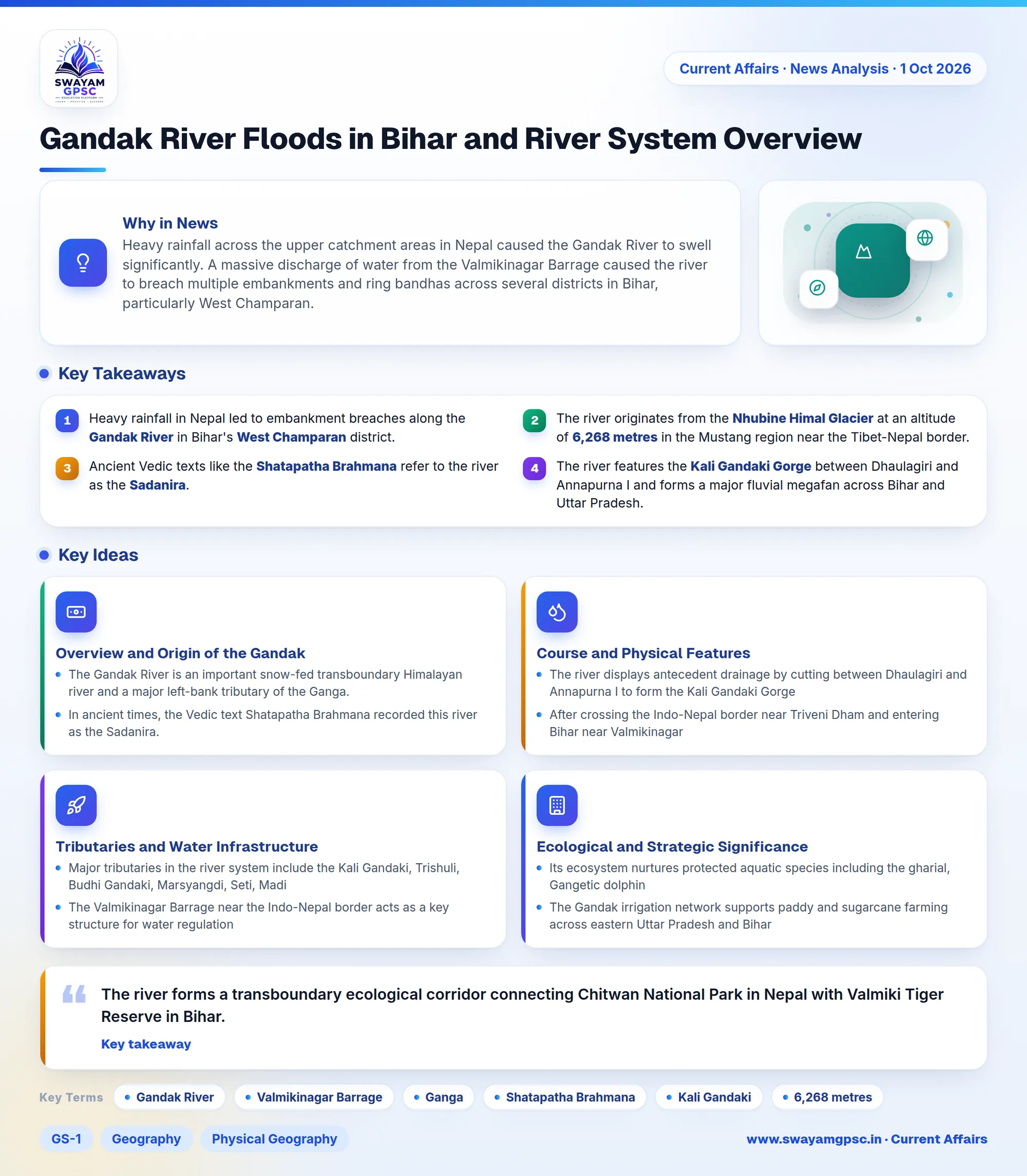
Gandak River Floods in Bihar and River System Overview
#GS-1 #Geography #Physical Geography #GS-3 #Disaster Management #Environment #Biodiversity #Current Events #National #Rapid Fire CA #Quick Facts For Prelims
Key takeaways
- Heavy rainfall in Nepal led to embankment breaches along the Gandak River in Bihar's West Champaran district.
- The river originates from the Nhubine Himal Glacier at an altitude of 6,268 metres in the Mustang region near the Tibet-Nepal border.
- Ancient Vedic texts like the Shatapatha Brahmana refer to the river as the Sadanira.
- The river features the Kali Gandaki Gorge between Dhaulagiri and Annapurna I and forms a major fluvial megafan across Bihar and Uttar Pradesh.
- Key infrastructure includes the Valmikinagar Barrage, which regulates water for irrigation and connects the Valmiki Tiger Reserve with Chitwan National Park.
Why in News
- Heavy rainfall across the upper catchment areas in Nepal caused the Gandak River to swell significantly.
- A massive discharge of water from the Valmikinagar Barrage caused the river to breach multiple embankments and ring bandhas across several districts in Bihar, particularly West Champaran.
Overview and Origin of the Gandak River
- The Gandak River is an important snow-fed transboundary Himalayan river and a major left-bank tributary of the Ganga.
- In ancient times, the Vedic text Shatapatha Brahmana recorded this river as the Sadanira.
- Along its course, people call it the Kali Gandaki in its upper reaches, the Narayani or Sapt Gandaki in the Nepal plains, and the Gandak in India.
- The river originates near the Nepal-Tibet border at an elevation of roughly 6,268 metres from the Nhubine Himal Glacier in the Mustang region of the Nepal Himalayas.
Course and Physical Features
- The river displays antecedent drainage by cutting between Dhaulagiri and Annapurna I to form the Kali Gandaki Gorge, also known as Andha Galchi.
- After crossing the Indo-Nepal border near Triveni Dham and entering Bihar near Valmikinagar, it flows through the plains of Uttar Pradesh and Bihar.
- After leaving the Siwalik Hills, the sediment-heavy river deposits vast amounts of alluvium, forming an expansive fluvial megafan across eastern Uttar Pradesh and north-western Bihar.
- The river travels through north Bihar districts such as West Champaran before joining the Ganga near Hajipur-Sonepur (Harihar Kshetra) opposite Patna.
Tributaries and Water Infrastructure
- Major tributaries in the river system include the Kali Gandaki, Trishuli, Budhi Gandaki, Marsyangdi, Seti, Madi, and Daraudi.
- The Valmikinagar Barrage near the Indo-Nepal border acts as a key structure for water regulation, diverting water into eastern and western canal systems for irrigation and hydropower.
- During periods of intense monsoon rainfall, excessive inflows from the upper catchment in Nepal can force high downstream discharges through this barrage.
Ecological and Strategic Significance
- The river forms a transboundary ecological corridor connecting Chitwan National Park in Nepal with Valmiki Tiger Reserve in Bihar.
- Its ecosystem nurtures protected aquatic species including the gharial, Gangetic dolphin, and various freshwater turtles.
- The Gandak irrigation network supports paddy and sugarcane farming across eastern Uttar Pradesh and Bihar, while enriching the soil and recharging groundwater levels.
- Culturally, the Kali Gandaki bed is famous for sacred Shaligram fossils, and its confluence with the Ganga hosts the historic Sonepur Fair.
Challenges
- Glacial hazards like Glacial Lake Outburst Floods (GLOFs) in the Himalayan catchment pose recurring threats to downstream areas.
- Heavy sediment loads lead to natural channel siltation and aggradation, raising the riverbed level over time.
- Uncontrollable flood discharges during the monsoon lead to embankment breaches, channel instability, and severe agricultural destruction.