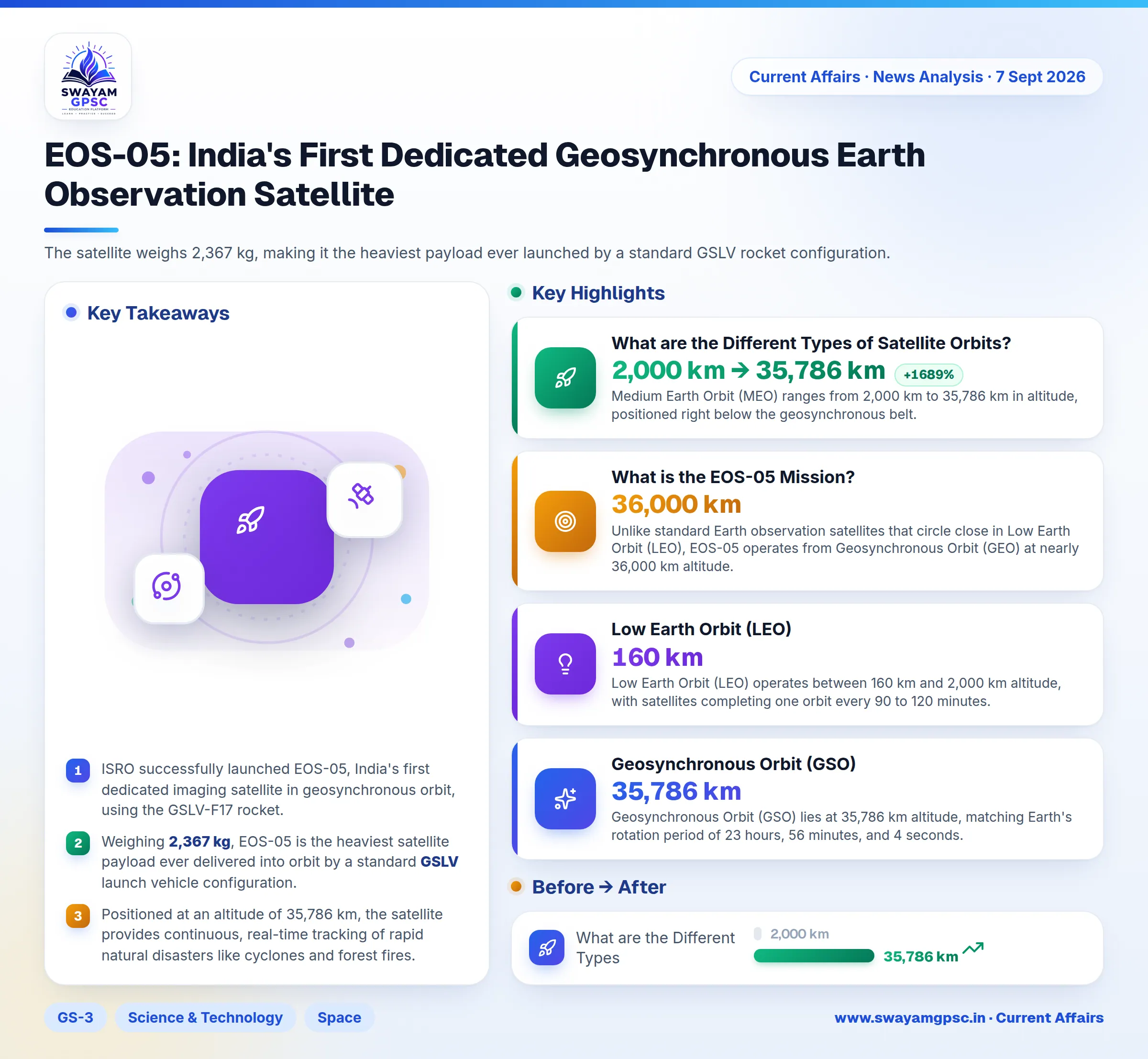
EOS-05: India's First Dedicated Geosynchronous Earth Observation Satellite
#GS-3 #Science & Technology #Space #Current Events #National #Disaster Management #Disaster Preparedness
Key takeaways
- ISRO successfully launched EOS-05, India's first dedicated imaging satellite in geosynchronous orbit, using the GSLV-F17 rocket.
- Weighing 2,367 kg, EOS-05 is the heaviest satellite payload ever delivered into orbit by a standard GSLV launch vehicle configuration.
- Positioned at an altitude of 35,786 km, the satellite provides continuous, real-time tracking of rapid natural disasters like cyclones and forest fires.
- Unlike the 15,500 active satellites in Low Earth Orbit, EOS-05 operates from Geostationary Orbit to deliver round-the-clock coverage over India without gaps.
Why in News?
- The Indian Space Research Organisation (ISRO) successfully launched the Earth Observation Satellite-05 (EOS-05) using the GSLV-F17 rocket from Sriharikota.
- This launch marks a critical achievement because EOS-05 is India's first dedicated imaging satellite stationed in a geosynchronous orbit.
What is the EOS-05 Mission?
- Nicknamed the Eye in the Sky, EOS-05 is an advanced satellite equipped with optical and infrared sensors for real-time land and ocean imaging.
- The satellite weighs 2,367 kg, making it the heaviest payload ever launched by a standard GSLV rocket configuration.
- The mission was executed by GSLV-F17, which marks the 19th operational flight of India's Geosynchronous Satellite Launch Vehicle.
- The GSLV is a three-stage launch vehicle featuring a solid engine with four liquid boosters, a liquid second stage, and a cryogenic upper stage (CUS).
- Unlike standard Earth observation satellites that circle close in Low Earth Orbit (LEO), EOS-05 operates from Geosynchronous Orbit (GEO) at nearly 36,000 km altitude.
- The GSLV-F17 rocket injected the satellite into a Sub-Geosynchronous Transfer Orbit (Sub-GTO).
- The satellite will fire its onboard liquid apogee motor (LAM) several times to position itself over the Indian subcontinent.
- Satellites in LEO pass over a specific location for only a few minutes, leaving wide time gaps between image updates.
- Placing EOS-05 in GEO provides continuous persistence, allowing hourly tracking of rapidly evolving disasters like cyclones, cloudbursts, flash floods, and forest fires.
What are the Different Types of Satellite Orbits?
- According to the European Space Agency (ESA), an orbit is the curved path an object takes around another body due to gravity.
- Low Earth Orbit (LEO) operates between 160 km and 2,000 km altitude, with satellites completing one orbit every 90 to 120 minutes.
- Because LEO sits close to Earth, it offers low signal delay, making it ideal for the International Space Station (ISS) and high-resolution imaging.
- Subsets of LEO include Sun-Synchronous Orbits (SSO) for consistent lighting and Very Low Earth Orbit (VLEO) for ultra-sharp pictures.
- By late 2026, more than 15,500 active satellites operated in LEO, with 22 operational satellites belonging to India.
- Medium Earth Orbit (MEO) ranges from 2,000 km to 35,786 km in altitude, positioned right below the geosynchronous belt.
- MEO balances low signal delay with broad geographic coverage on the ground.
- Most navigation constellations operate in MEO, including the US GPS network and the European Union's Galileo constellation with 30 satellites.
- Geosynchronous Orbit (GSO) lies at 35,786 km altitude, matching Earth's rotation period of 23 hours, 56 minutes, and 4 seconds.
- When a geosynchronous orbit sits directly over the equator with zero-degree tilt, it is called a Geostationary Orbit (GEO).
- To a person standing on the ground, a GEO satellite appears completely fixed at one spot in the sky.
- A single GEO satellite sees nearly one-third of the planet, meaning three evenly spaced satellites can cover almost the entire Earth.
Frequently Asked Questions
- EOS-05 enables continuous monitoring for disaster response, border watch, forest fire detection, and crop monitoring from space.
- A geosynchronous satellite matches Earth's rotation period, while a geostationary satellite is a special zero-inclination version that stays fixed over the equator.
- Key applications of EOS-05 include monitoring natural disasters, tracking maritime activity, spotting forest fires, and assessing crop health.
- The GSLV uses three stages including solid, liquid, and indigenous cryogenic propulsion to lift heavy payloads into high orbits.
- Continuous satellite observation provides real-time warnings, helping authorities respond quickly to natural disasters and security threats.