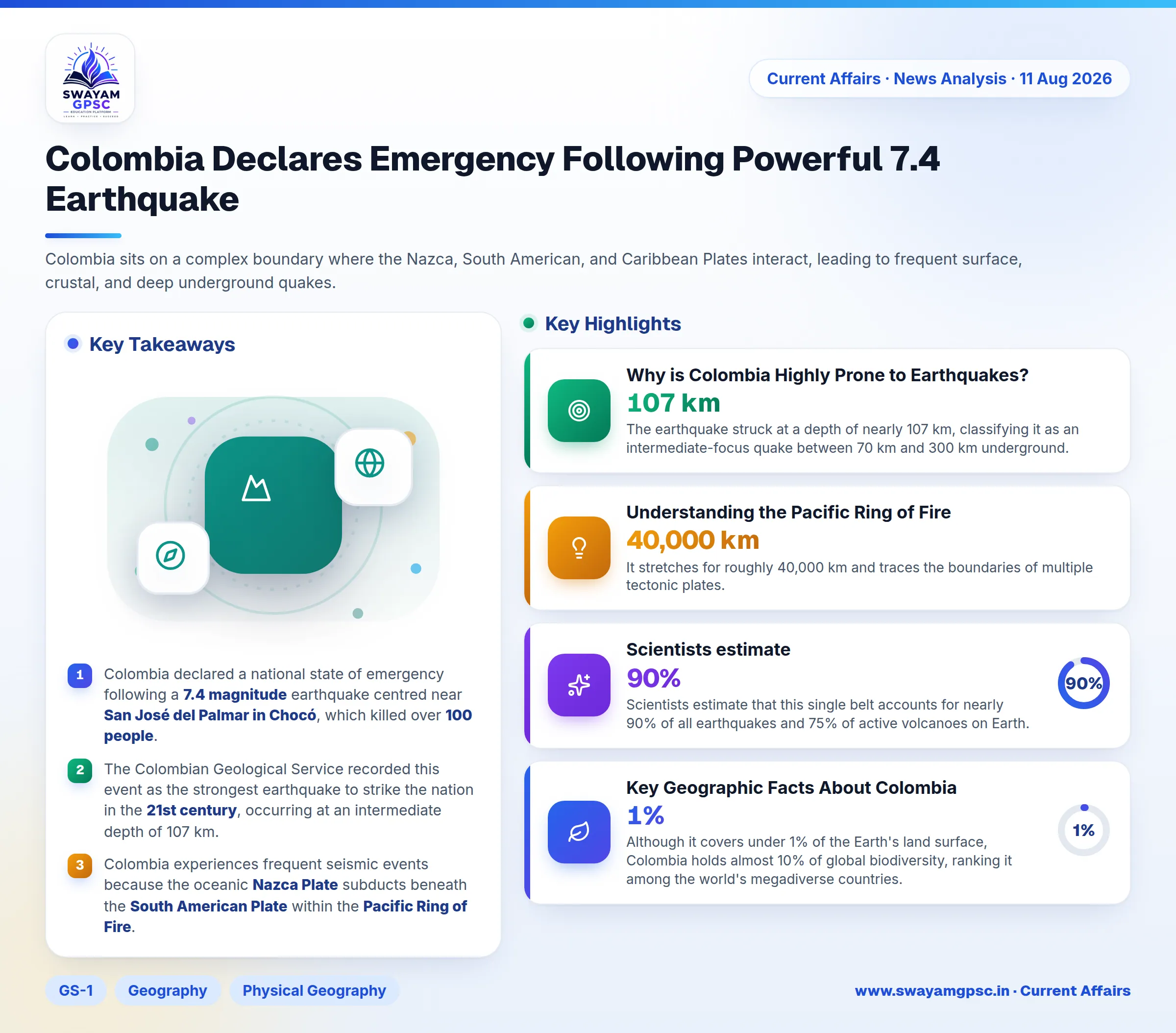
Colombia Declares Emergency Following Powerful 7.4 Earthquake
#GS-1 #Geography #Physical Geography #World Geography #GS-3 #Disaster Management #Current Events #International
Key takeaways
- Colombia declared a national state of emergency following a 7.4 magnitude earthquake centred near San José del Palmar in Chocó, which killed over 100 people.
- The Colombian Geological Service recorded this event as the strongest earthquake to strike the nation in the 21st century, occurring at an intermediate depth of 107 km.
- Colombia experiences frequent seismic events because the oceanic Nazca Plate subducts beneath the South American Plate within the Pacific Ring of Fire.
- The Pacific Ring of Fire spans 40,000 km and accounts for 90% of global earthquakes and 75% of active volcanoes worldwide.
Why in News
- Colombia has announced a national state of emergency after a powerful 7.4 magnitude earthquake hit the western region, killing over 100 people and injuring many others.
- The epicenter was located near San José del Palmar in the Chocó department, making it the strongest quake in Colombia during the 21st century.
Why is Colombia Highly Prone to Earthquakes?
- The oceanic Nazca Plate constantly moves toward and slides beneath the South American Plate along the Pacific coast of Colombia, building up massive pressure in the Earth's crust.
- Colombia sits on a complex boundary where the Nazca, South American, and Caribbean Plates interact, leading to frequent surface, crustal, and deep underground quakes.
- The country lies directly on the Pacific Ring of Fire, a region known for extreme tectonic strain and active volcanic networks.
- Ongoing tectonic collisions have pushed up the Andes mountain range, creating numerous active geological faults across western and central Colombia.
- The earthquake struck at a depth of nearly 107 km, classifying it as an intermediate-focus quake between 70 km and 300 km underground.
- Densely populated urban centers like Cali, Bogotá, Medellín, Pereira, and Manizales sit close to major fault lines, raising overall disaster risk.
- Movement along one active fault can transfer pressure to nearby fault lines, although confirming direct triggers requires detailed scientific analysis.
Understanding the Pacific Ring of Fire
- The Pacific Ring of Fire, also known as the Circum-Pacific Belt, is a horseshoe-shaped area around the Pacific Ocean famous for intense earthquake and volcanic activity.
- It stretches for roughly 40,000 km and traces the boundaries of multiple tectonic plates.
- Scientists estimate that this single belt accounts for nearly 90% of all earthquakes and 75% of active volcanoes on Earth.
- It involves active boundaries of major plates like the Pacific, Nazca, Cocos, Juan de Fuca, North American, Philippine, and Indo-Australian Plates.
- The belt runs along the western coastlines of North and South America, through Alaska and East Asia, stretching down toward New Zealand.
- Prominent countries in this belt include Chile, Peru, Ecuador, Colombia, Mexico, the United States, Canada, Russia, Japan, the Philippines, Indonesia, Papua New Guinea, and New Zealand.
- Volcanic activity occurs along the belt because one tectonic plate sinks beneath another, melting rock in the mantle to form rising magma.
- Earthquakes happen frequently as tectonic plates collide, slide, and release accumulated energy suddenly along fault boundaries.
Key Geographic Facts About Colombia
- Colombia is unique in South America as the only nation touching both the Pacific Ocean and the Caribbean Sea.
- The country features extensive tropical grasslands in its eastern region known as Los Llanos, which belong to the Orinoco river basin.
- Although it covers under 1% of the Earth's land surface, Colombia holds almost 10% of global biodiversity, ranking it among the world's megadiverse countries.
- Colombia remains a central hub for coca cultivation and cocaine production, making it a key origin point for international drug trafficking networks.
Technical Details of the 2026 Earthquake
- The August 2026 earthquake registered a high magnitude of 7.4 on the Richter scale.
- Seismic monitoring agencies estimated the focal depth between 103 km and 107 km beneath the surface.
- Seismologists classified it as an intermediate-depth earthquake because its focus lay within the 70 km to 300 km depth range.
- Tectonic activity along the subduction zone of the oceanic Nazca Plate underneath the South American Plate generated the event.
- This earthquake reinforces Colombia's position as an active seismic area along the Pacific Ring of Fire.