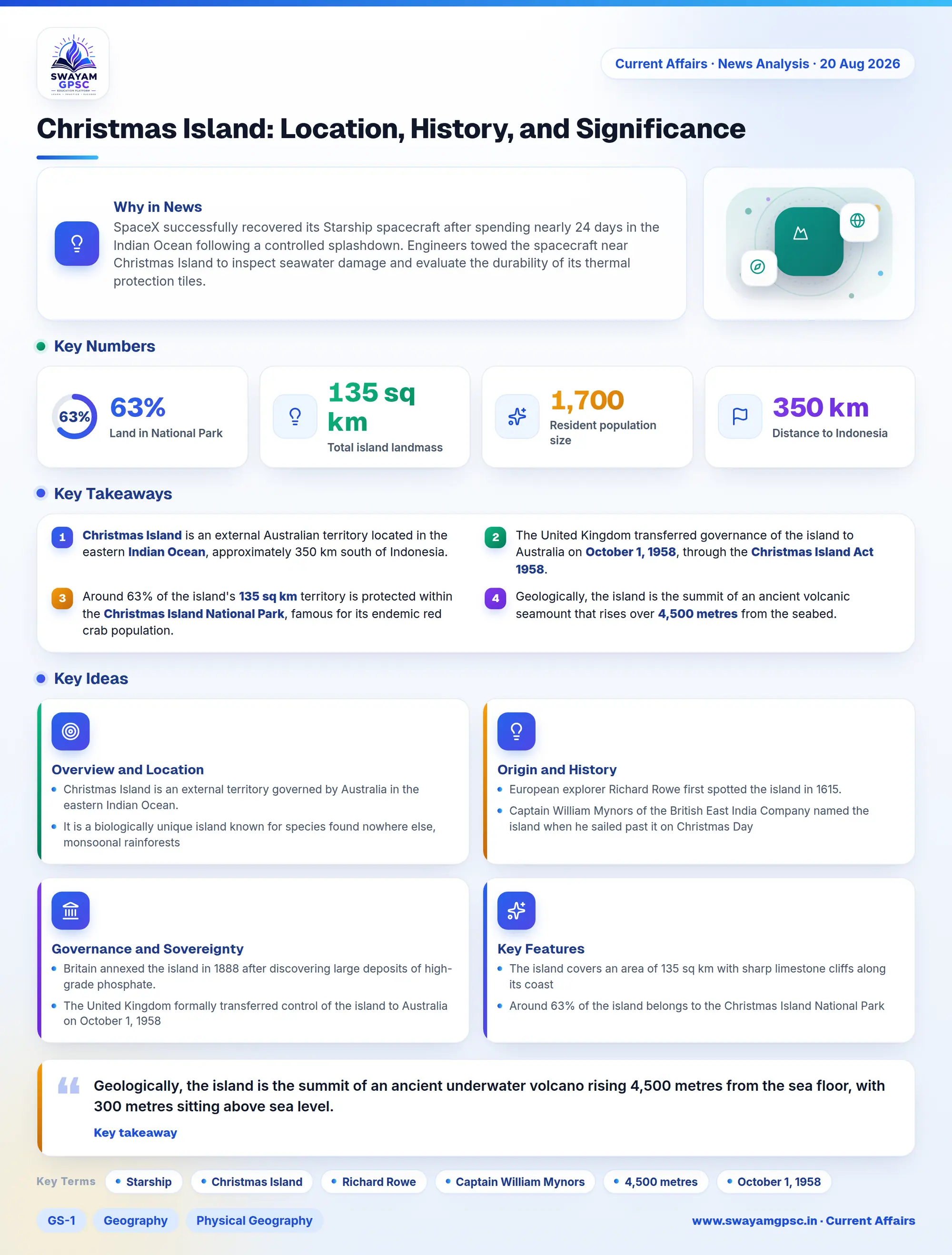
Christmas Island: Location, History, and Significance
#GS-1 #Geography #Physical Geography #GS-2 #Current Events #International #Mapping #Christmas Island #Indian Ocean
Key takeaways
- Christmas Island is an external Australian territory located in the eastern Indian Ocean, approximately 350 km south of Indonesia.
- The United Kingdom transferred governance of the island to Australia on October 1, 1958, through the Christmas Island Act 1958.
- Around 63% of the island's 135 sq km territory is protected within the Christmas Island National Park, famous for its endemic red crab population.
- Geologically, the island is the summit of an ancient volcanic seamount that rises over 4,500 metres from the seabed.
Why in News
- SpaceX successfully recovered its Starship spacecraft after spending nearly 24 days in the Indian Ocean following a controlled splashdown.
- Engineers towed the spacecraft near Christmas Island to inspect seawater damage and evaluate the durability of its thermal protection tiles.
Overview and Location
- Christmas Island is an external territory governed by Australia in the eastern Indian Ocean.
- It is a biologically unique island known for species found nowhere else, monsoonal rainforests, and rich phosphate deposits.
- The island is located about 350 km south of Java and Sumatra in Indonesia and roughly 1,550 km northwest of mainland Australia.
Origin and History
- European explorer Richard Rowe first spotted the island in 1615.
- Captain William Mynors of the British East India Company named the island when he sailed past it on Christmas Day in 1643.
- Geologically, the island is the summit of an ancient underwater volcano rising 4,500 metres from the sea floor, with 300 metres sitting above sea level.
Governance and Sovereignty
- Britain annexed the island in 1888 after discovering large deposits of high-grade phosphate.
- The United Kingdom formally transferred control of the island to Australia on October 1, 1958, through the Christmas Island Act 1958.
- Today, the Australian Government governs it alongside the Cocos (Keeling) Islands under a single resident Administrator.
Key Features
- The island covers an area of 135 sq km with sharp limestone cliffs along its coast, reaching its highest point at Murray Hill.
- Around 63% of the island belongs to the Christmas Island National Park, which protects tropical rainforests and famous red crab migrations.
- The local population of about 1,700 residents includes people of Chinese, Malay, and European heritage.
- Australia established a massive Marine Park in 2022 around the island to protect coral reefs and fish species like bluefin tuna.