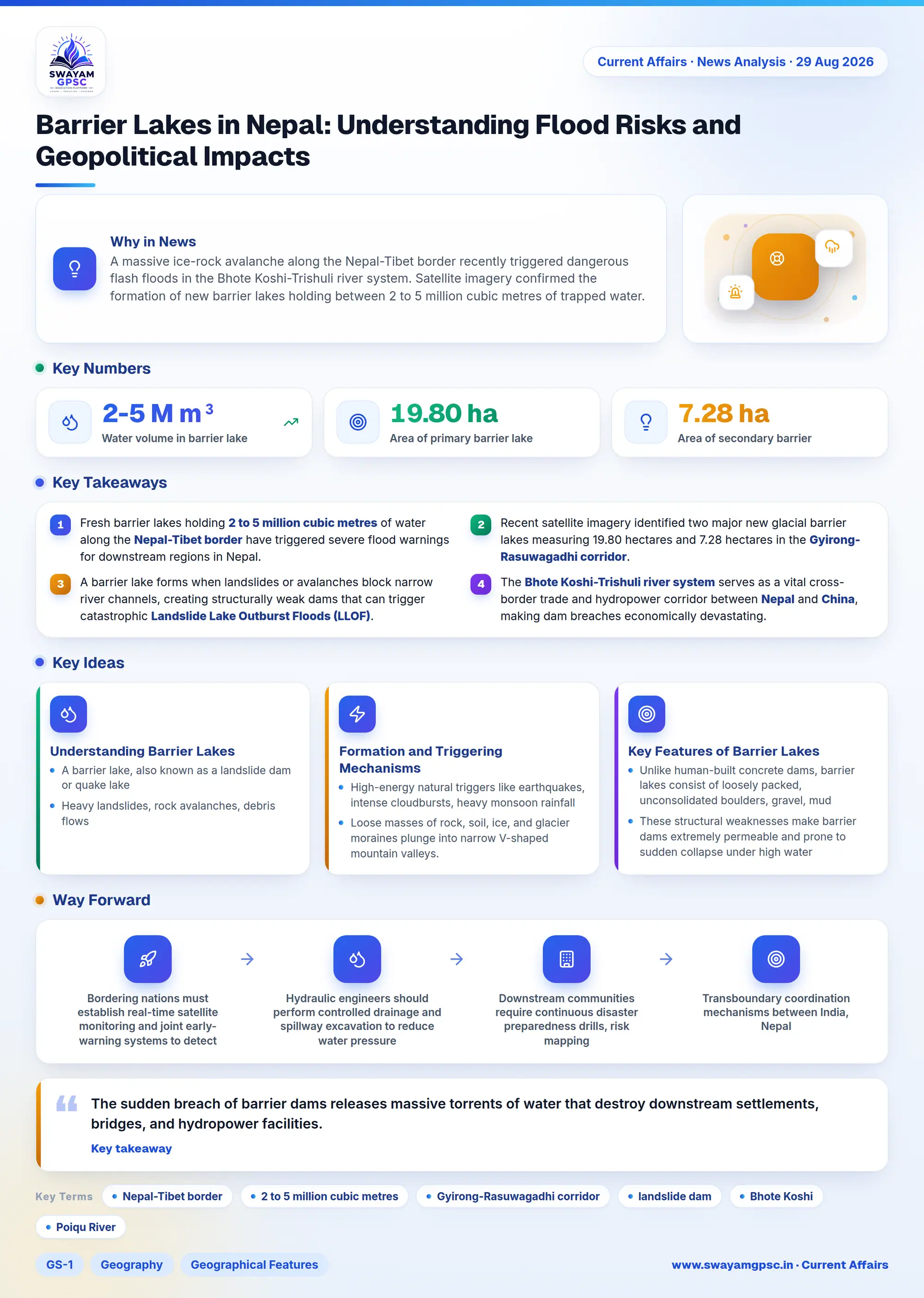
Barrier Lakes in Nepal: Understanding Flood Risks and Geopolitical Impacts
#GS-1 #Geography #Geographical Features #GS-3 #Disaster Management #Landslide Lake Outburst Flood #Barrier Lakes #Nepal Floods
Key takeaways
- Fresh barrier lakes holding 2 to 5 million cubic metres of water along the Nepal-Tibet border have triggered severe flood warnings for downstream regions in Nepal.
- Recent satellite imagery identified two major new glacial barrier lakes measuring 19.80 hectares and 7.28 hectares in the Gyirong-Rasuwagadhi corridor.
- A barrier lake forms when landslides or avalanches block narrow river channels, creating structurally weak dams that can trigger catastrophic Landslide Lake Outburst Floods (LLOF).
- The Bhote Koshi-Trishuli river system serves as a vital cross-border trade and hydropower corridor between Nepal and China, making dam breaches economically devastating.
Why in News
- A massive ice-rock avalanche along the Nepal-Tibet border recently triggered dangerous flash floods in the Bhote Koshi-Trishuli river system.
- Satellite imagery confirmed the formation of new barrier lakes holding between 2 to 5 million cubic metres of trapped water.
- These temporary natural dams now threaten downstream regions with sudden Landslide Lake Outburst Floods (LLOF).
- Rescue operations and cross-border trade along the critical Gyirong-Rasuwagadhi corridor have faced major disruptions.
Understanding Barrier Lakes
- A barrier lake, also known as a landslide dam or quake lake, is a temporary body of water created by natural blockages.
- Heavy landslides, rock avalanches, debris flows, or collapsing glaciers can tumble down steep slopes and completely choke a river valley.
- Because these blockages lack engineered outlets, incoming stream water backs up rapidly and forms a deep temporary reservoir upstream.
Formation and Triggering Mechanisms
- High-energy natural triggers like earthquakes, intense cloudbursts, heavy monsoon rainfall, or glacier collapses destabilize mountain slopes.
- Loose masses of rock, soil, ice, and glacier moraines plunge into narrow V-shaped mountain valleys.
- The accumulated debris chokes the active riverbed, creating an uncompacted and un-engineered natural barrier across the watercourse.
- Incoming river currents continue to accumulate behind the rubble wall, leading to severe upstream flooding that submerges surrounding land.
Key Features of Barrier Lakes
- Unlike human-built concrete dams, barrier lakes consist of loosely packed, unconsolidated boulders, gravel, mud, and ice.
- These structural weaknesses make barrier dams extremely permeable and prone to sudden collapse under high water pressure.
- Failure usually happens through overtopping, where rising water flows over the dam crest, or through internal seeping known as piping failure.
- The lifespan of a barrier lake varies greatly, lasting anywhere from a few hours to several months or decades.
- Barrier lakes present a dual threat by first causing slow upstream backflooding and later unleashing catastrophic downstream outburst floods.
Comparison Between LLOF and GLOF
- A Landslide Lake Outburst Flood (LLOF) occurs when a dam created specifically by landslide debris or avalanches suddenly collapses.
- In contrast, a Glacial Lake Outburst Flood (GLOF) happens when water dammed by a retreating glacier or terminal moraine breaches its limits.
- Both events release millions of cubic metres of trapped water and heavy debris in minutes, causing extreme destruction downstream.
Bhote Koshi - Trishuli River System
- The Bhote Koshi is an upper river course of the Sun Kosi River, which forms a major part of the larger Koshi River basin.
- Originating in Tibet as the Poiqu River, the Bhote Koshi flows steeply through the Himalayas into Nepal and is highly prone to flash floods.
- The Trishuli River is a major transboundary river within the Narayani (Gandaki) river system, originating in Tibet and flowing south into central Nepal.
- The border region near Rasuwagadhi-Gyirong serves as a vital strategic, trade, and hydropower corridor between Nepal and China.
Challenges and Impacts
- The sudden breach of barrier dams releases massive torrents of water that destroy downstream settlements, bridges, and hydropower facilities.
- Floodwaters alter natural river courses and trigger secondary landslides along destabilized mountain slopes.
- Cross-border river flooding complicates local disaster management and creates significant diplomatic and administrative hurdles.
- Trapped floodwaters inside barrier lakes interrupt immediate search, rescue, and relief operations in remote border corridors.
Way Forward
- Bordering nations must establish real-time satellite monitoring and joint early-warning systems to detect hazardous barrier lakes early.
- Hydraulic engineers should perform controlled drainage and spillway excavation to reduce water pressure behind temporary dams safely.
- Downstream communities require continuous disaster preparedness drills, risk mapping, and resilient infrastructure planning.
- Transboundary coordination mechanisms between India, Nepal, and China must be strengthened to handle shared Himalayan hydrological threats.