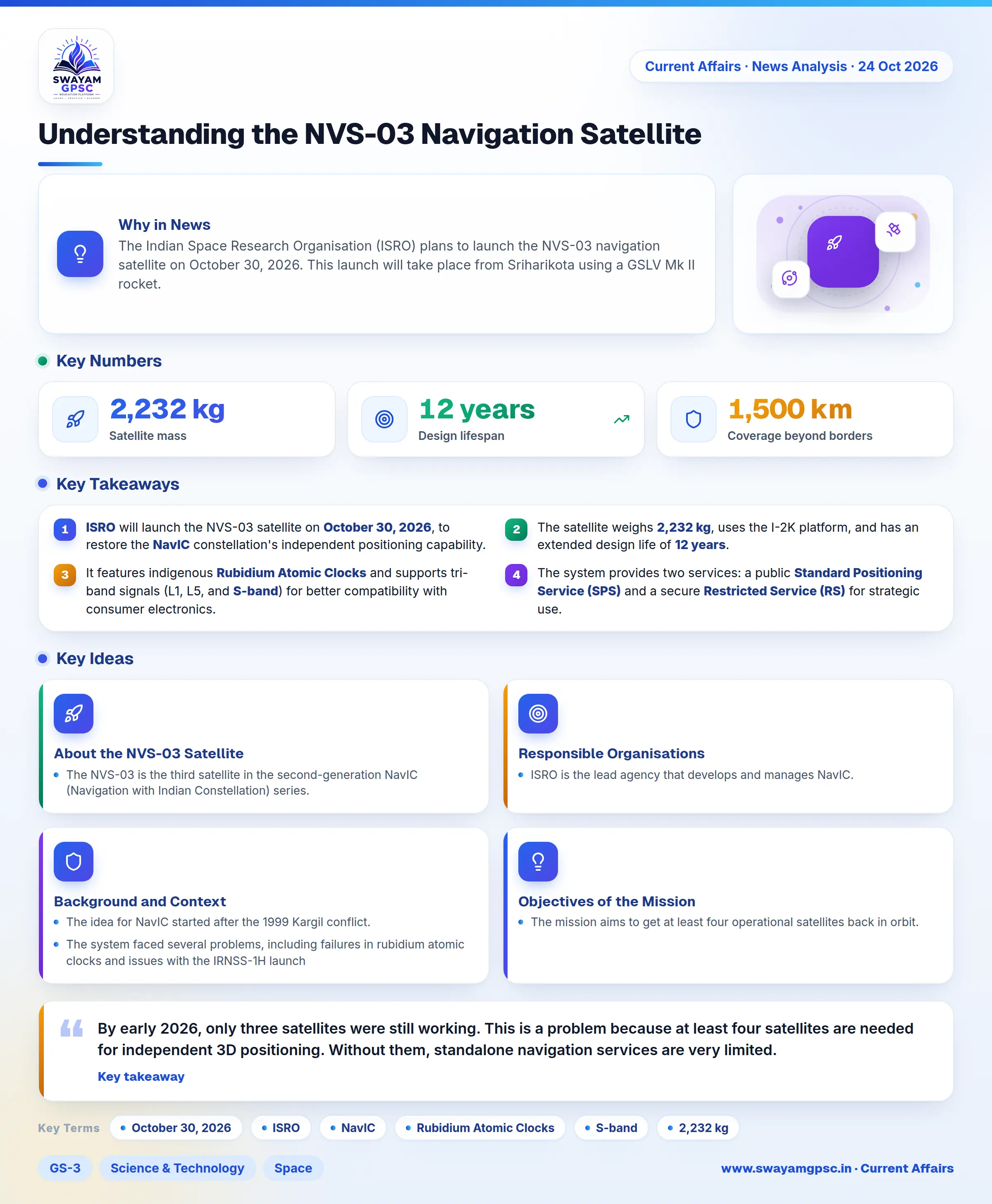
Understanding the NVS-03 Navigation Satellite
#GS-3 #Science & Technology #Space #Current Events #National #Prelims
Key takeaways
- ISRO will launch the NVS-03 satellite on October 30, 2026, to restore the NavIC constellation's independent positioning capability.
- The satellite weighs 2,232 kg, uses the I-2K platform, and has an extended design life of 12 years.
- It features indigenous Rubidium Atomic Clocks and supports tri-band signals (L1, L5, and S-band) for better compatibility with consumer electronics.
- The system provides two services: a public Standard Positioning Service (SPS) and a secure Restricted Service (RS) for strategic use.
- NavIC covers India and a region extending 1,500 km beyond its borders.
Why in News
- The Indian Space Research Organisation (ISRO) plans to launch the NVS-03 navigation satellite on October 30, 2026. This launch will take place from Sriharikota using a GSLV Mk II rocket.
About the NVS-03 Satellite
- The NVS-03 is the third satellite in the second-generation NavIC (Navigation with Indian Constellation) series. Its main goal is to replace old first-generation IRNSS satellites, improve signal reach, and bring back India's own independent positioning system.
Responsible Organisations
- ISRO is the lead agency that develops and manages NavIC. Specifically, the Space Applications Centre (SAC) in Ahmedabad builds the navigation payloads, while the U.R. Rao Satellite Centre (URSC) in Bengaluru builds the satellite platforms.
Background and Context
- The idea for NavIC started after the 1999 Kargil conflict. It was designed as a regional system with seven satellites to cover India and an area about 1,500 km beyond its borders.
- The system faced several problems, including failures in rubidium atomic clocks and issues with the IRNSS-1H launch and NVS-02 propulsion. These failures made the network less reliable.
- By early 2026, only three satellites were still working. This is a problem because at least four satellites are needed for independent 3D positioning. Without them, standalone navigation services are very limited.
Objectives of the Mission
- The mission aims to get at least four operational satellites back in orbit. This will restore NavIC's independent positioning ability, ensure India's navigation sovereignty, and make the system work better with common gadgets like smartphones.
Key Technical Features
- The satellite uses indigenous Rubidium Atomic Clocks made by SAC. These ensure very precise timing and stop India from relying on imported parts, solving the reliability issues of older satellites.
- It sends signals on three bands: L1, L5, and S-band. This makes it compatible with smartwatches, smartphones, and IoT devices for both civilian and military use.
- It is built on the I-2K satellite platform and weighs about 2,232 kg. It is designed to last for 12 years, which is longer than previous satellites.
- The satellite offers two types of services: the Standard Positioning Service (SPS) for the general public and the encrypted Restricted Service (RS) for defense and strategic use.
- It uses a mix of geostationary and inclined geosynchronous orbits. This ensures that the satellites are always visible over India, providing strong regional coverage.
Practical Applications
- It helps in navigating aircraft and tracking ships in Indian waters. This makes regional transport more efficient and safer.
- The system allows for real-time tracking of trains, locomotives, and commercial trucks. This helps in better fleet management and logistics.
- It can send out warnings for cyclones and tsunamis. This is life-saving for emergency agencies and fishermen working in the deep sea.
- Because it supports the L1-band, it allows location-based services to work on smartphones and IoT devices, encouraging more people to use the system.