Understanding the Long-Standing India-Nepal Border Dispute
#GS-2 #Current Events #International #Economy #Infrastructure
Key takeaways
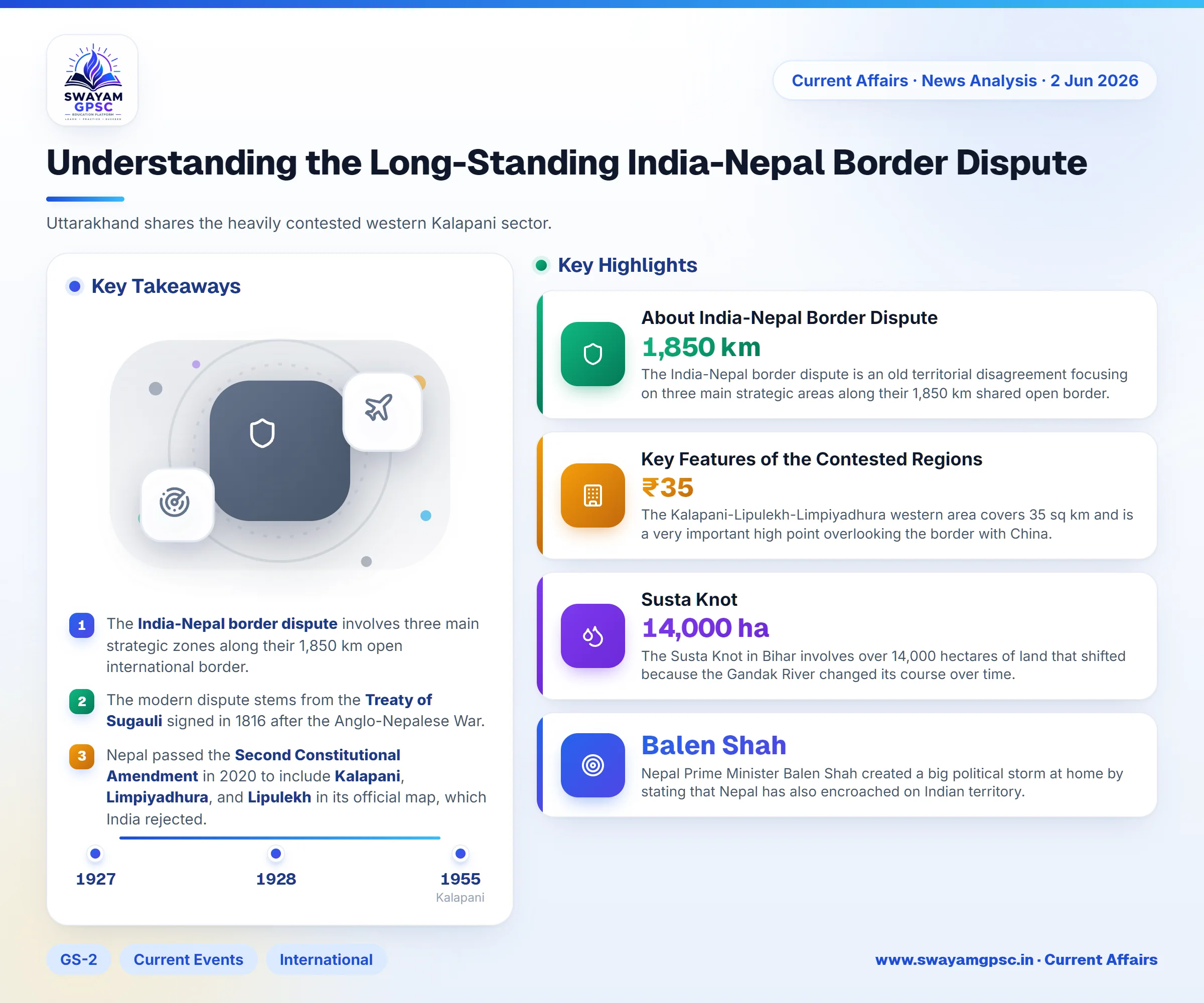
- The India-Nepal border dispute involves three main strategic zones along their 1,850 km open international border.
- The modern dispute stems from the Treaty of Sugauli signed in 1816 after the Anglo-Nepalese War.
- Nepal passed the Second Constitutional Amendment in 2020 to include Kalapani, Limpiyadhura, and Lipulekh in its official map, which India rejected.
- India has maintained an ITBP post at Kalapani since 1955.
Why in News
- Nepal Prime Minister Balen Shah created a big political storm at home by stating that Nepal has also encroached on Indian territory.
- This statement challenges the traditional political story that Kathmandu has repeated for many years.
About India-Nepal Border Dispute
- The India-Nepal border dispute is an old territorial disagreement focusing on three main strategic areas along their 1,850 km shared open border.
- The core friction points are the Kalapani-Limpiyadhura-Lipulekh tri-junction in the west and Susta in the eastern river zone.
Indian Border States
- The open international boundary touches five Indian states, making exact marking very important for regional security.
- Uttarakhand shares the heavily contested western Kalapani sector.
- Uttar Pradesh shares a part of the long international boundary.
- Bihar shares the riverine Susta sector where land keeps changing sides.
- West Bengal and Sikkim also share borders with Nepal.
Historical Genesis of the Conflict
- The modern border layout and its problems come directly from agreements made during the colonial British era.
- The Treaty of Sugauli was signed in 1816 between the East India Company and the King of Nepal after Nepal lost the Anglo-Nepalese War.
- Article 5 of this treaty states that Nepal gives up all claims to lands lying west of the River Kali.
- However, the treaty did not include an official map or show where the river actually starts.
- Early Survey of India maps from 1850 and 1856 showed the Kali River starting from the Lipulekh Pass, which put the Kalapani region inside Nepal.
- A later topographic survey map published in 1879 moved the boundary line to the southern ridge, putting Kalapani on the Indian side.
- Surveys done between 1924 and 1927 under Nepali supervisors confirmed the 1879 line in maps made in 1928/29, which Nepal accepted at the time.
- Relations became very tense in 2020 when the Nepalese Parliament passed the Second Constitutional Amendment to add Kalapani, Limpiyadhura, and Lipulekh to their official map.
- India rejected this move as a one-sided and artificial expansion of territory.
Key Features of the Contested Regions
- The Kalapani-Lipulekh-Limpiyadhura western area covers 35 sq km and is a very important high point overlooking the border with China.
- India has kept an Indo-Tibetan Border Police (ITBP) post at Kalapani since 1955.
- India considers this area part of the Pithoragarh district in Uttarakhand, while Nepal claims it under the Darchula district.
- The border also runs through shifting river areas where international rules use the Fixed Boundary Principle.
- Rivers like the Mahakali and Gandak change their paths over the decades, causing large plots of land to move physically from one side to the other.
- The Susta Knot in Bihar involves over 14,000 hectares of land that shifted because the Gandak River changed its course over time.
Implications of Nepal Prime Minister Remarks
- These recent remarks challenged the old idea that only India was responsible for border encroachment, causing political trouble in Nepal.
- The clarification highlighted local farming and housing overlaps caused by shifting rivers and missing boundary pillars on both sides.