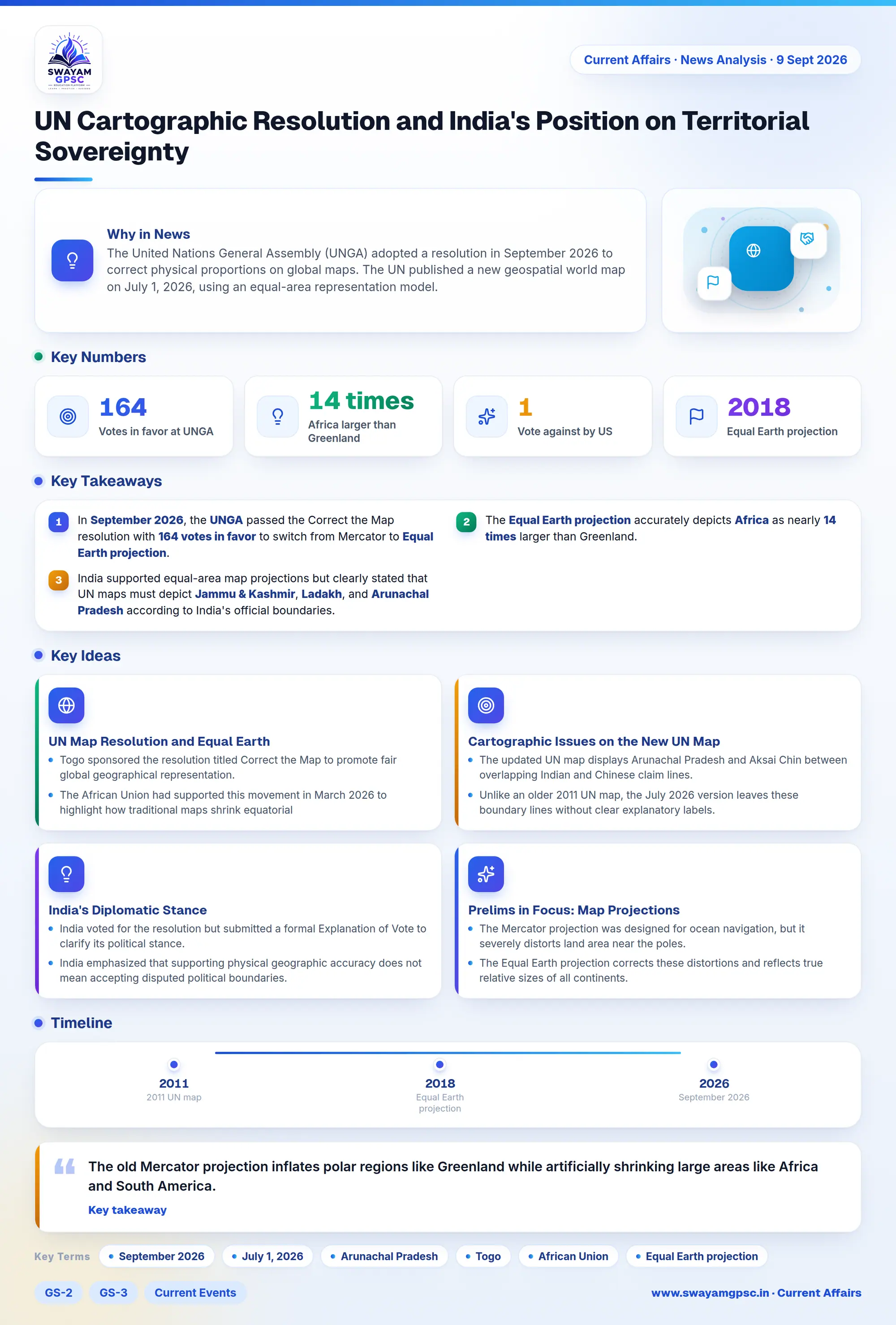
UN Cartographic Resolution and India's Position on Territorial Sovereignty
#GS-2 #GS-3 #Current Events #Geography #International #Physical Geography #Territorial Integrity #United Nations
Key takeaways
- In September 2026, the UNGA passed the Correct the Map resolution with 164 votes in favor to switch from Mercator to Equal Earth projection.
- The Equal Earth projection accurately depicts Africa as nearly 14 times larger than Greenland.
- India supported equal-area map projections but clearly stated that UN maps must depict Jammu & Kashmir, Ladakh, and Arunachal Pradesh according to India's official boundaries.
Why in News
- The United Nations General Assembly (UNGA) adopted a resolution in September 2026 to correct physical proportions on global maps.
- The UN published a new geospatial world map on July 1, 2026, using an equal-area representation model.
- This new map depicts Arunachal Pradesh and Aksai Chin with separate boundary lines representing Indian and Chinese claims.
- India's Ministry of External Affairs stated that physical map corrections must not compromise India's official territorial boundaries.
UN Map Resolution and Equal Earth Projection
- Togo sponsored the resolution titled Correct the Map to promote fair global geographical representation.
- The African Union had supported this movement in March 2026 to highlight how traditional maps shrink equatorial landmasses.
- The initiative aims to achieve cognitive justice by replacing the 16th-century Mercator projection created by Gerardus Mercator.
- The old Mercator projection inflates polar regions like Greenland while artificially shrinking large areas like Africa and South America.
- The resolution recommends the Equal Earth projection, which was introduced in 2018 to preserve accurate land sizes.
- Under the Equal Earth model, Africa appears nearly 14 times larger than Greenland, and Brazil appears 5 times larger than Alaska.
- The UNGA approved the resolution with 164 votes in favor, 1 vote against by the US, and 6 abstentions.
Cartographic Issues on the New UN Map
- The updated UN map displays Arunachal Pradesh and Aksai Chin between overlapping Indian and Chinese claim lines.
- Unlike an older 2011 UN map, the July 2026 version leaves these boundary lines without clear explanatory labels.
- The UN map includes a dotted line for the Line of Control (LoC) in Jammu & Kashmir but omits similar notes for eastern sectors.
- On a positive note, the map marks the Kalapani-Lipulekh-Limpiyadhura border area under actual Indian control.
India's Diplomatic Stance and Sovereign Position
- India voted for the resolution but submitted a formal Explanation of Vote to clarify its political stance.
- India emphasized that supporting physical geographic accuracy does not mean accepting disputed political boundaries.
- The foreign ministry reaffirmed that Arunachal Pradesh remains an integral and inalienable part of India.
- India maintains that Aksai Chin belongs to the Union Territory of Ladakh, despite current Chinese occupation.
- The government insists that all UN maps must show Jammu & Kashmir and Ladakh according to India's official maps.
Prelims in Focus: Map Projections and Disputed Boundaries
- The Mercator projection was designed for ocean navigation, but it severely distorts land area near the poles.
- The Equal Earth projection corrects these distortions and reflects true relative sizes of all continents.
- The Line of Control (LoC) forms the military control line between India and Pakistan in Jammu & Kashmir.
- The Kalapani-Lipulekh-Limpiyadhura region lies at the triconjunction of India, Nepal, and China under Indian administration.