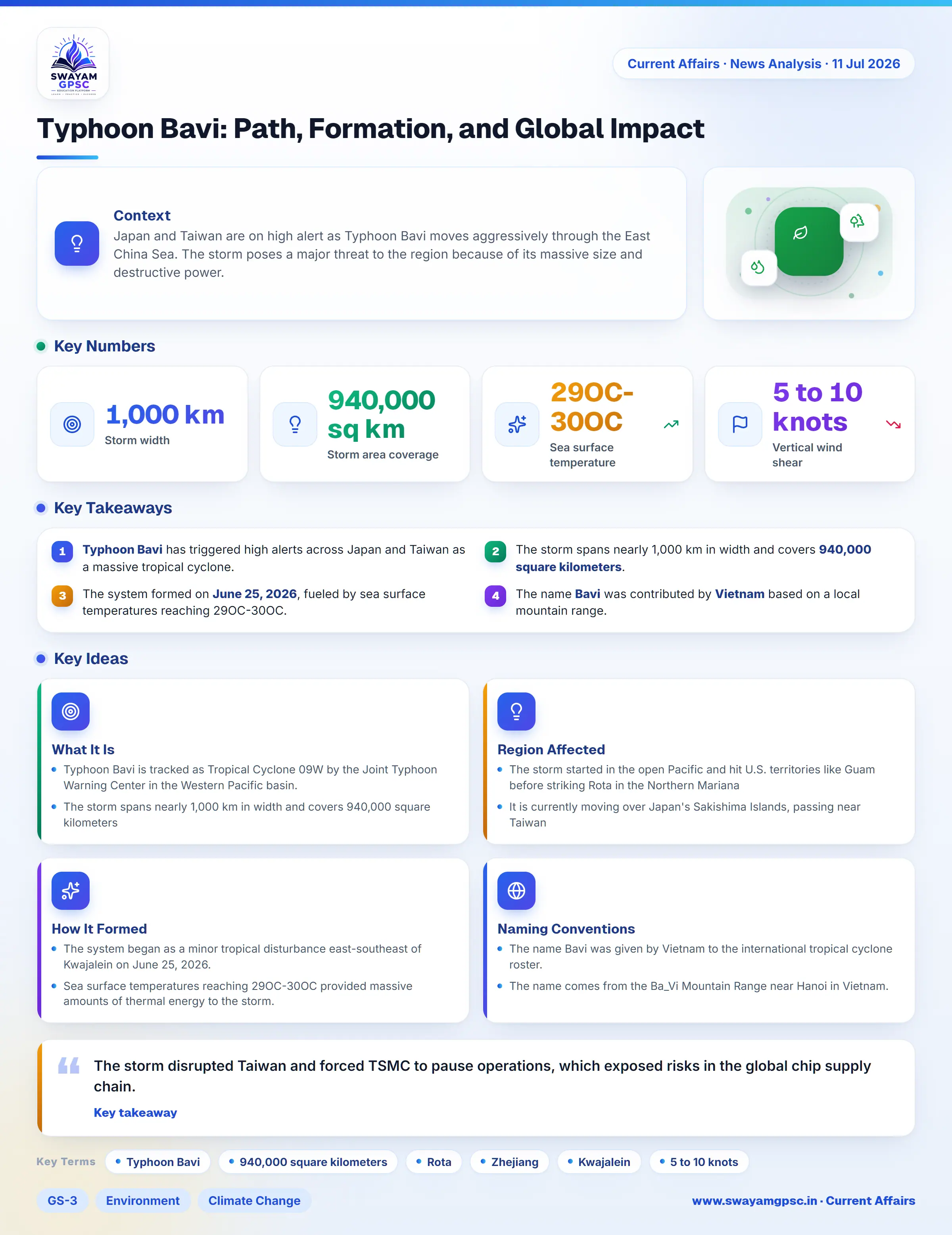
Typhoon Bavi: Path, Formation, and Global Impact
#GS-3 #Environment #Climate Change #Geography #Physical Geography #Current Events #International #Economy #Infrastructure
Key takeaways
- Typhoon Bavi has triggered high alerts across Japan and Taiwan as a massive tropical cyclone.
- The storm spans nearly 1,000 km in width and covers 940,000 square kilometers.
- The system formed on June 25, 2026, fueled by sea surface temperatures reaching 29OC-30OC.
- The name Bavi was contributed by Vietnam based on a local mountain range.
- The storm disrupted operations at TSMC, highlighting risks to global supply chains.
Context
- Japan and Taiwan are on high alert as Typhoon Bavi moves aggressively through the East China Sea.
- The storm poses a major threat to the region because of its massive size and destructive power.
What It Is
- Typhoon Bavi is tracked as Tropical Cyclone 09W by the Joint Typhoon Warning Center in the Western Pacific basin.
- The storm spans nearly 1,000 km in width and covers 940,000 square kilometers, making it one of the largest storms in decades.
Region Affected
- The storm started in the open Pacific and hit U.S. territories like Guam before striking Rota in the Northern Mariana Islands as a Category 5-equivalent cyclone.
- It is currently moving over Japan's Sakishima Islands, passing near Taiwan, and heading toward China's Zhejiang and Fujian provinces near Wenzhou and Shanghai.
How It Formed
- The system began as a minor tropical disturbance east-southeast of Kwajalein on June 25, 2026.
- Sea surface temperatures reaching 29OC-30OC provided massive amounts of thermal energy to the storm.
- Low vertical wind shear between 5 to 10 knots allowed the storm to grow vertically without breaking apart.
- High relative humidity in the middle atmosphere supported the rapid growth of the cyclone.
Naming Conventions
- The name Bavi was given by Vietnam to the international tropical cyclone roster.
- The name comes from the Ba_Vi Mountain Range near Hanoi in Vietnam.
- Storm names are managed and cycled by the World Meteorological Organization (WMO) Typhoon Committee.
Significance
- The storm disrupted Taiwan and forced TSMC to pause operations, which exposed risks in the global chip supply chain.
- Heavy rainfall and floods from the typhoon threaten major farming and industrial zones in Taiwan and eastern China.