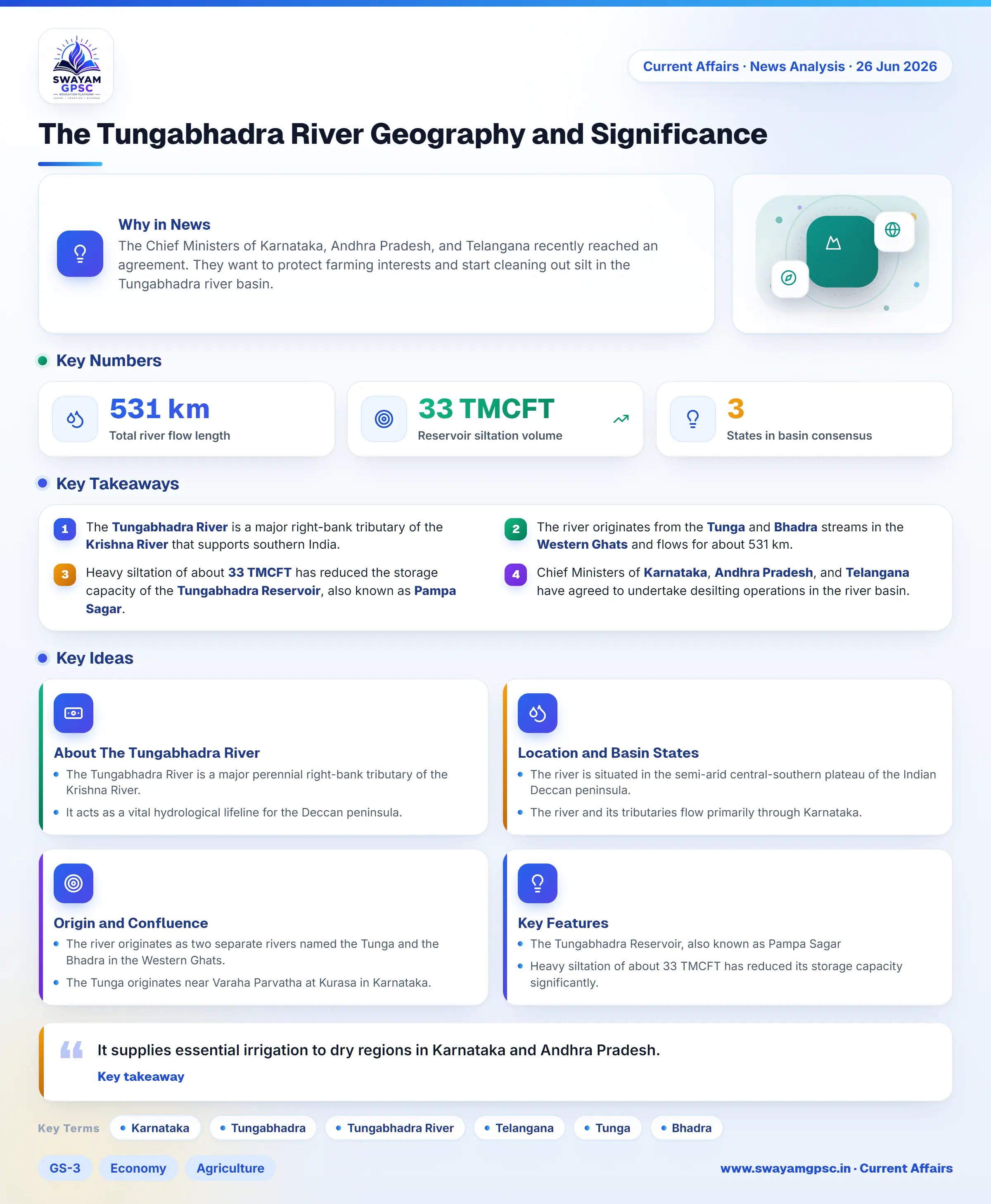
The Tungabhadra River Geography and Significance
#GS-3 #Economy #Agriculture #Infrastructure #Geography #Physical Geography #Resources #Environment #Biodiversity #Current Events #National #Gujarat #Karnataka #Andhra Pradesh #Telangana #Tungabhadra River
Key takeaways
- The Tungabhadra River is a major right-bank tributary of the Krishna River that supports southern India.
- The river originates from the Tunga and Bhadra streams in the Western Ghats and flows for about 531 km.
- Heavy siltation of about 33 TMCFT has reduced the storage capacity of the Tungabhadra Reservoir, also known as Pampa Sagar.
- Chief Ministers of Karnataka, Andhra Pradesh, and Telangana have agreed to undertake desilting operations in the river basin.
Why in News
- The Chief Ministers of Karnataka, Andhra Pradesh, and Telangana recently reached an agreement.
- They want to protect farming interests and start cleaning out silt in the Tungabhadra river basin.
About The Tungabhadra River
- The Tungabhadra River is a major perennial right-bank tributary of the Krishna River.
- It acts as a vital hydrological lifeline for the Deccan peninsula.
- It supports extensive agricultural networks, industrial clusters, and urban centers across southern India.
Location and Basin States
- The river is situated in the semi-arid central-southern plateau of the Indian Deccan peninsula.
- The river and its tributaries flow primarily through Karnataka.
- It then traces the border with Telangana before entering Andhra Pradesh to merge with the Krishna River.
Origin and Confluence
- The river originates as two separate rivers named the Tunga and the Bhadra in the Western Ghats.
- The Tunga originates near Varaha Parvatha at Kurasa in Karnataka.
- The Bhadra originates at Gangamoola near Kudremukh in the Chikkamagaluru district of Karnataka.
- The two streams flow independently eastward before merging at Kudli.
- Kudli is a village near Shivamogga city in Karnataka, where they officially create the single Tungabhadra River.
- After flowing roughly northeast for about 531 km, the river joins the Krishna River at Sangamaleshwaram in the Kurnool district of Andhra Pradesh.
Key Features
- The Tungabhadra Reservoir, also known as Pampa Sagar, is a major inter-state dam near Hosapete in Karnataka that regulates water sharing.
- Heavy siltation of about 33 TMCFT has reduced its storage capacity significantly.
- The Tunga flows through steep and fast-moving channels, while the Bhadra has a wider and gentler valley.
- Both rivers traverse ancient granitic and crystalline rocks.
- The basin forms a rich ecological corridor stretching from the evergreen Western Ghats to the dry Deccan plains.
- It supports wildlife species such as the smooth-coated otter and the Mugger crocodile.
- The river hosts centuries-old stone anicuts and irrigation canals built by the Vijayanagara Empire, and many remain functional today.
Significance
- It supplies essential irrigation to dry regions in Karnataka and Andhra Pradesh.
- It supports major rice-growing districts through its Left and Right Bank canals.
- It provides water for industries, power plants, mining, and drinking water needs across numerous towns and villages in the Deccan region.