The Strategic Importance of the Bab el-Mandeb Strait
#GS-1 #GS-3 #Geography #Physical Geography #Resources #Current Events #International #Bab el-Mandeb Strait #Red Sea
Why in News
- Yemen's Houthi rebels announced a targeted naval embargo on Saudi Arabia in the Bab el-Mandeb Strait, threatening to block oil tankers moving through the Red Sea.
Overview of the Strait
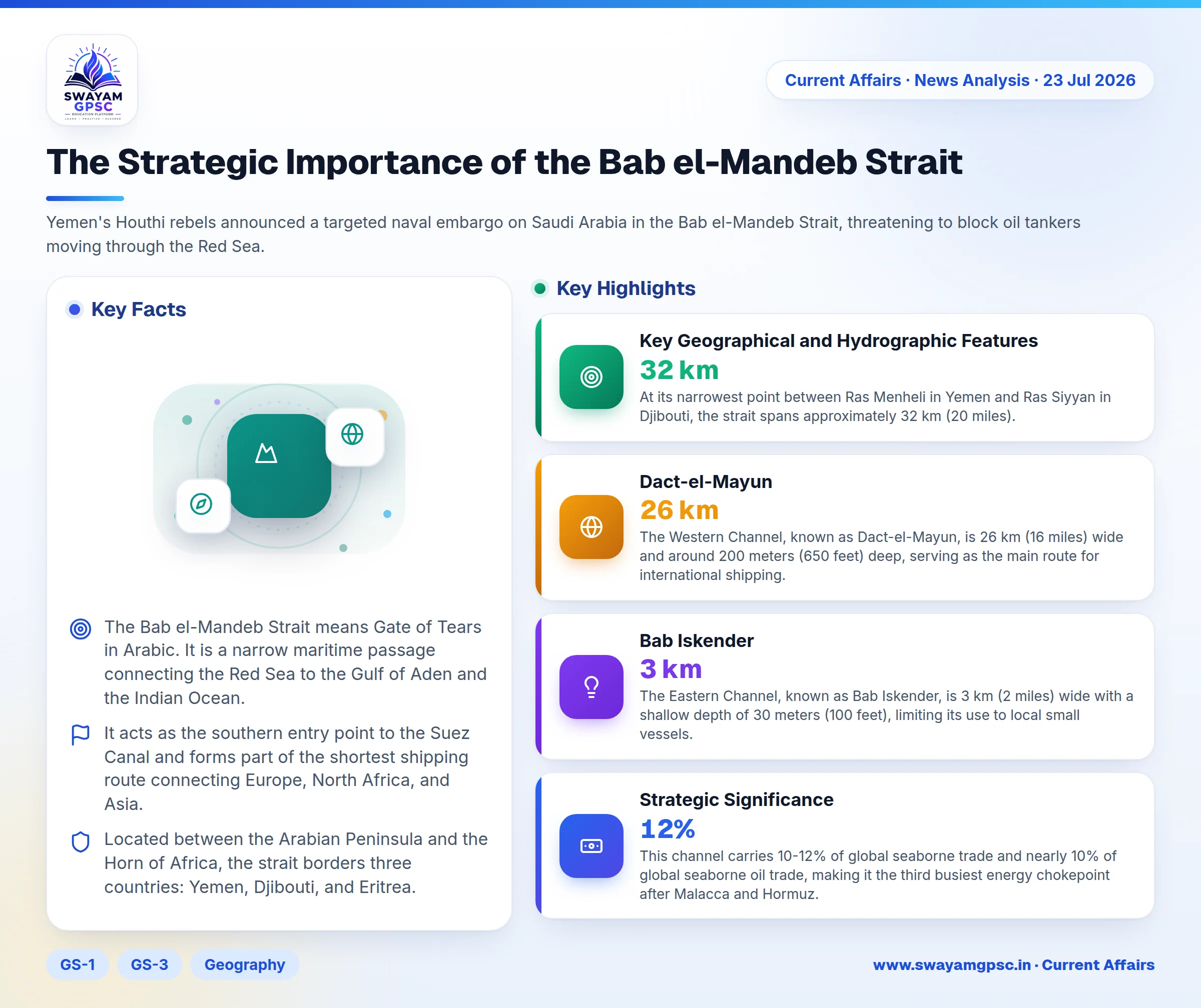
- The Bab el-Mandeb Strait means Gate of Tears in Arabic. It is a narrow maritime passage connecting the Red Sea to the Gulf of Aden and the Indian Ocean.
- It acts as the southern entry point to the Suez Canal and forms part of the shortest shipping route connecting Europe, North Africa, and Asia.
Location and Bordering Nations
- Located between the Arabian Peninsula and the Horn of Africa, the strait borders three countries: Yemen, Djibouti, and Eritrea.
Key Geographical and Hydrographic Features
- At its narrowest point between Ras Menheli in Yemen and Ras Siyyan in Djibouti, the strait spans approximately 32 km (20 miles).
- Volcanic Perim (Mayun) Island divides the passage into two separate navigation channels.
- The Western Channel, known as Dact-el-Mayun, is 26 km (16 miles) wide and around 200 meters (650 feet) deep, serving as the main route for international shipping.
- The Eastern Channel, known as Bab Iskender, is 3 km (2 miles) wide with a shallow depth of 30 meters (100 feet), limiting its use to local small vessels.
- Driven by monsoon winds, seasonal water currents reverse direction here, making it the primary water exchange corridor between the Red Sea and the Gulf of Aden.
- The region features several volcanic islands, including the Seven Brothers (Sawabi Islands) located near the coast of Djibouti.
Strategic Significance
- This channel carries 10-12% of global seaborne trade and nearly 10% of global seaborne oil trade, making it the third busiest energy chokepoint after Malacca and Hormuz.
- Closing this route forces vessels to detour around the Cape of Good Hope, adding 3,500-4,000 nautical miles and 10-14 days to journeys while driving up fuel, insurance, and freight costs.