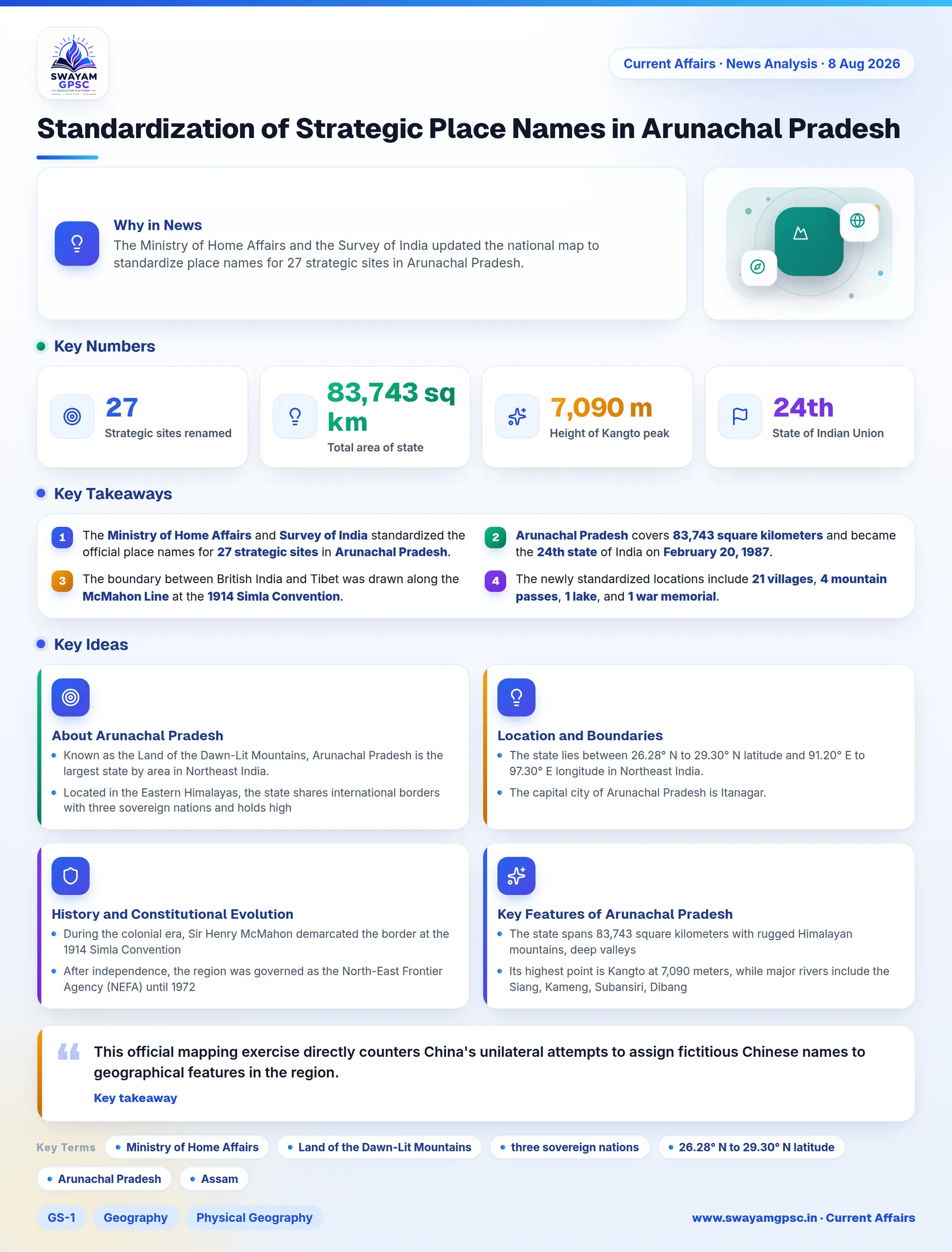
Standardization of Strategic Place Names in Arunachal Pradesh
#GS-1 #Geography #Physical Geography #GS-2 #Indian Polity & Constitution #Statehood #GS-3 #Current Events #National #Arunachal Pradesh #Mapping #McMahon Line #Border Security
Key takeaways
- The Ministry of Home Affairs and Survey of India standardized the official place names for 27 strategic sites in Arunachal Pradesh.
- Arunachal Pradesh covers 83,743 square kilometers and became the 24th state of India on February 20, 1987.
- The boundary between British India and Tibet was drawn along the McMahon Line at the 1914 Simla Convention.
- The newly standardized locations include 21 villages, 4 mountain passes, 1 lake, and 1 war memorial.
- This cartographic exercise directly counters China's repeated attempts to unilaterally rename places in the region.
Why in News
- The Ministry of Home Affairs and the Survey of India updated the national map to standardize place names for 27 strategic sites in Arunachal Pradesh.
About Arunachal Pradesh
- Known as the Land of the Dawn-Lit Mountains, Arunachal Pradesh is the largest state by area in Northeast India.
- Located in the Eastern Himalayas, the state shares international borders with three sovereign nations and holds high ecological and strategic significance.
Location and Boundaries
- The state lies between 26.28° N to 29.30° N latitude and 91.20° E to 97.30° E longitude in Northeast India.
- The capital city of Arunachal Pradesh is Itanagar.
- It shares its domestic borders with two Indian states, which are Assam and Nagaland.
- The state shares international boundaries with Bhutan, Myanmar, and China through the Tibet Autonomous Region.
History and Constitutional Evolution
- During the colonial era, Sir Henry McMahon demarcated the border at the 1914 Simla Convention, creating the McMahon Line.
- After independence, the region was governed as the North-East Frontier Agency (NEFA) until 1972, when it received Union Territory status.
- The region attained full statehood on February 20, 1987, becoming the 24th state of the Indian Union.
Key Features of Arunachal Pradesh
- The state spans 83,743 square kilometers with rugged Himalayan mountains, deep valleys, and glacial lakes like Sambho Sarovar.
- Its highest point is Kangto at 7,090 meters, while major rivers include the Siang, Kameng, Subansiri, Dibang, and Lohit.
- Indigenous tribes like the Nyishi, Adi, Apatani, and Monpa live here and celebrate festivals such as Losar, Solung, Nyokum, and Dree.
- The official symbols are the Great Pied Hornbill as bird, Mithun as animal, Hollong as tree, and Foxtail Orchid as flower.
- Notable places include Tawang Monastery, Namdapha National Park, Bhismaknagar, Malinithan, Parashuram Kund, and Jaswant Garh.
Standardization of Place Names
- The 27 updated sites include 21 villages, 4 mountain passes, 1 glacial lake, and 1 war memorial named Sher-e-Thapa Memorial.
- This official mapping exercise directly counters China's unilateral attempts to assign fictitious Chinese names to geographical features in the region.