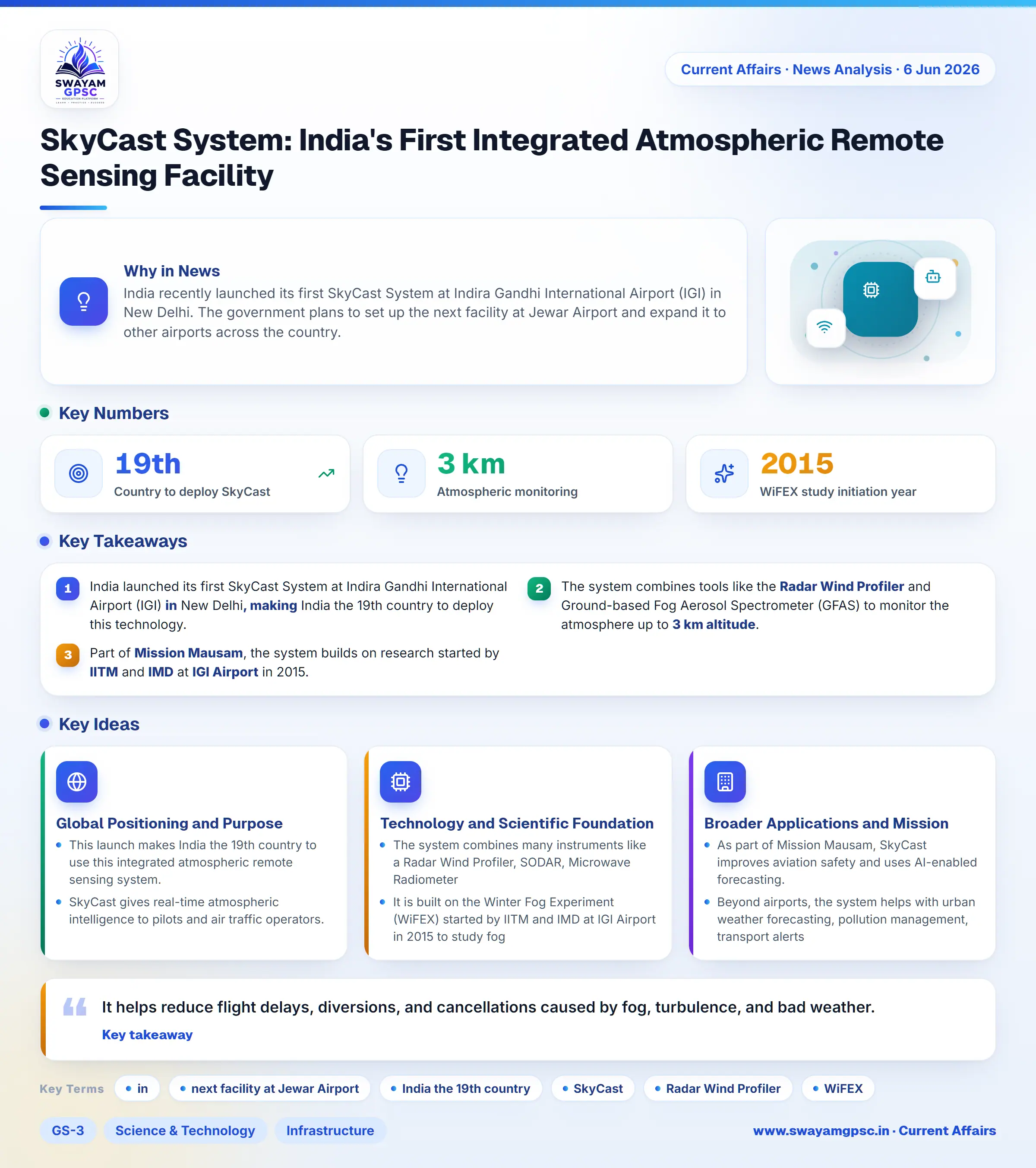
SkyCast System: India's First Integrated Atmospheric Remote Sensing Facility
#GS-3 #Science & Technology #Achievements of Indians in Science & Technology #Infrastructure #Environment #Current Events #National
Key takeaways
- India launched its first SkyCast System at Indira Gandhi International Airport (IGI) in New Delhi, making India the 19th country to deploy this technology.
- The system combines tools like the Radar Wind Profiler and Ground-based Fog Aerosol Spectrometer (GFAS) to monitor the atmosphere up to 3 km altitude.
- Part of Mission Mausam, the system builds on research started by IITM and IMD at IGI Airport in 2015.
Why in News
- India recently launched its first SkyCast System at Indira Gandhi International Airport (IGI) in New Delhi.
- The government plans to set up the next facility at Jewar Airport and expand it to other airports across the country.
Global Positioning and Purpose
- This launch makes India the 19th country to use this integrated atmospheric remote sensing system.
- SkyCast gives real-time atmospheric intelligence to pilots and air traffic operators.
- It helps reduce flight delays, diversions, and cancellations caused by fog, turbulence, and bad weather.
Technology and Scientific Foundation
- The system combines many instruments like a Radar Wind Profiler, SODAR, Microwave Radiometer, Ground-based Fog Aerosol Spectrometer (GFAS), and CL61 Lidar Ceilometer to track weather up to 3 km altitude.
- It is built on the Winter Fog Experiment (WiFEX) started by IITM and IMD at IGI Airport in 2015 to study fog and visibility issues.
Broader Applications and Mission Mausam
- As part of Mission Mausam, SkyCast improves aviation safety and uses AI-enabled forecasting.
- Beyond airports, the system helps with urban weather forecasting, pollution management, transport alerts, and disaster readiness.