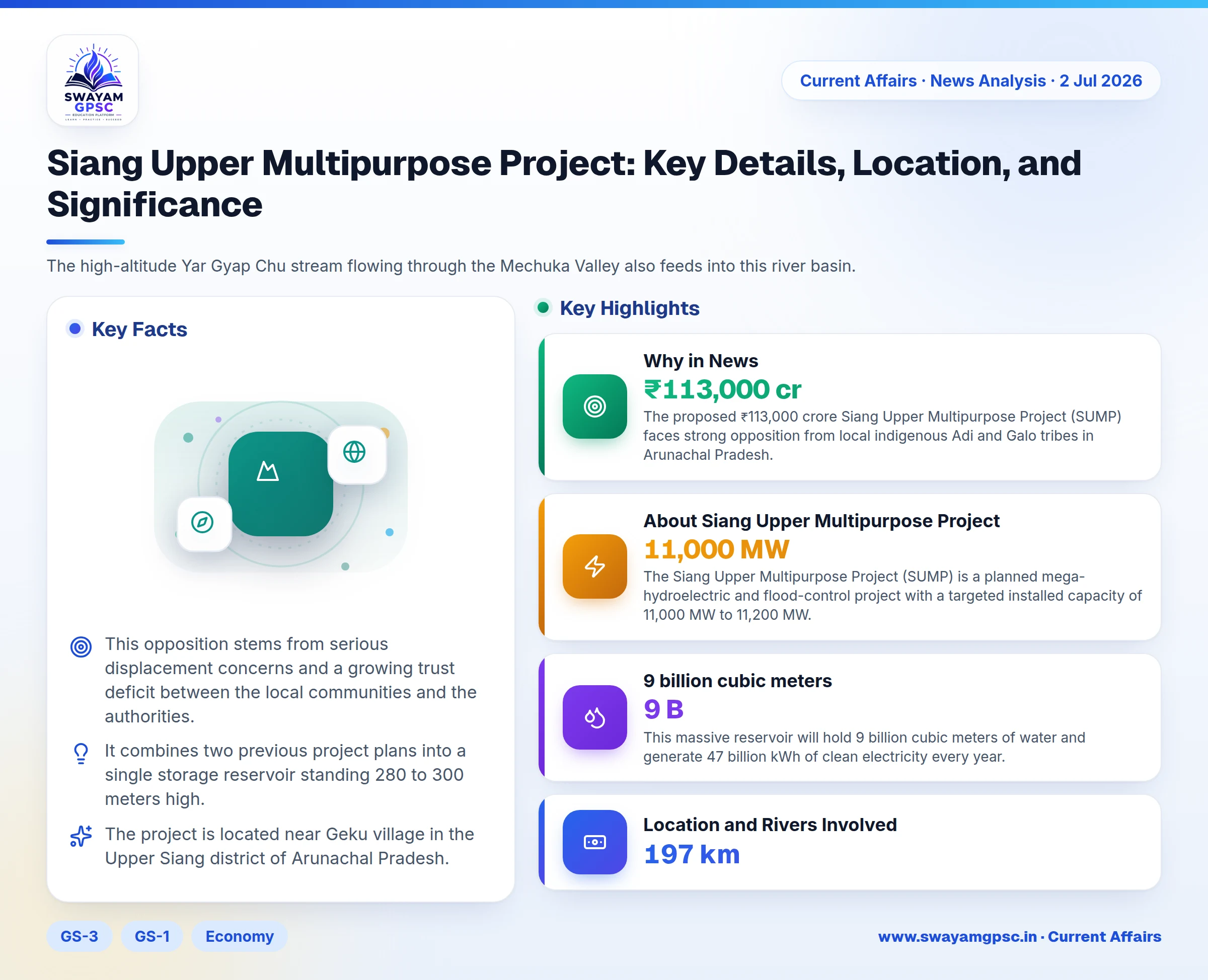
Siang Upper Multipurpose Project: Key Details, Location, and Significance
#GS-3 #GS-1 #Economy #Geography #Infrastructure #Resources #Current Events #National #Hydropower #Arunachal Pradesh
Why in News
- The proposed ₹113,000 crore Siang Upper Multipurpose Project (SUMP) faces strong opposition from local indigenous Adi and Galo tribes in Arunachal Pradesh.
- This opposition stems from serious displacement concerns and a growing trust deficit between the local communities and the authorities.
About Siang Upper Multipurpose Project
- The Siang Upper Multipurpose Project (SUMP) is a planned mega-hydroelectric and flood-control project with a targeted installed capacity of 11,000 MW to 11,200 MW.
- It combines two previous project plans into a single storage reservoir standing 280 to 300 meters high.
- This massive reservoir will hold 9 billion cubic meters of water and generate 47 billion kWh of clean electricity every year.
Location and Rivers Involved
- The project is located near Geku village in the Upper Siang district of Arunachal Pradesh.
- The main river for this project is the Siang River, which enters India near Gelling after originating as the Yarlung Tsangpo at 5,300 meters altitude in the Chemayungdung mountain range near Mansarovar in Tibet.
- After flowing 197 km, the Siang joins its largest right-bank tributary, the Shiyomi River, and later meets the Dibang and Lohit rivers in Assam to form the Brahmaputra River.
- The high-altitude Yar Gyap Chu stream flowing through the Mechuka Valley also feeds into this river basin.
Current Status
- The project is currently stalled due to widespread local opposition.
- Grassroots movements led by the Siang Indigenous Farmer's Forum (SIFF) and Adi Banne Kebang (ABK) have physically stopped the executing agency NHPC from carrying out pre-feasibility surveys.
- Public resistance spans across three targeted locations including Ugeng, Dite Dime, and Parong, making village submergence and displacement estimates highly disputed.
Key Features
- The river flows through the Yarlung Tsangpo Grand Canyon, featuring steep gorges that offer tremendous hydropower potential but are ecologically sensitive.
- The region lies in an earthquake-prone eastern Himalayas zone where landslides can block rivers and cause sudden downstream flooding.
- Downstream alluvial plains contain rich fertile soil supporting a flourishing orchard economy centered on kiwi, mandarin oranges, and large cardamom.
- Unpredictable monsoon patterns trigger major variations in river flow, causing heavy soil erosion and destruction of agricultural land.
Significance
- Building water infrastructure on the Siang strengthens India's prior-use claims under international water law against upstream developments.
- The large reservoir can absorb excess floodwaters, significantly reducing downstream flood risks for Arunachal Pradesh and Assam.
- The project will produce renewable energy, expand irrigation, generate local employment, and turn Arunachal Pradesh into a green energy hub.