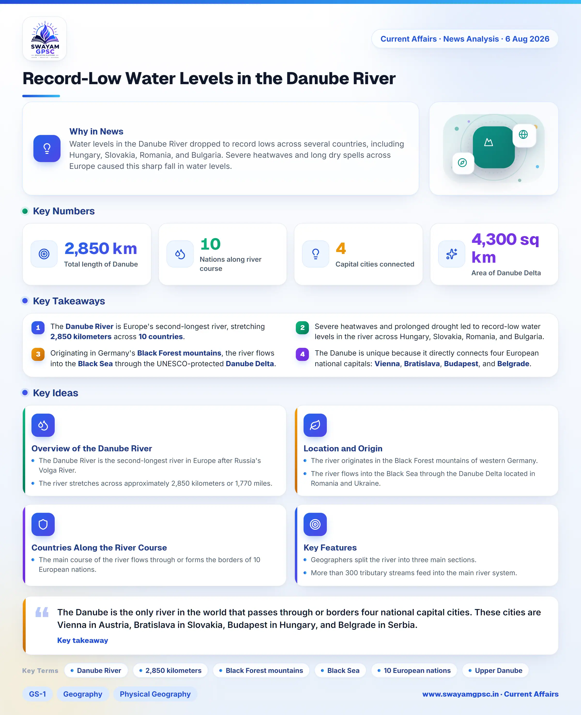
Record-Low Water Levels in the Danube River
#GS-1 #Geography #Physical Geography #Resources #GS-3 #Environment #Climate Change #Current Events #International #Mapping #Danube River
Key takeaways
- The Danube River is Europe's second-longest river, stretching 2,850 kilometers across 10 countries.
- Severe heatwaves and prolonged drought led to record-low water levels in the river across Hungary, Slovakia, Romania, and Bulgaria.
- Originating in Germany's Black Forest mountains, the river flows into the Black Sea through the UNESCO-protected Danube Delta.
- The Danube is unique because it directly connects four European national capitals: Vienna, Bratislava, Budapest, and Belgrade.
Why in News
- Water levels in the Danube River dropped to record lows across several countries, including Hungary, Slovakia, Romania, and Bulgaria. Severe heatwaves and long dry spells across Europe caused this sharp fall in water levels.
Overview of the Danube River
- The Danube River is the second-longest river in Europe after Russia's Volga River. It is also recognized as one of the most international river basins on the planet.
- The river stretches across approximately 2,850 kilometers or 1,770 miles. It serves as an essential trade route, freshwater source, natural border, and nature corridor connecting Central Europe to the Black Sea.
Location and Origin
- The river originates in the Black Forest mountains of western Germany. It starts at the point where two small mountain streams, the Breg and the Brigach, join together.
- The river flows into the Black Sea through the Danube Delta located in Romania and Ukraine. UNESCO protects this delta as a heritage site.
Countries Along the River Course
- The main course of the river flows through or forms the borders of 10 European nations. These countries are Germany, Austria, Slovakia, Hungary, Croatia, Serbia, Bulgaria, Romania, Moldova, and Ukraine.
Key Features
- Geographers split the river into three main sections. These sections are the Upper Danube, the Middle Danube, and the Lower Danube.
- More than 300 tributary streams feed into the main river system. Over 30 of these streams allow ship navigation, including major rivers like the Inn, Drava, Sava, Tisza, Prut, and Siret.
- The Danube is the only river in the world that passes through or borders four national capital cities. These cities are Vienna in Austria, Bratislava in Slovakia, Budapest in Hungary, and Belgrade in Serbia.
- The Danube Delta covers nearly 4,300 square kilometers across Romania and Ukraine. It forms one of the largest wetland ecosystems in Europe and shelters many species of birds and fish.
- Engineers have built major structures along the river for power and navigation. Prominent examples include the Iron Gate I & II dams between Serbia and Romania, as well as the Gabcíkovo Dam in Slovakia.