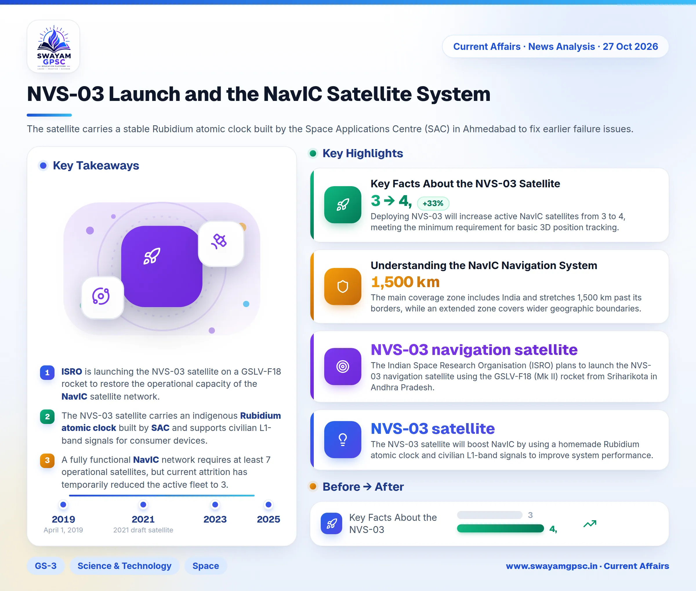
NVS-03 Launch and the NavIC Satellite System
#GS-3 #Science & Technology #Space #NavIC #ISRO #Satellite Navigation
Key takeaways
- ISRO is launching the NVS-03 satellite on a GSLV-F18 rocket to restore the operational capacity of the NavIC satellite network.
- The NVS-03 satellite carries an indigenous Rubidium atomic clock built by SAC and supports civilian L1-band signals for consumer devices.
- A fully functional NavIC network requires at least 7 operational satellites, but current attrition has temporarily reduced the active fleet to 3.
- NavIC offers a primary coverage area extending 1,500 km beyond India's borders with an accuracy target finer than 20 meters.
Why in News
- The Indian Space Research Organisation (ISRO) plans to launch the NVS-03 navigation satellite using the GSLV-F18 (Mk II) rocket from Sriharikota in Andhra Pradesh.
- This mission aims to restore and upgrade the capabilities of NavIC (Navigation with Indian Constellation) after a shortage of operational satellites in orbit.
Summary Overview
- The NVS-03 satellite will boost NavIC by using a homemade Rubidium atomic clock and civilian L1-band signals to improve system performance.
- To make India self-reliant in navigation, ISRO must launch remaining satellites and promote domestic manufacturing of receiver hardware.
Key Facts About the NVS-03 Satellite
- NVS-03 is the third satellite in ISRO's second-generation NVS series, built to replace the older IRNSS satellites with an extended lifespan of 12 years.
- Deploying NVS-03 will increase active NavIC satellites from 3 to 4, meeting the minimum requirement for basic 3D position tracking.
- The satellite carries a stable Rubidium atomic clock built by the Space Applications Centre (SAC) in Ahmedabad to fix earlier failure issues.
- Unlike older models, NVS-03 features the civilian L1 band alongside L5 and S bands to work directly with everyday smartphones and smartwatches.
Understanding the NavIC Navigation System
- NavIC is the operational identity of the Indian Regional Navigation Satellite System (IRNSS), built by ISRO for precise local positioning.
- The system relies on three interconnected parts: the space segment, ground management centers, and user receivers.
- The main coverage zone includes India and stretches 1,500 km past its borders, while an extended zone covers wider geographic boundaries.
- NavIC delivers open Standard Positioning Service (SPS) for regular users and encrypted Restricted Service (RS) for national defense operations.
- The initial IRNSS fleet consisted of seven satellites launched between 2013 and 2018, designed for a 10-year service period.
- The IRNSS-1H launch failed in 2017 when its heat shield did not separate, leading to the deployment of IRNSS-1I in 2018 as a replacement.
- Several first-generation satellites suffered from foreign atomic clock failures or are nearing the end of their operational lifespan.
- Second-generation NVS satellites offer a 12-year lifespan and include the civilian L1 band for compatibility with global positioning tools.
- The NVS-01 satellite launched successfully in 2023 carrying a home-grown atomic clock, but NVS-02 in 2025 failed to reach its target orbit.
- A complete NavIC network needs 7 active satellites, consisting of 3 in Geostationary Orbit and 4 in Inclined Geosynchronous Orbit.
- With IRNSS-1F completing its lifecycle, the network currently relies on only 3 active satellites: IRNSS-1B, IRNSS-1I, and NVS-01.
- A navigation receiver requires signals from at least 4 satellites to accurately calculate latitude, longitude, altitude, and clock timing.
- Even with limited positioning features, NavIC still provides time synchronization and one-way safety broadcasts for emergency fleets.
- Future NavIC devices will feature the AJIT microprocessor, which is the first processing chip designed inside India by IIT Bombay.
- Commercial transport vehicles registered after April 1, 2019 must carry NavIC location trackers under current Indian regulations.
- The United States recognized NavIC as an allied navigation setup in 2019, expanding its international credibility.
- The International Maritime Organization (IMO) officially approved NavIC for inclusion in the World-Wide Radio Navigation System (WWRNS).
Challenges Facing the NavIC Network
- Created after the US restricted GPS access during the 1999 Kargil War, NavIC outages force India to depend on foreign networks.
- Local signal jamming and location spoofing threaten NavIC, requiring ongoing updates to its encrypted military channels.
- The unexpected breakdown of imported atomic clocks on early IRNSS satellites showed the danger of relying on foreign technology.
- A Comptroller and Auditor-General of India (CAG) audit revealed that delayed user receiver production wasted early satellite lifespans.
- As a regional tool, NavIC struggles to convince major international smartphone makers like Apple or Qualcomm to include compatible chips.
Way Forward to Strengthen India's Navigation System
- ISRO must carry out scheduled launches for NVS-04 and NVS-05 to build backup capacity and prevent system blackouts.
- Using home-grown Rubidium Atomic Clocks in every new satellite will end reliance on foreign suppliers.
- The government must give financial incentives to local hardware makers to produce NavIC chips for smartphones.
- India should follow its 2021 draft satellite policy to expand NavIC from a regional tool into a worldwide navigation system.
- Sharing NavIC services with SAARC, BIMSTEC, and ASEAN partners will build diplomatic goodwill and counter China's BeiDou network.
- Signing cross-use deals with global networks like Europe's Galileo and Japan's QZSS will offer seamless positioning worldwide.
Conclusion
- Upgrading to NVS satellites with local clocks and L1 signals makes NavIC more reliable, secure, and ready for commercial use.