India Creates 11 Crore Digital Farmer IDs Ahead of Deadline
#GS-2 #Governance & Social Justice #Government Policies & Interventions #E-Governance #GS-3 #Economy #Agriculture #Science & Technology #Current Events #National
Key takeaways
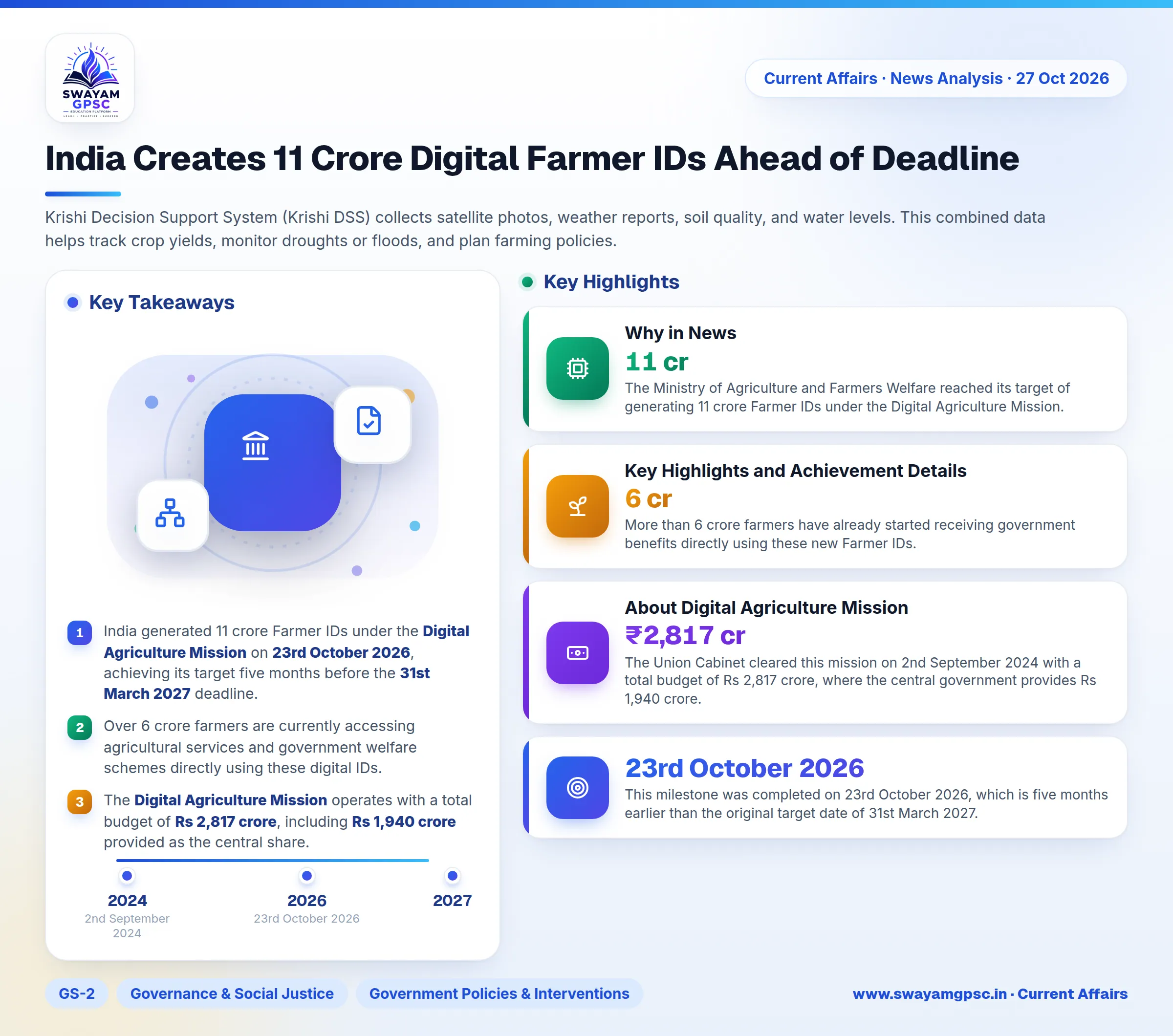
- India generated 11 crore Farmer IDs under the Digital Agriculture Mission on 23rd October 2026, achieving its target five months before the 31st March 2027 deadline.
- Over 6 crore farmers are currently accessing agricultural services and government welfare schemes directly using these digital IDs.
- The Digital Agriculture Mission operates with a total budget of Rs 2,817 crore, including Rs 1,940 crore provided as the central share.
- Key tools under the mission include AgriStack for digital land registry, Krishi DSS for satellite-backed disaster and crop monitoring, and village-level Soil Profile Mapping.
Why in News
- The Ministry of Agriculture and Farmers Welfare reached its target of generating 11 crore Farmer IDs under the Digital Agriculture Mission.
- This milestone was completed on 23rd October 2026, which is five months earlier than the original target date of 31st March 2027.
Key Highlights and Achievement Details
- More than 6 crore farmers have already started receiving government benefits directly using these new Farmer IDs.
- A Farmer ID acts as a unique digital card for each farmer. It connects their personal details with digitised land records inside the AgriStack Farmer Registry to simplify access to welfare schemes.
About Digital Agriculture Mission
- The Union Cabinet cleared this mission on 2nd September 2024 with a total budget of Rs 2,817 crore, where the central government provides Rs 1,940 crore.
- The main goal is building Digital Public Infrastructure (DPI) for farming. This infrastructure helps the government deliver services smoothly and make decisions based on clear data.
- AgriStack forms the core structure. It contains three main databases managed by states: the Farmer Registry, Geo-referenced Village Maps, and the Crop Sown Registry.
- Krishi Decision Support System (Krishi DSS) collects satellite photos, weather reports, soil quality, and water levels. This combined data helps track crop yields, monitor droughts or floods, and plan farming policies.
- Soil Profile Mapping creates detailed maps of soil quality at the village level to help farmers choose the right crops and protect land health.