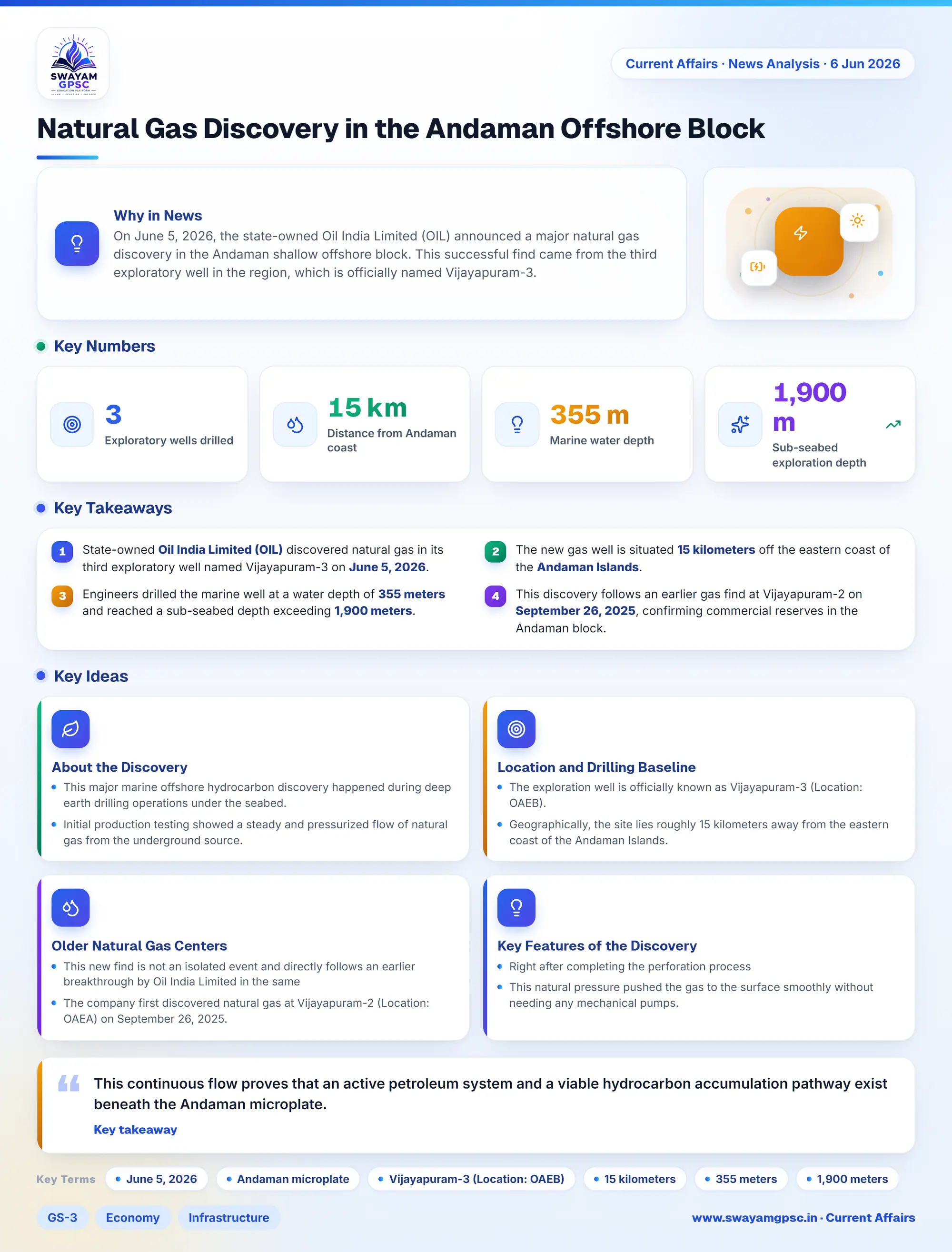
Natural Gas Discovery in the Andaman Offshore Block
#GS-3 #Economy #Infrastructure #Energy #Current Events #National #Gujarat
Key takeaways
- State-owned Oil India Limited (OIL) discovered natural gas in its third exploratory well named Vijayapuram-3 on June 5, 2026.
- The new gas well is situated 15 kilometers off the eastern coast of the Andaman Islands.
- Engineers drilled the marine well at a water depth of 355 meters and reached a sub-seabed depth exceeding 1,900 meters.
- This discovery follows an earlier gas find at Vijayapuram-2 on September 26, 2025, confirming commercial reserves in the Andaman block.
Why in News
- On June 5, 2026, the state-owned Oil India Limited (OIL) announced a major natural gas discovery in the Andaman shallow offshore block.
- This successful find came from the third exploratory well in the region, which is officially named Vijayapuram-3.
About the Discovery
- This major marine offshore hydrocarbon discovery happened during deep earth drilling operations under the seabed.
- Initial production testing showed a steady and pressurized flow of natural gas from the underground source.
- This continuous flow proves that an active petroleum system and a viable hydrocarbon accumulation pathway exist beneath the Andaman microplate.
Location and Drilling Baseline
- The exploration well is officially known as Vijayapuram-3 (Location: OAEB).
- Geographically, the site lies roughly 15 kilometers away from the eastern coast of the Andaman Islands.
- Engineers drilled the well at a marine water depth of 355 meters beneath the sea surface.
- The drill bit reached a total sub-seabed exploration depth of over 1,900 meters into the Eocene geological formation.
Older Natural Gas Centers in the Andaman Block
- This new find is not an isolated event and directly follows an earlier breakthrough by Oil India Limited in the same block.
- The company first discovered natural gas at Vijayapuram-2 (Location: OAEA) on September 26, 2025.
- Out of the three exploratory wells drilled in this block so far, two wells have now officially confirmed commercial-grade hydrocarbon reserves.
Key Features of the Discovery Operation
- Right after completing the perforation process, scientists recorded an instant and strong pressure build-up in the reservoir.
- This natural pressure pushed the gas to the surface smoothly without needing any mechanical pumps.
- Scientists started detailed gas sampling work to study the organic origins of the gas and calculate its exact heating value.
- The company successfully collected 600 square kilometers of high-resolution 3D seismic data to map the underground structure.
- Engineers are now combining this new 3D seismic map with older 2D data to build a detailed digital model of the underground reserves.