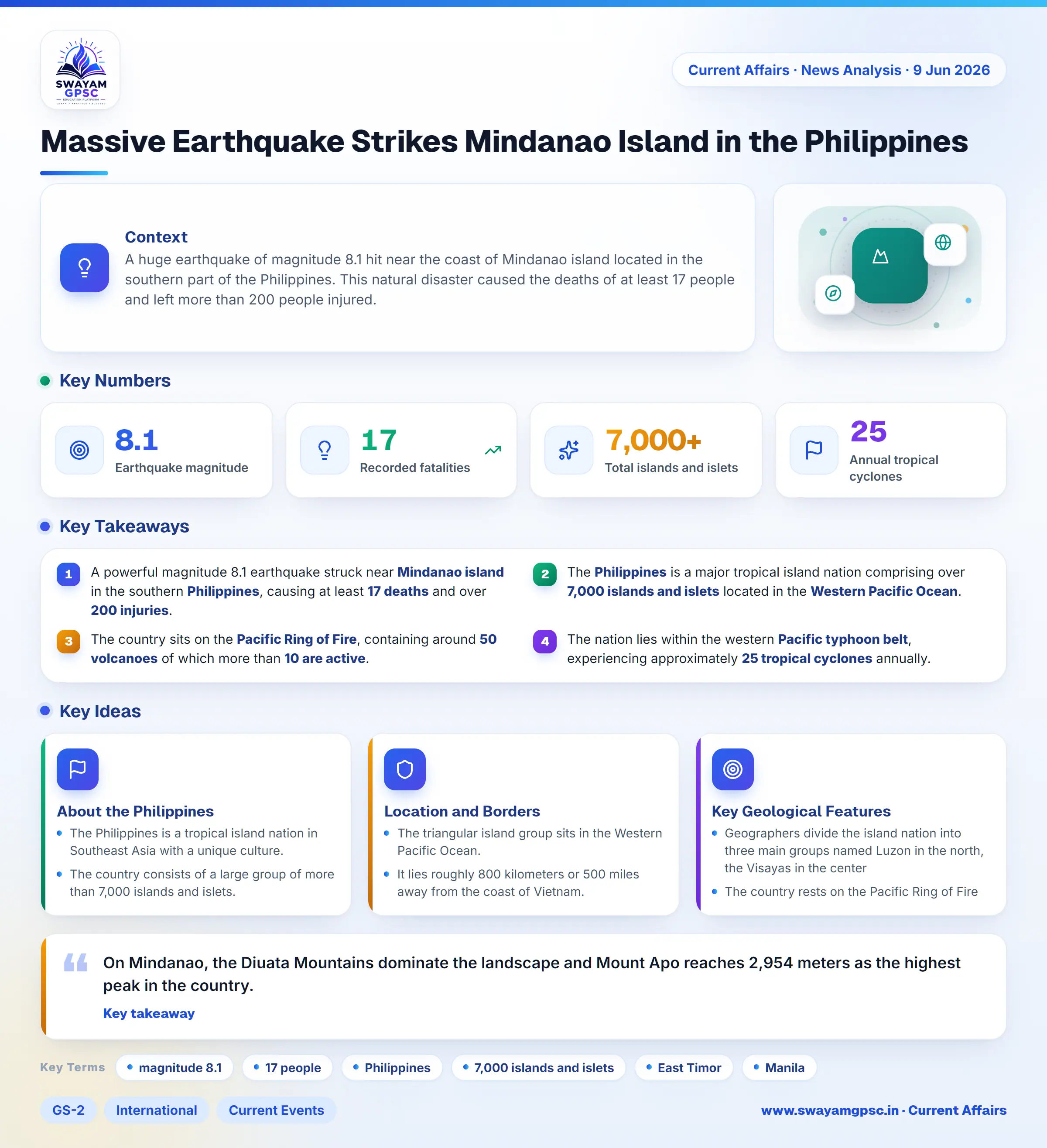
Massive Earthquake Strikes Mindanao Island in the Philippines
#GS-2 #International #Current Events #Geography #Disaster Management #Physical Geography
Key takeaways
- A powerful magnitude 8.1 earthquake struck near Mindanao island in the southern Philippines, causing at least 17 deaths and over 200 injuries.
- The Philippines is a major tropical island nation comprising over 7,000 islands and islets located in the Western Pacific Ocean.
- The country sits on the Pacific Ring of Fire, containing around 50 volcanoes of which more than 10 are active.
- The nation lies within the western Pacific typhoon belt, experiencing approximately 25 tropical cyclones annually.
Context
- A huge earthquake of magnitude 8.1 hit near the coast of Mindanao island located in the southern part of the Philippines.
- This natural disaster caused the deaths of at least 17 people and left more than 200 people injured.
About the Philippines
- The Philippines is a tropical island nation in Southeast Asia with a unique culture.
- The country consists of a large group of more than 7,000 islands and islets.
- It holds a unique place in Asia as one of only two predominantly Roman Catholic nations alongside East Timor.
- It also stands as the second most-populous Asian country that uses English as an official language.
- The capital of the country is Manila, which sits on Luzon, the largest northern island.
Location and Borders
- The triangular island group sits in the Western Pacific Ocean.
- It lies roughly 800 kilometers or 500 miles away from the coast of Vietnam.
- Four different bodies of water surround the nation.
- These surrounding waters are the Philippine Sea, the Celebes Sea, the Sulu Sea, and the South China Sea.
Key Geological Features
- Geographers divide the island nation into three main groups named Luzon in the north, the Visayas in the center, and Mindanao in the south.
- The country rests on the Pacific Ring of Fire, which makes it very vulnerable to frequent earthquakes and volcanic eruptions.
- The nation contains about 50 volcanoes, and more than 10 of them are currently active.
- Mountain ranges shape the landforms across the major islands.
- On Luzon, the Sierra Madre stands as the longest range while the Cordillera Central encloses the fertile Cagayan Valley.
- On Mindanao, the Diuata Mountains dominate the landscape and Mount Apo reaches 2,954 meters as the highest peak in the country.
- Important rivers drain the major valleys and plains.
- The Cagayan River drains northern Luzon, while the Agno and Pampanga rivers supply water to the Central Plain.
- The Mindanao River drains the Cotabato Valley.
- The Puerto Princesa Subterranean River in Palawan is a protected UNESCO World Heritage Site that flows straight into the sea.
- Several major lakes are spread across the islands.
- Laguna de Bay serves as the largest lake in the nation.
- Taal Lake holds an active volcano inside its crater lake.
- Lake Lanao is the biggest freshwater lake located on Mindanao island.
- The country sits inside the western Pacific typhoon belt and faces about 25 tropical cyclones every year.
- Provinces like Samar, Leyte, and Luzon suffer the highest damage from these storms.