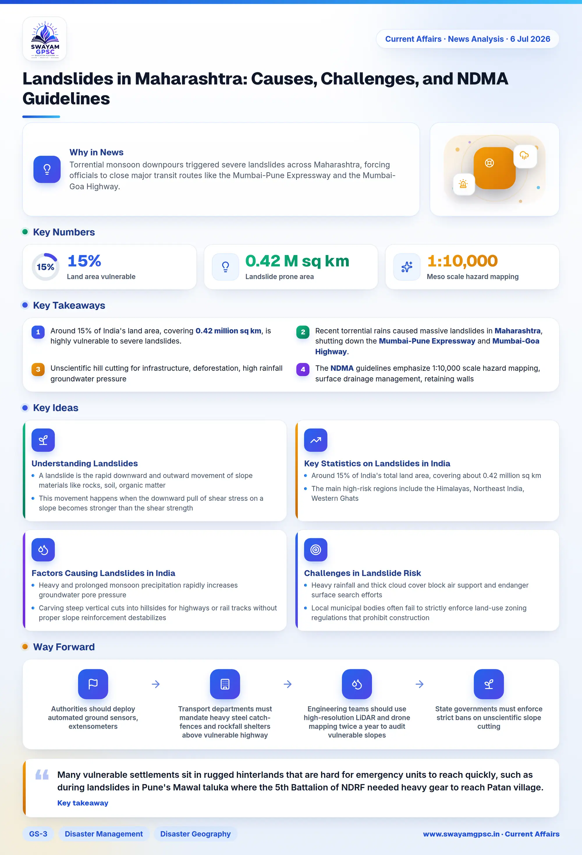
Landslides in Maharashtra: Causes, Challenges, and NDMA Guidelines
#GS-3 #Disaster Management #Disaster Geography #Landslides #Maharashtra #NDMA
Why in News
- Torrential monsoon downpours triggered severe landslides across **Maharashtra**, forcing officials to close major transit routes like the **Mumbai-Pune Expressway** and the **Mumbai-Goa Highway**.
Understanding Landslides
- A landslide is the rapid downward and outward movement of slope materials like rocks, soil, organic matter, and artificial fill driven directly by gravity.
- This movement happens when the downward pull of shear stress on a slope becomes stronger than the shear strength of the underlying soil or rock layers.
Key Statistics on Landslides in India
- Around **15%** of India's total land area, covering about **0.42 million sq km**, remains highly vulnerable to landslide hazards.
- The main high-risk regions include the **Himalayas**, **Northeast India**, **Western Ghats**, and **Eastern Ghats** due to their fragile terrain.
- Many landslide-prone areas fall within **Seismic Zones IV and V**, where active earthquakes further increase slope instability.
Factors Causing Landslides in India
- Heavy and prolonged monsoon precipitation rapidly increases groundwater pore pressure, adding heavy weight to unstable slopes and weakening soil cohesion, as seen during the **July 2026** monsoon along the **Khopoli-Kusgaon Missing Link** corridor.
- Carving steep vertical cuts into hillsides for highways or rail tracks without proper slope reinforcement destabilizes natural slope equilibrium, causing regular debris failures along transit projects in the **Konkan** region.
- Clearing deep tree roots exposes topsoil to intense sheet erosion, as seen on the steep slopes of **Mussoorie** where vegetation loss for commercial properties left soil vulnerable to sliding.
- Continuous crustal movements fracture mountain rocks and create active weakness planes, causing young and tectonically active belts in the **Himalayas** of **Uttarakhand** to experience rockslides even under minor rainfall or seismic shocks.
Challenges in Landslide Risk Management
- Many vulnerable settlements sit in rugged hinterlands that are hard for emergency units to reach quickly, such as during landslides in **Pune**'s **Mawal** taluka where the **5th Battalion of NDRF** needed heavy gear to reach **Patan** village.
- Heavy rainfall and thick cloud cover block air support and endanger surface search efforts, which delayed debris clearance on the **Mumbai-Goa Highway** near **Chiplun** for hours due to secondary rockfalls.
- Local municipal bodies often fail to strictly enforce land-use zoning regulations that prohibit construction on designated high-risk slopes.
- Most vulnerable regions lack meso-scale real-time early warning systems and ground sensors to detect initial soil movements, making timely evacuation alerts difficult.
National Disaster Management Authority (NDMA) Guidelines
- The **Geological Survey of India (GSI)** is tasked with compiling comprehensive landslide inventories and maintaining updated national databases of incidents.
- Disaster authorities execute macro and meso-scale hazard mapping at **1:50,000** and **1:10,000** scales to create **Landslide Hazard Zonation (LHZ)** maps for safe infrastructure planning.
- State agencies must implement structural slope stabilization engineering like retaining walls, rock bolting, wire mesh netting, and anchoring systems along critical transit routes.
- Engineers must prioritize surface and sub-surface drainage management by creating dedicated channel networks that direct stormwater away from fragile slopes to control pore water pressure.
Way Forward
- Authorities should deploy automated ground sensors, extensometers, and smart rain gauges along key expressways like the **Mumbai-Pune Expressway** to send real-time evacuation alerts.
- Transport departments must mandate heavy steel catch-fences and rockfall shelters above vulnerable highway stretches to protect vehicles from falling stones.
- Engineering teams should use high-resolution **LiDAR** and drone mapping twice a year to audit vulnerable slopes and identify new ground cracks before the monsoon arrives.
- State governments must enforce strict bans on unscientific slope cutting, mandating terraced benching and geo-textile soil reinforcement for all hill road projects.
- Local administrations need to build community-led emergency response teams by training village volunteers in remote talukas in early rescue and first-aid protocols.
Conclusion
- While agencies like **GSI** and **NDRF** offer essential mapping and rescue support, recurring highway closures highlight the heavy cost of weak local enforcement and unplanned hill development.
- Turning **NDMA** hazard guidelines into binding municipal codes and deploying automated early warning networks will remain critical to protect public safety and secure key transit corridors.