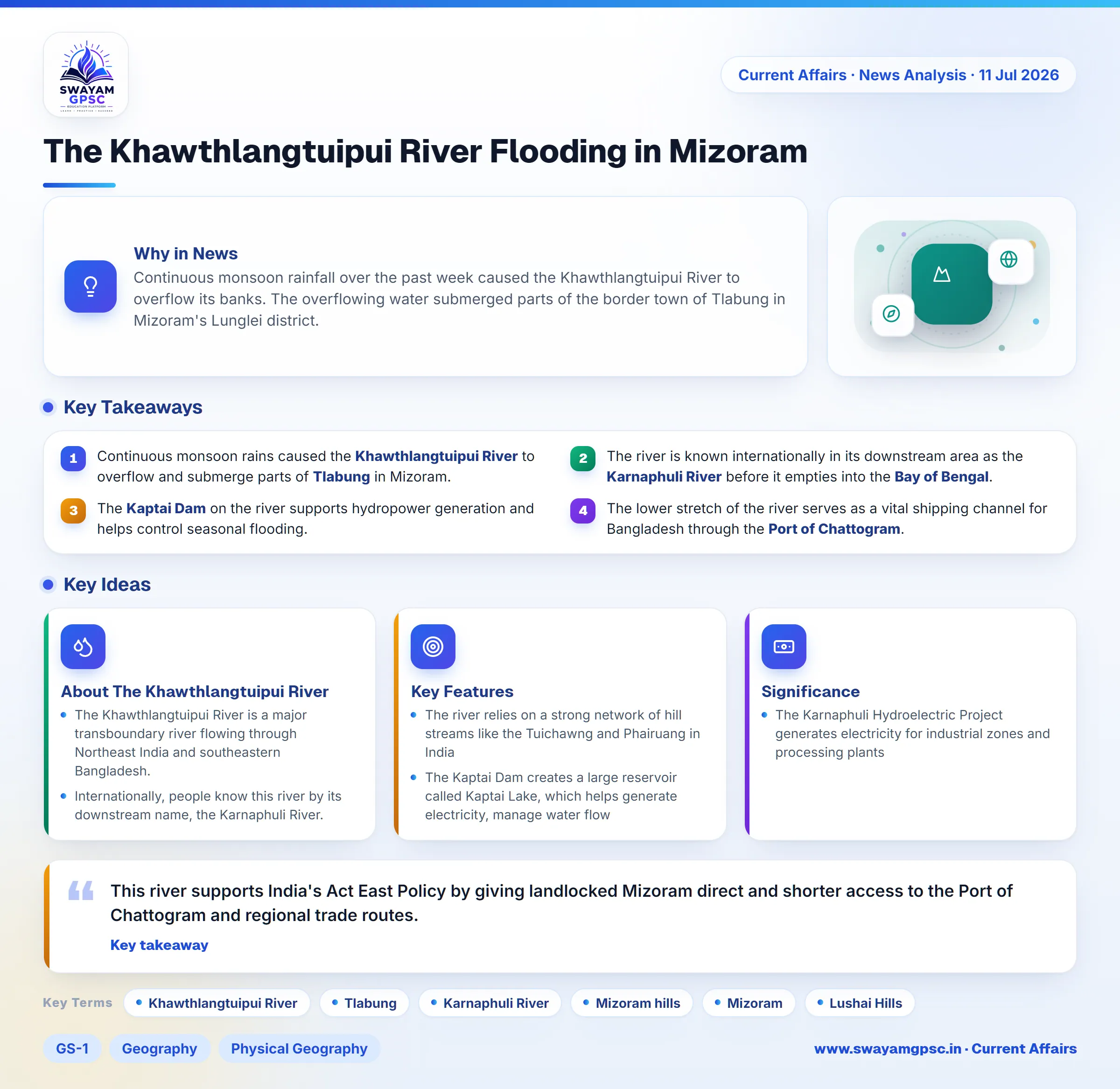
The Khawthlangtuipui River Flooding in Mizoram
#GS-1 #Geography #Physical Geography #GS-2 #Current Events #National #Economy #Infrastructure
Key takeaways
- Continuous monsoon rains caused the Khawthlangtuipui River to overflow and submerge parts of Tlabung in Mizoram.
- The river is known internationally in its downstream area as the Karnaphuli River before it empties into the Bay of Bengal.
- The Kaptai Dam on the river supports hydropower generation and helps control seasonal flooding.
- The lower stretch of the river serves as a vital shipping channel for Bangladesh through the Port of Chattogram.
Why in News
- Continuous monsoon rainfall over the past week caused the Khawthlangtuipui River to overflow its banks.
- The overflowing water submerged parts of the border town of Tlabung in Mizoram's Lunglei district.
About The Khawthlangtuipui River
- The Khawthlangtuipui River is a major transboundary river flowing through Northeast India and southeastern Bangladesh.
- Internationally, people know this river by its downstream name, the Karnaphuli River.
- It serves as the main water source and drainage system for the entire southwestern zone of the Mizoram hills.
- The river originates in the southwestern territory of Mizoram, crosses the international border into the Chittagong Hill Tracts in Bangladesh, and empties into the Bay of Bengal.
- It acts as a natural geographical border between India and Bangladesh near the border sub-division of Tlabung.
- The river begins its journey high up in the Lushai Hills located in northern Mizoram.
Key Features
- The river relies on a strong network of hill streams like the Tuichawng and Phairuang in India, and the Kasalong and Chengi in Bangladesh.
- The Kaptai Dam creates a large reservoir called Kaptai Lake, which helps generate electricity, manage water flow, and control seasonal floods.
- The lower section of the river serves as a crucial shipping route for the Port of Chattogram, which is Bangladesh's largest maritime gateway.
- A proposed transboundary bridge near Tlabung will connect Mizoram directly to Bangladesh and boost bilateral trade.
Significance
- This river supports India's Act East Policy by giving landlocked Mizoram direct and shorter access to the Port of Chattogram and regional trade routes.
- The Karnaphuli Hydroelectric Project generates electricity for industrial zones and processing plants, boosting economic growth in southeastern Bangladesh.