The Kasturirangan Report on the Conservation of Western Ghats
#GS-3 #Environment #Sustainable Development #Biodiversity #Geography #Resources
Key takeaways
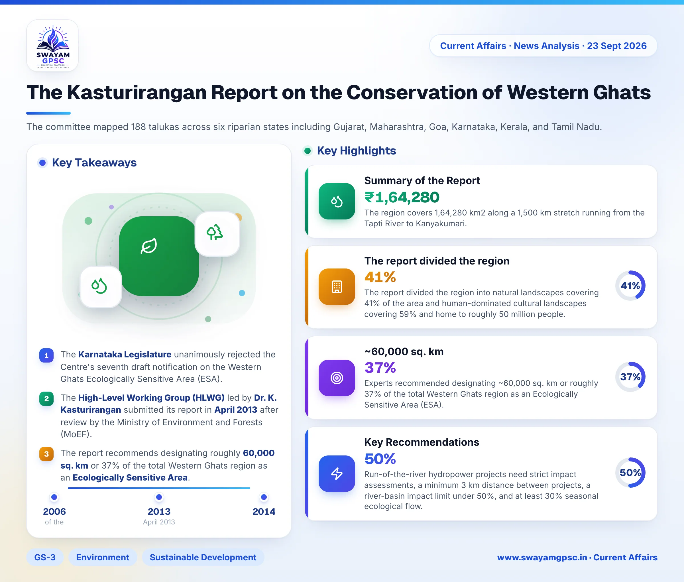
- The Karnataka Legislature unanimously rejected the Centre's seventh draft notification on the Western Ghats Ecologically Sensitive Area (ESA).
- The High-Level Working Group (HLWG) led by Dr. K. Kasturirangan submitted its report in April 2013 after review by the Ministry of Environment and Forests (MoEF).
- The report recommends designating roughly 60,000 sq. km or 37% of the total Western Ghats region as an Ecologically Sensitive Area.
- The region spans 1,64,280 km2 across 188 talukas in six riparian states along a 1,500 km stretch.
Why in News
- The Karnataka Legislature unanimously rejected the Centre's seventh draft notification on the Western Ghats Ecologically Sensitive Area (ESA) in its current form.
- State lawmakers want to restrict the ESA strictly to notified forests.
- Authorities are demanding a cadastral survey before finalizing any boundary demarcation.
About the Kasturirangan Report
- The Ministry of Environment and Forests (MoEF) formed the 10-member High-Level Working Group (HLWG) in April 2013 under the leadership of former Planning Commission member Dr. K. Kasturirangan.
- This committee reviewed the earlier Madhav Gadgil-led Western Ghats Ecology Expert Panel (WGEEP) report to find a balanced roadmap that combines environmental protection with regional economic growth.
Summary of the Report
- The committee mapped 188 talukas across six riparian states including Gujarat, Maharashtra, Goa, Karnataka, Kerala, and Tamil Nadu.
- The region covers 1,64,280 km2 along a 1,500 km stretch running from the Tapti River to Kanyakumari.
- The report divided the region into natural landscapes covering 41% of the area and human-dominated cultural landscapes covering 59% and home to roughly 50 million people.
- Experts recommended designating ~60,000 sq. km or roughly 37% of the total Western Ghats region as an Ecologically Sensitive Area (ESA).
- This 37% area represents about 90% of the continuous natural landscape.
- The mapping used a fine spatial resolution of 24 metres with IRS LISS-III satellite vegetation layers and landscape fragmentation indices.
- The revenue village serves as the primary administrative unit for this demarcation.
- Unlike the Gadgil committee's uniform zonation, this report targets only highly destructive activities within the 37% ESA.
- The report suggested economic incentives like debt-for-nature swaps, a dedicated Western Ghats Sustainable Development Fund, and payments for ecosystem services.
- A joint geospatial monitoring center managed by all six states was proposed to track ecological shifts and downscale climate models.
- Local Gram Sabhas must provide prior informed consent and a No-Objection Certificate (NOC) for all future development projects under the Forest Rights Act (FRA).
Key Recommendations
- The report demands a total ban on new mining, quarrying, and sand mining inside the ESA, phasing out existing leases within five years or upon expiry.
- New thermal power plants are completely banned.
- Run-of-the-river hydropower projects need strict impact assessments, a minimum 3 km distance between projects, a river-basin impact limit under 50%, and at least 30% seasonal ecological flow.
- Heavy polluting Red category industries face a strict ban, while Orange category food and processing units are allowed under regulations to support local livelihoods.
- New townships and large construction projects of 20,000 sq. metres and above are strictly prohibited.
- Other permissible infrastructure must secure strict Environmental Clearance under Category A of the EIA Notification 2006.
- Projects within a 10 km buffer of the ESA boundary must also follow these environmental norms.
Challenges Associated with the Report
- Using satellite data without ground verification created anomalies where entire revenue villages became restricted zones if about 20% of their area had canopy cover.
- Farming communities and plantation owners fear that restrictions will stop property divisions, halt agricultural land-use changes, and trigger evictions.
- Issuing seven draft notifications since 2014 without final statutory rules creates long-term administrative uncertainty.
- Confining the ESA strictly to notified reserve forests leaves out crucial wildlife corridors, sacred groves, and private shola-grassland patches.
Way Forward
- State Forest and Revenue Departments should form joint task forces to physically map ESA boundaries down to individual property survey numbers.
- Neighboring states can follow Kerala's verification model to identify non-forest cultural areas and submit survey-backed data to the MoEFCC.
- Instead of an all-or-nothing approach, authorities should introduce a tiered regulatory system with strict protection for core forests and relaxed rules for buffer farmlands.
- The government should operationalize payments for ecosystem services to provide direct financial support to farmers shifting to organic farming and agroforestry.