Indian Navy Foils Piracy Attempt in the Strategic Gulf of Aden
#GS-1 #Geography #Physical Geography #GS-3 #Defence #Current Events #International #National #Gulf of Aden #Maritime Security
Why in News
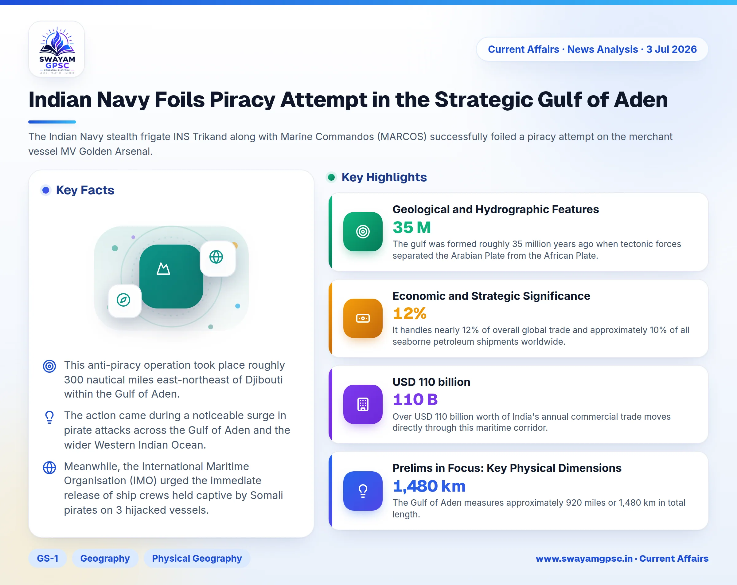
- The Indian Navy stealth frigate INS Trikand along with Marine Commandos (MARCOS) successfully foiled a piracy attempt on the merchant vessel MV Golden Arsenal.
- This anti-piracy operation took place roughly 300 nautical miles east-northeast of Djibouti within the Gulf of Aden.
- The action came during a noticeable surge in pirate attacks across the Gulf of Aden and the wider Western Indian Ocean.
- Meanwhile, the International Maritime Organisation (IMO) urged the immediate release of ship crews held captive by Somali pirates on 3 hijacked vessels.
Location and Geographical Boundaries
- The Gulf of Aden is a strategic deepwater marine basin covering nearly 205,000 square miles or 530,000 square km.
- It is geographically positioned between the Arabian Peninsula to the north and the African continent to the south.
- The basin is bounded by Yemen to the north, while Somalia, Somaliland, and the Socotra Islands lie to its south.
- On its western side, it connects to the Red Sea through the Strait of Bab el-Mandeb via the Gulf of Tadjoura, and borders Djibouti.
- To the east, the gulf opens into the Arabian Sea and Indian Ocean, bounded by the meridian of Cape Guardafui and the Khuriyya Muriyya Islands.
- It also connects directly to the Somali Sea through the Guardafui Channel.
Geological and Hydrographic Features
- The gulf was formed roughly 35 million years ago when tectonic forces separated the Arabian Plate from the African Plate.
- It features the Sheba Ridge, an active mid-ocean ridge where continuous seafloor spreading generates new oceanic crust.
- The deepest point in the gulf is the Alula-Fartak Trench, which reaches a depth of 5,360 meters due to faulting along the Sheba Ridge.
- Water from the Indian Ocean flows through the Strait of Bab el-Mandeb to replenish high evaporation losses in the Red Sea, guided by monsoon winds.
- Seasonal ocean upwelling brings nutrient-dense water to the surface, supporting rich marine life like plankton, tuna, whales, dolphins, and sea turtles.
Economic and Strategic Significance
- The Gulf of Aden serves as a vital maritime choke point that connects the Suez Canal to the Indian Ocean.
- It handles nearly 12% of overall global trade and approximately 10% of all seaborne petroleum shipments worldwide.
- Over USD 110 billion worth of India's annual commercial trade moves directly through this maritime corridor.
- Key commercial ports along this waterway include Aden in Yemen, Djibouti City, Berbera and Zeila in Somaliland, and Bosaso in Somalia.
Challenges
- Commercial shipping in the region faces constant threats from piracy, armed robbery at sea, and illicit trafficking.
- Ongoing regional conflicts and terrorist activities create severe operational disruptions for merchant ships in these waters.
- Due to these safety risks, international naval forces, including the Indian Navy, maintain continuous patrols to safeguard commercial sea lanes.
Prelims in Focus: Key Physical Dimensions
- The Gulf of Aden measures approximately 920 miles or 1,480 km in total length.
- It maintains an average width of around 300 miles or 480 km across its span.
- The International Maritime Organisation (IMO) plays a crucial global role in addressing maritime security and crew safety in pirate-prone regions.