India's Wetland Conservation Journey and Expanding Ramsar Network
#GS-3 #Environment #Climate Change #Biodiversity #Sustainable Development #Disaster Management #Conservation #Ramsar Sites
Key takeaways
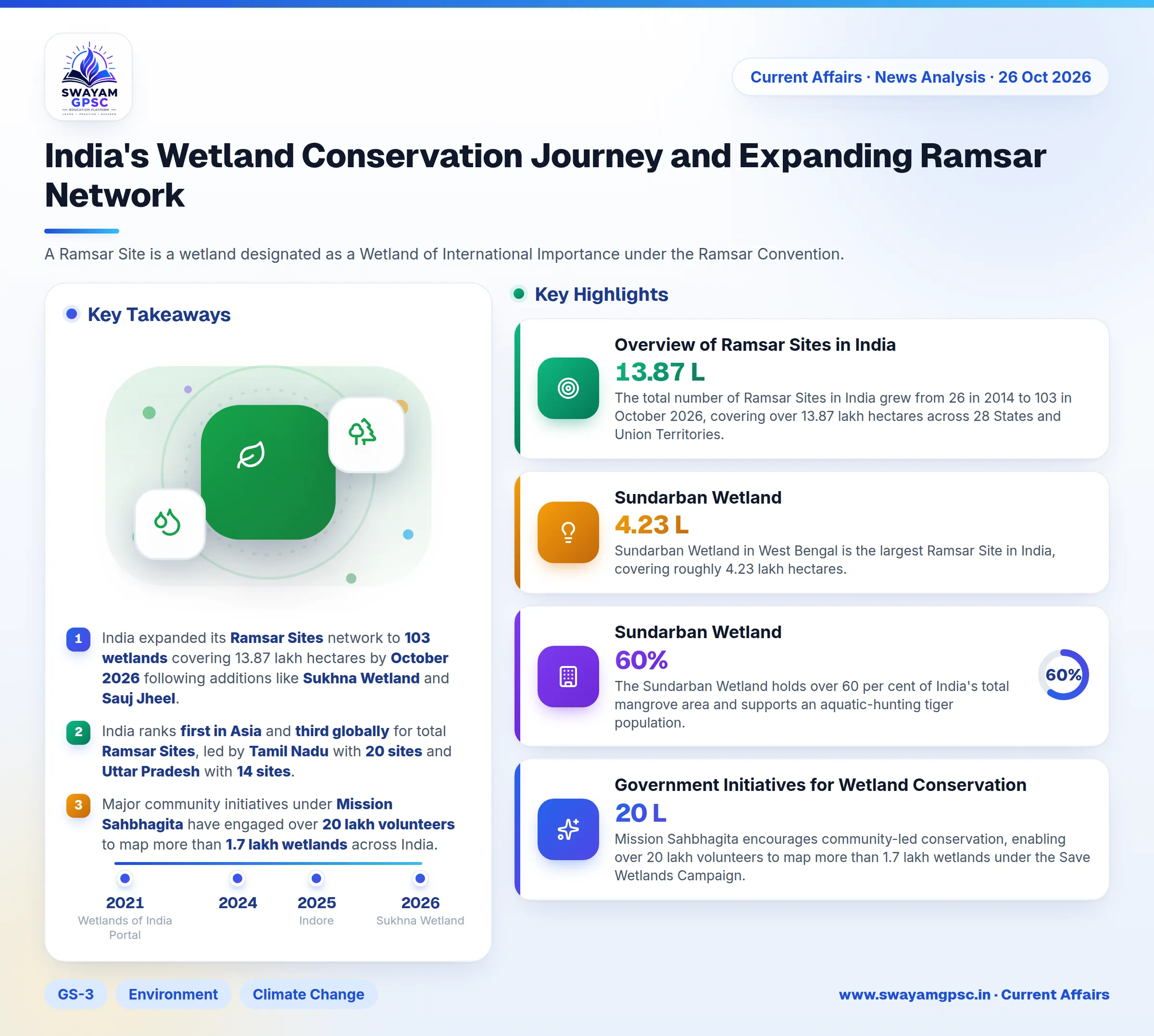
- India expanded its Ramsar Sites network to 103 wetlands covering 13.87 lakh hectares by October 2026 following additions like Sukhna Wetland and Sauj Jheel.
- India ranks first in Asia and third globally for total Ramsar Sites, led by Tamil Nadu with 20 sites and Uttar Pradesh with 14 sites.
- Major community initiatives under Mission Sahbhagita have engaged over 20 lakh volunteers to map more than 1.7 lakh wetlands across India.
- Coastal conservation under MISHTI received Rs 88.44 crore to restore nearly 10,000 hectares of mangrove habitats.
- Critical urban wetlands like the East Kolkata Wetlands process 750 million litres of municipal wastewater daily while supporting 50,000 livelihoods.
Why in News
- India added Sukhna Wetland in Chandigarh and Sauj Jheel in Uttar Pradesh to its list of Ramsar Sites in October 2026.
- These new additions brought India's total number of Ramsar Sites to 103.
- This network expansion strengthens the country's national goals regarding biodiversity conservation, water security, and climate resilience.
Overview of Ramsar Sites in India
- A Ramsar Site is a wetland designated as a Wetland of International Importance under the Ramsar Convention.
- The Ramsar Convention is an intergovernmental treaty signed in 1971 at Ramsar, Iran, which officially entered into force in 1975.
- The treaty included 172 Contracting Parties and over 2,536 Ramsar Sites globally as of October 2026.
- India officially joined the Ramsar Convention as a Contracting Party in 1982.
- India's wetland network encompasses high-altitude lakes, river floodplains, mangroves, coral reefs, village tanks, and urban marshes.
- The total number of Ramsar Sites in India grew from 26 in 2014 to 103 in October 2026, covering over 13.87 lakh hectares across 28 States and Union Territories.
- India ranks first in Asia and third globally for the total number of designated Ramsar Sites.
- Tamil Nadu holds the highest number of Ramsar Sites with 20, while Uttar Pradesh ranks second with 14.
- Chilika Lake in Odisha and Keoladeo National Park in Rajasthan became India's first designated Ramsar Sites in 1981.
- Sundarban Wetland in West Bengal is the largest Ramsar Site in India, covering roughly 4.23 lakh hectares.
- The Sundarban Wetland holds over 60 per cent of India's total mangrove area and supports an aquatic-hunting tiger population.
- Chilika Lake was removed from the Montreux Record in 2002, and the Chilika Development Authority later received the Ramsar Wetland Conservation Award.
- Indore in Madhya Pradesh and Udaipuir in Rajasthan became India's first Ramsar-accredited Wetland Cities in January 2025.
Chronology of Recent Ramsar Additions
- India added 11 new wetland systems during 2025, which brought the national total to 96.
- Surha Tal, also known as the Jai Prakash Narayan Bird Sanctuary in Uttar Pradesh, became India's 100th Ramsar Site in June 2026.
- Glaw Lake in Arunachal Pradesh was declared the 101st Ramsar Site in August 2026, protecting an ecosystem with 150 tree species and 49 orchid species.
- Sukhna Wetland in Chandigarh was recognized as the 102nd Ramsar Site on October 15, 2026, serving as a staging point on the Central Asian Flyway.
- Sauj Jheel in Uttar Pradesh was designated as the 103rd Ramsar Site on October 15, 2026, hosting over 30,000 waterbirds and vulnerable sarus cranes.
Government Initiatives for Wetland Conservation
- The government notified the Wetlands (Conservation and Management) Rules, 2017 under the Environment (Protection) Act, 1986 to establish State and Union Territory Wetland Authorities.
- The National Plan for Conservation of Aquatic Ecosystems (NPCA) operates as a centrally sponsored scheme, with updated guidelines released in 2024 for sustainable wetland management.
- The Amrit Dharohar initiative supports species protection, nature tourism, and carbon assessments across Ramsar Sites.
- Flora and fauna inventories were completed for 75 Ramsar Sites, while carbon stock assessments were conducted at 39 sites.
- Mission Sahbhagita encourages community-led conservation, enabling over 20 lakh volunteers to map more than 1.7 lakh wetlands under the Save Wetlands Campaign.
- The Mangrove Initiative for Shoreline Habitats and Tangible Incomes (MISHTI) allocated Rs 88.44 crore to restore mangrove ecosystems across coastal regions.
- The Wetlands of India Portal launched in 2021 to serve as a central digital repository for wetland research, spatial data, and management resources.
Key Features and Criteria of the Ramsar Convention
- The convention defines wetlands as areas of marsh, fen, peatland, or water, whether natural or artificial, permanent or temporary, fresh, brackish, or salt, including marine areas up to six metres deep at low tide.
- The three main pillars of the convention are Wise Use, Ramsar Site Designation, and International Cooperation.
- The designation process involves identification by State or Union Territory governments, followed by coordination through the Ministry of Environment, Forest and Climate Change (MoEFCC).
- Criterion 1 focuses on wetlands containing representative, rare, or unique natural wetland types within an appropriate biogeographic region.
- Criteria 2 and 3 cover wetlands supporting vulnerable, endangered, or critically endangered species, or key populations that maintain regional biodiversity.
- Criterion 4 applies to wetlands supporting species during critical life stages or providing refuge in adverse conditions.
- Criterion 5 requires a wetland to regularly support 20,000 or more waterbirds.
- Criterion 6 requires a wetland to regularly support 1 per cent of the individuals in a population of one species or subspecies of waterbird.
- Criteria 7 and 8 pertain to wetlands supporting significant proportions of indigenous fish species, spawning grounds, migration paths, or nursery zones.
- Criterion 9 requires a wetland to regularly support 1 per cent of the individuals in a population of a wetland-dependent non-avian animal species.
- Ramsar designation gives countries an international platform to raise concerns and adopt global resolutions, such as India's resolution on sustainable lifestyles at Ramsar COP15.
- Designated sites receive higher international visibility, expert assistance through Ramsar Advisory Missions, and access to international small-grant funding.
- Designation commits state authorities to wise use, legal notification under the Wetlands Rules, 2017, and updating the Ramsar Information Sheet (RIS) every six years.
Understanding the Montreux Record
- The Montreux Record is a register of Ramsar Sites where changes in ecological character have occurred, are occurring, or are likely to occur due to human activities.
- It highlights priority sites requiring urgent conservation attention, targeted monitoring, and allocation of remedial resources.
- Sites are added to or removed from the register in consultation with national governments and scientific experts based on ecological recovery status.
Ecological and Socioeconomic Significance of Wetlands
- Wetlands host critical breeding and feeding habitats, such as Chilika Lake supporting roughly 118 fish species and migratory bird populations.
- Mangroves and coastal wetlands act as storm buffers, exemplified by the Sundarban Wetland protecting coastal areas from severe weather.
- Wetlands support water security through groundwater recharge, natural freshwater storage, and hydrological regulation.
- Wetland ecosystems sustain local livelihoods, with the East Kolkata Wetlands treating 750 million litres of wastewater daily, producing 10,500 tonnes of fish annually, and supporting 50,000 people.
- Protected wetlands aid in target species recovery, such as the Beas Conservation Reserve hosting India's only known population of the Indus River dolphin.
- Community stewardship supports conservation, as seen at Khichan Wetland where local residents protect over 22,000 wintering demoiselle cranes.
Challenges in Wetland Conservation
- Urban expansion causes land illegal reclamation and drainage basin destruction, shrinking urban sites like Deepor Beel and Pallikaranai marsh.
- Untreated sewage and agricultural runoff trigger eutrophication, causing invasive species like water hyacinth to choke Harike Lake and Loktak Lake.
- Upstream deforestation and unregulated construction cause heavy siltation, cutting off feeder channels at Wular Lake.
- Conflicting administrative roles between revenue, fisheries, forestry, and local bodies delay field-level conservation actions.
Way Forward
- Authorities must complete digital GIS satellite mapping of all 103 Ramsar Sites to legally integrate wetland perimeters into revenue records.
- State governments should speed up site-specific Integrated Management Plans (IMPs) under the 2024 NPCA Guidelines.
- Urban planners should expand the wetland city model used in Indore and Udaipur to align real estate planning with conservation.
- State departments need to involve local communities through co-management structures and ecotourism revenue sharing.
- Water resource departments must establish ecological flow protocols for upstream dams to maintain healthy seasonal hydrological cycles.