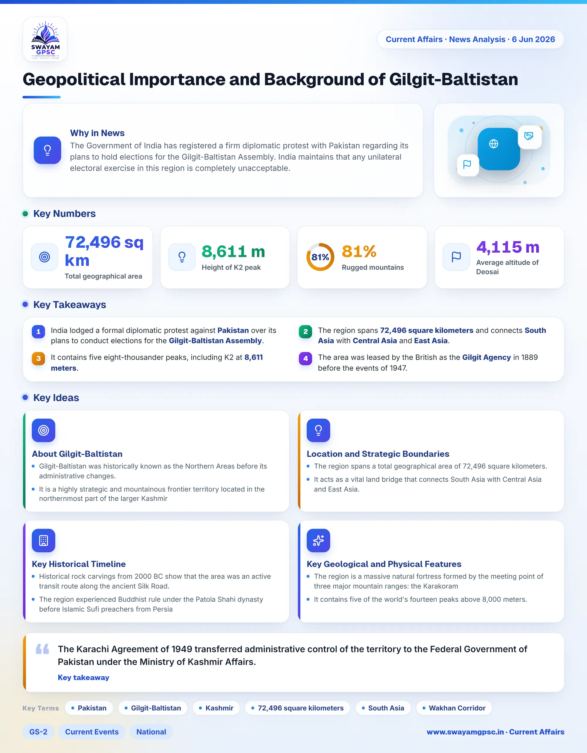
Geopolitical Importance and Background of Gilgit-Baltistan
#GS-2 #Current Events #National #International #Economy #Infrastructure
Key takeaways
- India lodged a formal diplomatic protest against Pakistan over its plans to conduct elections for the Gilgit-Baltistan Assembly.
- The region spans 72,496 square kilometers and connects South Asia with Central Asia and East Asia.
- It contains five eight-thousander peaks, including K2 at 8,611 meters.
- The area was leased by the British as the Gilgit Agency in 1889 before the events of 1947.
Why in News
- The Government of India has registered a firm diplomatic protest with Pakistan regarding its plans to hold elections for the Gilgit-Baltistan Assembly.
- India maintains that any unilateral electoral exercise in this region is completely unacceptable.
About Gilgit-Baltistan
- Gilgit-Baltistan was historically known as the Northern Areas before its administrative changes.
- It is a highly strategic and mountainous frontier territory located in the northernmost part of the larger Kashmir region.
Location and Strategic Boundaries
- The region spans a total geographical area of 72,496 square kilometers.
- It acts as a vital land bridge that connects South Asia with Central Asia and East Asia.
- To the north, it shares a boundary with the narrow Wakhan Corridor of Afghanistan.
- The east and northeast sections border the Xinjiang autonomous region of China.
- The western side adjoins Khyber Pakhtunkhwa province in Pakistan.
- The southern boundary connects with Pakistan-administered Azad Kashmir.
- The southeastern part directly meets the Indian-administered Union Territories of Jammu & Kashmir and Ladakh.
Key Historical Timeline
- Historical rock carvings from 2000 BC show that the area was an active transit route along the ancient Silk Road.
- The region experienced Buddhist rule under the Patola Shahi dynasty before Islamic Sufi preachers from Persia introduced Islam in the 14th century.
- Following the Treaty of Amritsar in 1846, the area became part of the Princely State of Jammu and Kashmir under the Dogra dynasty.
- The British Empire leased the Gilgit area from the Maharaja in 1889 to block Russian expansion and formed the Gilgit Agency.
- Maharaja Hari Singh signed the Instrument of Accession to join India in October 1947.
- Major William Brown led a military coup against the Hindu Governor on November 1, 1947, and Pakistan took operational control on November 16, 1947.
- The Karachi Agreement of 1949 transferred administrative control of the territory to the Federal Government of Pakistan under the Ministry of Kashmir Affairs.
Key Geological and Physical Features
- The region is a massive natural fortress formed by the meeting point of three major mountain ranges: the Karakoram, the Hindu Kush, and the Western Himalayas.
- It contains five of the world's fourteen peaks above 8,000 meters.
- The area features K2 (Mount Godwin-Austen), which stands as the second-highest peak on Earth at 8,611 meters.
- Other notable peaks include Gasherbrum I, Gasherbrum II, Broad Peak, and Nanga Parbat at 8,126 meters.
- More than 81% of the total land consists of rugged mountains and massive glaciers.
- It holds massive glaciated networks outside the polar circles, including the Baltoro, Biafo, and Batura glaciers, along with the Snow Lake basin.
- The Deosai National Park sits on a plateau at an average height of 4,115 meters above sea level.
- The Deosai Plateau is the second-highest alpine plateau in the world after Tibet and serves as a home for the endangered Himalayan brown bear.
- The Indus River acts as the main water highway, receiving water from major tributaries like the Shyok, Shigar, Gilgit, and Hunza rivers.
The Current Geopolitical Issue
- India considers Gilgit-Baltistan as an integral part of Jammu & Kashmir based on the 1947 Instrument of Accession.
- India strongly opposes any changes to the region's constitutional status, demographics, or governance by Pakistan.
- India points out serious issues regarding restricted political freedoms and human rights violations in the area.
- Pakistan has avoided fully integrating the region to keep the status of Kashmir disputed internationally.
- Pakistan argues that a formal merger could weaken its stance on a UN-backed plebiscite.
- The territory serves as a vital economic gateway for the China-Pakistan Economic Corridor through the Karakoram Highway.