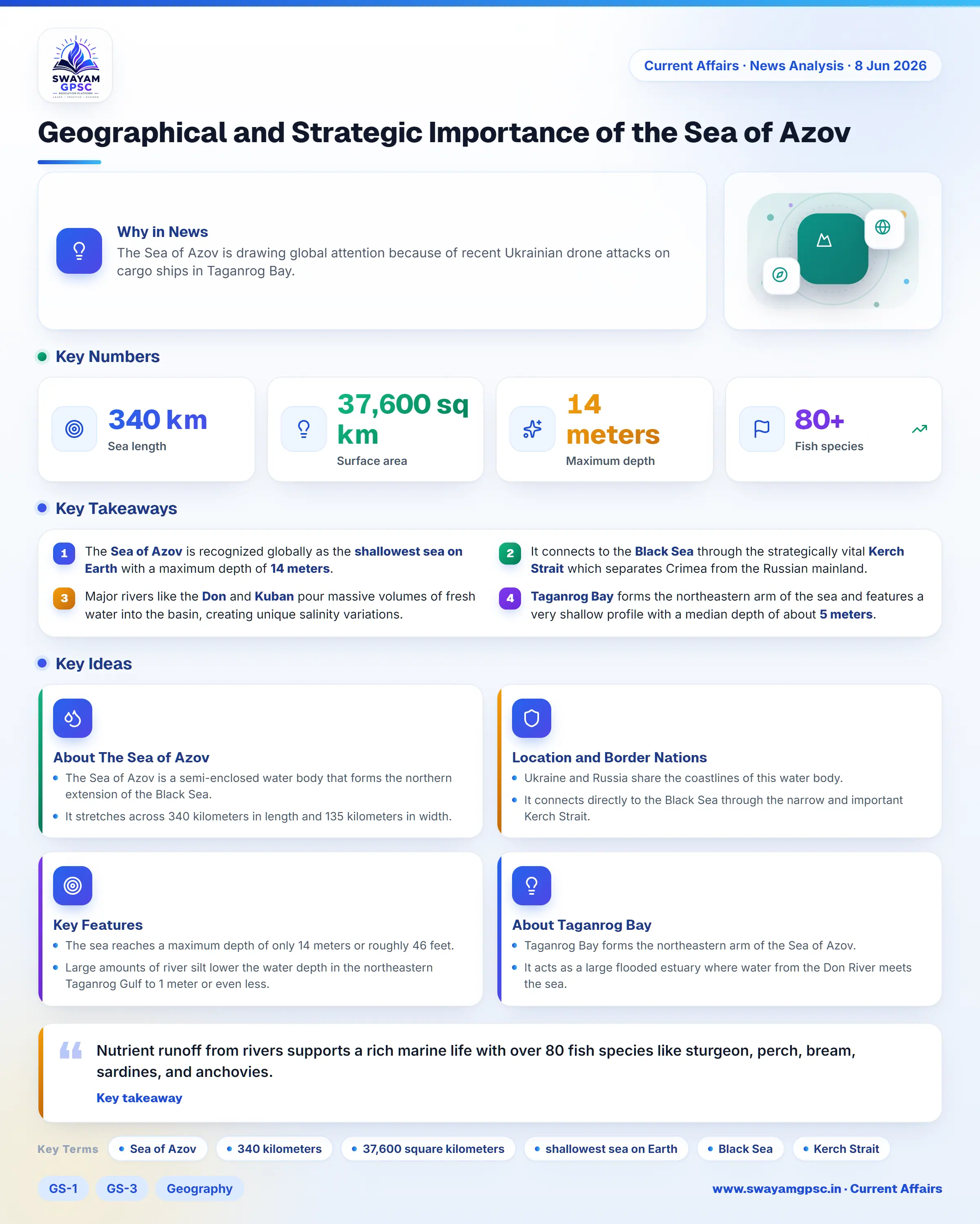
Geographical and Strategic Importance of the Sea of Azov
#GS-1 #GS-3 #Geography #Physical Geography #Resources #Current Events #International
Key takeaways
- The Sea of Azov is recognized globally as the shallowest sea on Earth with a maximum depth of 14 meters.
- It connects to the Black Sea through the strategically vital Kerch Strait which separates Crimea from the Russian mainland.
- Major rivers like the Don and Kuban pour massive volumes of fresh water into the basin, creating unique salinity variations.
- Taganrog Bay forms the northeastern arm of the sea and features a very shallow profile with a median depth of about 5 meters.
Why in News
- The Sea of Azov is drawing global attention because of recent Ukrainian drone attacks on cargo ships in Taganrog Bay.
About The Sea of Azov
- The Sea of Azov is a semi-enclosed water body that forms the northern extension of the Black Sea.
- It stretches across 340 kilometers in length and 135 kilometers in width.
- It covers a total surface area of 37,600 square kilometers.
- It holds the global title of being the shallowest sea on Earth.
Location and Border Nations
- Ukraine and Russia share the coastlines of this water body.
- It connects directly to the Black Sea through the narrow and important Kerch Strait.
- The Kerch Strait acts as a divider between the Crimean Peninsula and the Taman Peninsula on the Russian mainland.
Key Features
- The sea reaches a maximum depth of only 14 meters or roughly 46 feet.
- Large amounts of river silt lower the water depth in the northeastern Taganrog Gulf to 1 meter or even less.
- The Don River and the Kuban River empty huge amounts of fresh water into the basin.
- The Syvash is a shallow lagoon system on the western side separated by the 113 km long Arabat Spit.
- Winter temperatures bring heavy frost, thick fogs, and ice sheets along the northern coasts from late December to early March.
- Shallow water depths allow the sea to warm evenly and mix well from top to bottom.
- Nutrient runoff from rivers supports a rich marine life with over 80 fish species like sturgeon, perch, bream, sardines, and anchovies.
About Taganrog Bay
- Taganrog Bay forms the northeastern arm of the Sea of Azov.
- It acts as a large flooded estuary where water from the Don River meets the sea.
- This bay creates a natural water boundary between the northern Azov coastal region and the southern Kuban coastline in Russia.
- The western mouth of the bay opens straight into the main basin of the Sea of Azov.
Bay Dimensions and Key Features
- The bay stretches for about 140 kilometers and measures 31 kilometers wide at its mouth.
- It has a very shallow profile with an average depth of around 5 meters.
- Four major rivers pour fresh water into this gulf, led by the Don River alongside the Kalmius, Mius, and Yeya rivers.
- Water entering from these rivers drives the current patterns across the entire Sea of Azov.