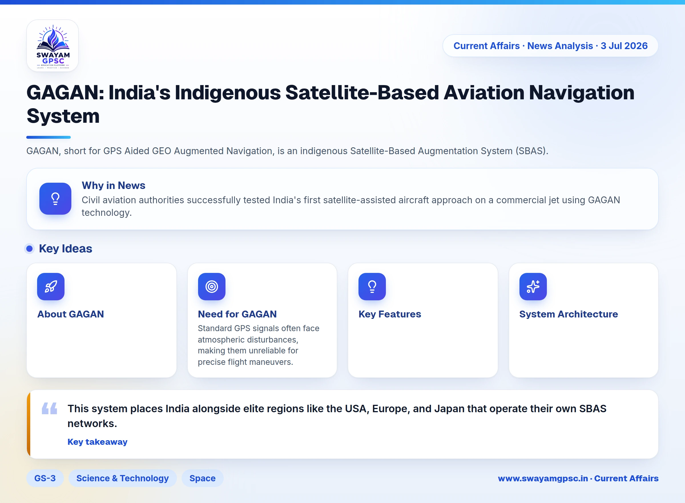
GAGAN: India's Indigenous Satellite-Based Aviation Navigation System
#GS-3 #Science & Technology #Space #Achievements of Indians in Science & Technology #Navigation System #Aviation
Why in News
- Civil aviation authorities successfully tested India's first satellite-assisted aircraft approach on a commercial jet using GAGAN technology.
About GAGAN
- GAGAN, short for GPS Aided GEO Augmented Navigation, is an indigenous Satellite-Based Augmentation System (SBAS).
- The system was jointly built by ISRO and the Airports Authority of India (AAI) and has been functional since 2015.
Need for GAGAN
- Standard GPS signals often face atmospheric disturbances, making them unreliable for precise flight maneuvers.
- GAGAN corrects signal errors in real time and alerts pilots whenever underlying positioning data becomes untrustworthy.
Key Features
- The system boosts positioning accuracy, checks signal reliability constantly, and guides planes during difficult landings.
- It complies with global aviation safety norms and is the first SBAS certified specifically for the equatorial zone.
System Architecture
- The ground setup includes 15 Indian Reference Stations (INRES), 2 Indian Master Control Centres (INMCC), and 3 Indian Land Uplink Stations (INLUS).
- The operational framework relies on 4 core communication networks alongside 3 geostationary satellites, namely GSAT-8, GSAT-10, and GSAT-15.
Key Applications
- Apart from aviation, GAGAN aids marine travel, road transport, railway tracking, disaster relief, defense ops, telecom networks, and land surveying.
Significance
- This system places India alongside elite regions like the USA, Europe, and Japan that operate their own SBAS networks.
- It works seamlessly with global networks such as WAAS in the USA, EGNOS in Europe, and MSAS in Japan.
Difference Between GAGAN and NavIC
- GAGAN corrects existing GPS data to guide planes safely, while NavIC is an independent satellite navigation network covering India and areas up to 1,500 km beyond its borders.