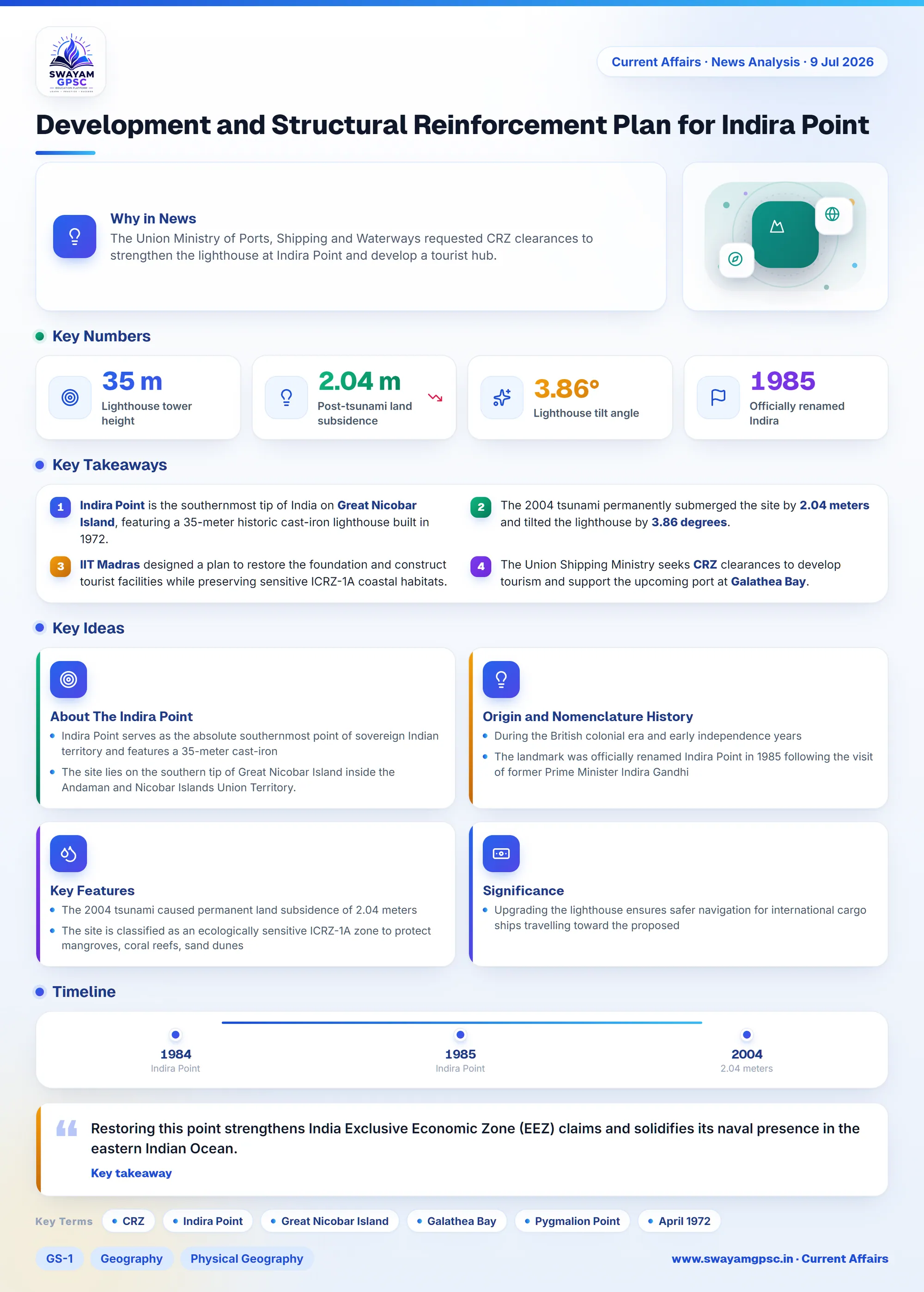
Development and Structural Reinforcement Plan for Indira Point
#GS-1 #Geography #Physical Geography #GS-3 #Infrastructure #Environment #Current Events #National
Key takeaways
- Indira Point is the southernmost tip of India on Great Nicobar Island, featuring a 35-meter historic cast-iron lighthouse built in 1972.
- The 2004 tsunami permanently submerged the site by 2.04 meters and tilted the lighthouse by 3.86 degrees.
- IIT Madras designed a plan to restore the foundation and construct tourist facilities while preserving sensitive ICRZ-1A coastal habitats.
- The Union Shipping Ministry seeks CRZ clearances to develop tourism and support the upcoming port at Galathea Bay.
Why in News
- The Union Ministry of Ports, Shipping and Waterways requested CRZ clearances to strengthen the lighthouse at Indira Point and develop a tourist hub.
About The Indira Point
- Indira Point serves as the absolute southernmost point of sovereign Indian territory and features a 35-meter cast-iron lighthouse for marine navigation.
- The site lies on the southern tip of Great Nicobar Island inside the Andaman and Nicobar Islands Union Territory.
- It sits right next to Galathea Bay, where India plans to construct an International Container Transshipment Port (ICTP).
Origin and Nomenclature History
- During the British colonial era and early independence years, people called this location Pygmalion Point or Parsons Point.
- The landmark was officially renamed Indira Point in 1985 following the visit of former Prime Minister Indira Gandhi in 1984.
- The government constructed and commissioned the cast-iron lighthouse tower in April 1972 to secure Indian maritime borders.
Key Features
- The 2004 tsunami caused permanent land subsidence of 2.04 meters, leaving the lighthouse base underwater and tilted by 3.86 degrees.
- The site is classified as an ecologically sensitive ICRZ-1A zone to protect mangroves, coral reefs, sand dunes, and leatherback turtle nesting sites.
- Experts from IIT Madras created a restoration blueprint including a breakwater, causeway, powerhouse, and elevated quarters.
- The government plans to build eco-friendly infrastructure including a viewing tower, maritime museum, convention center, cafeteria, cycle tracks, and a national memorial.
Significance
- Restoring this point strengthens India Exclusive Economic Zone (EEZ) claims and solidifies its naval presence in the eastern Indian Ocean.
- Upgrading the lighthouse ensures safer navigation for international cargo ships travelling toward the proposed Galathea Bay Transshipment Port.