The Democratic Republic of the Congo
#GS-2 #GS-3 #Current Events #International #Health #Economy #Infrastructure
Key takeaways
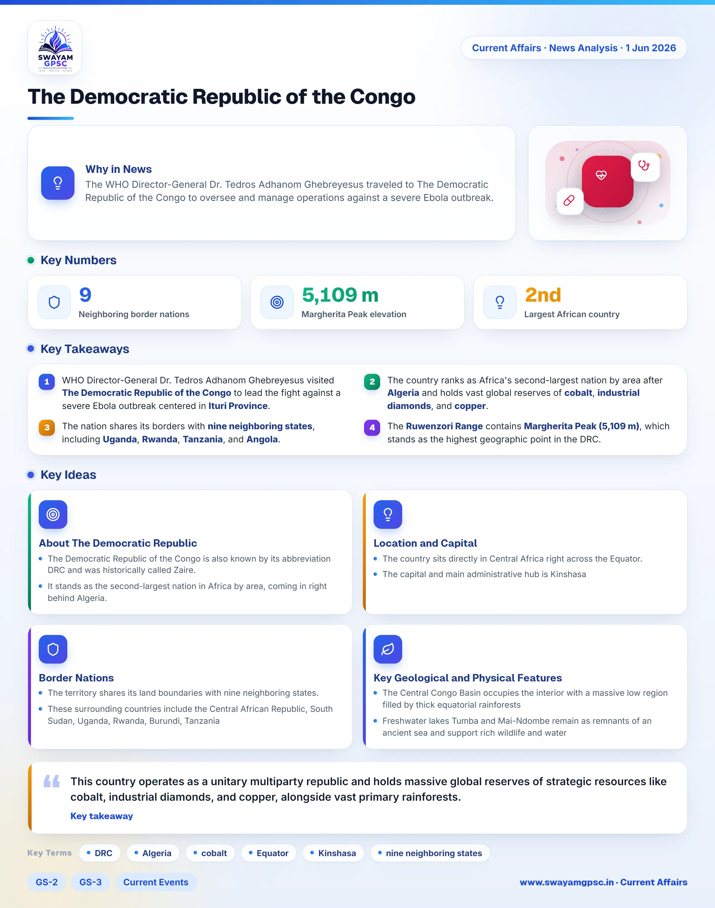
- WHO Director-General Dr. Tedros Adhanom Ghebreyesus visited The Democratic Republic of the Congo to lead the fight against a severe Ebola outbreak centered in Ituri Province.
- The country ranks as Africa's second-largest nation by area after Algeria and holds vast global reserves of cobalt, industrial diamonds, and copper.
- The nation shares its borders with nine neighboring states, including Uganda, Rwanda, Tanzania, and Angola.
- The Ruwenzori Range contains Margherita Peak (5,109 m), which stands as the highest geographic point in the DRC.
Why in News
- The WHO Director-General Dr. Tedros Adhanom Ghebreyesus traveled to The Democratic Republic of the Congo to oversee and manage operations against a severe Ebola outbreak.
About The Democratic Republic of the Congo
- The Democratic Republic of the Congo is also known by its abbreviation DRC and was historically called Zaire.
- It stands as the second-largest nation in Africa by area, coming in right behind Algeria.
- This country operates as a unitary multiparty republic and holds massive global reserves of strategic resources like cobalt, industrial diamonds, and copper, alongside vast primary rainforests.
Location and Capital
- The country sits directly in Central Africa right across the Equator.
- The capital and main administrative hub is Kinshasa, which functions as the largest city in Central Africa and lies along the Congo River.
Border Nations
- The territory shares its land boundaries with nine neighboring states.
- These surrounding countries include the Central African Republic, South Sudan, Uganda, Rwanda, Burundi, Tanzania, Zambia, Angola including the coastal exclave of Cabinda, and the Republic of the Congo also known as Congo-Brazzaville.
Key Geological and Physical Features
- The Central Congo Basin occupies the interior with a massive low region filled by thick equatorial rainforests that form a major global tropical forest system.
- Freshwater lakes Tumba and Mai-Ndombe remain as remnants of an ancient sea and support rich wildlife and water supplies.
- The Mitumba Mountains stretch along the eastern boundary to form a rough physical wall that shapes local weather and water flows.
- The Ruwenzori Range sits on the border with Uganda and holds Margherita Peak (5,109 m), which is the highest point in the country and a prominent ice-covered mountain system.
- The Virunga Mountains form a volcanic chain with active volcanoes like Mount Nyiragongo, making the area one of the most geologically active zones in Africa.
- Great Rift lakes such as Albert, Edward, Kivu, and Tanganyika supply freshwater, fishing grounds, and crucial transport routes.
- The Ubangi-Uele Plateaus in the north create a water divide separating the Congo River Basin from the Nile River Basin.
- The Southeastern Katanga Plateaus hold massive beds of copper, cobalt, and other vital minerals, serving as a major economic center.
- The Congo River drains a massive area in a distinct loop that crosses the Equator twice before emptying into the Atlantic Ocean.
- Volcanic dirt near the eastern Great Lakes is very rich, allowing for heavy farming and large human populations.
Active Ebola Outbreak Hotspots
- Ituri Province serves as the primary center for the ongoing Ebola crisis with the highest number of confirmed cases and deaths.
- Efforts to stop Ebola face severe hurdles due to armed fights, displaced people, lack of food, and poor medical access in the eastern rift insecurity zones.