Kerala High Court Ruling on Lakshadweep Pandaram Land
#GS-1 #Geography #Physical Geography #GS-2 #Current Events #National #Lakshadweep #Pandaram Land
Key takeaways
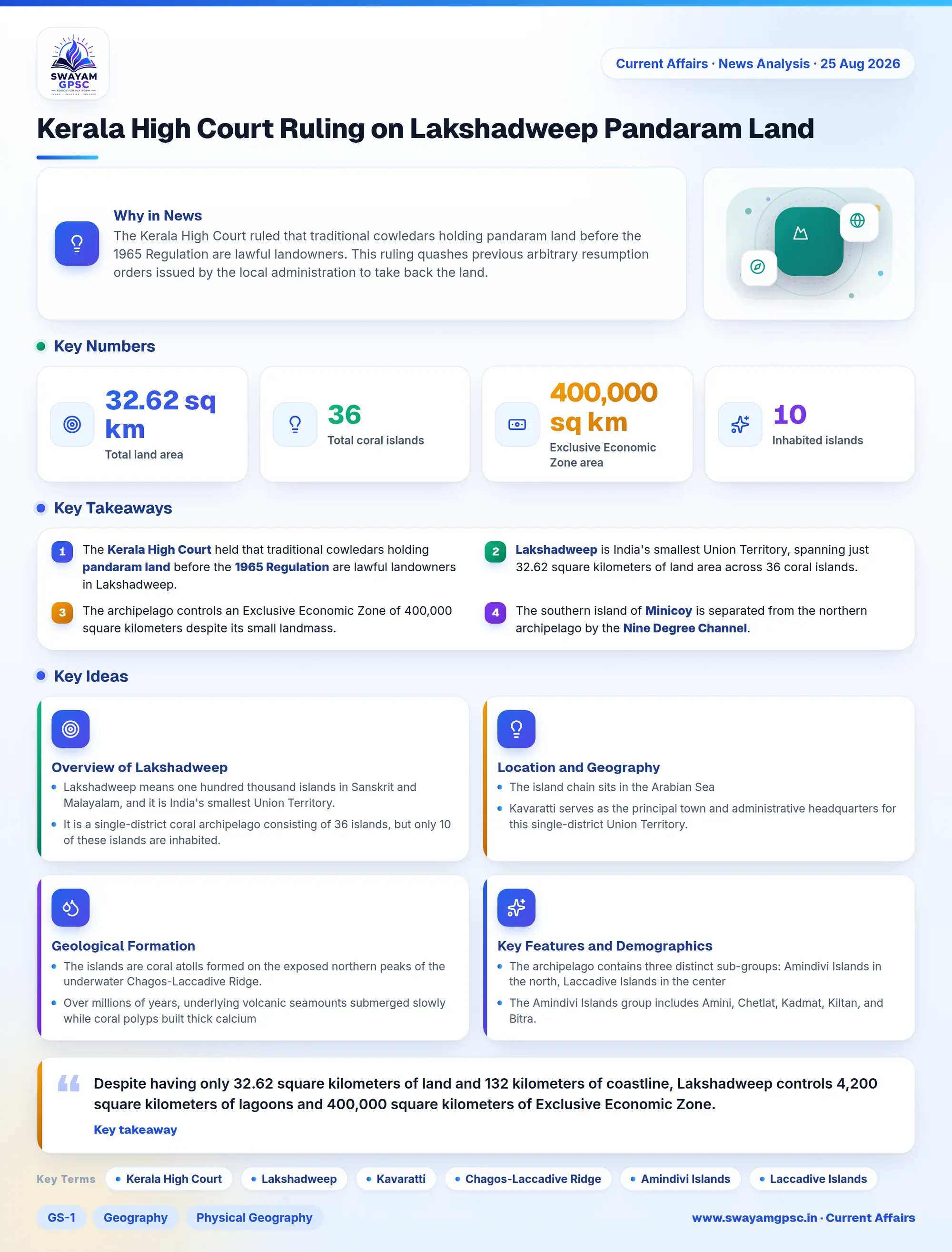
- The Kerala High Court held that traditional cowledars holding pandaram land before the 1965 Regulation are lawful landowners in Lakshadweep.
- Lakshadweep is India's smallest Union Territory, spanning just 32.62 square kilometers of land area across 36 coral islands.
- The archipelago controls an Exclusive Economic Zone of 400,000 square kilometers despite its small landmass.
- The southern island of Minicoy is separated from the northern archipelago by the Nine Degree Channel.
Why in News
- The Kerala High Court ruled that traditional cowledars holding pandaram land before the 1965 Regulation are lawful landowners.
- This ruling quashes previous arbitrary resumption orders issued by the local administration to take back the land.
Overview of Lakshadweep
- Lakshadweep means one hundred thousand islands in Sanskrit and Malayalam, and it is India's smallest Union Territory.
- It is a single-district coral archipelago consisting of 36 islands, but only 10 of these islands are inhabited.
- The entire land area of the archipelago measures just 32.62 square kilometers.
- Judicial matters of this territory fall directly under the jurisdiction of the Kerala High Court.
Location and Geography
- The island chain sits in the Arabian Sea, located between 220 and 440 kilometers off the southwestern Malabar Coast of Kerala.
- Kavaratti serves as the principal town and administrative headquarters for this single-district Union Territory.
Geological Formation
- The islands are coral atolls formed on the exposed northern peaks of the underwater Chagos-Laccadive Ridge.
- Over millions of years, underlying volcanic seamounts submerged slowly while coral polyps built thick calcium carbonate reefs around their rims, creating low-lying ring atolls.
Key Features and Demographics
- The archipelago contains three distinct sub-groups: Amindivi Islands in the north, Laccadive Islands in the center, and Minicoy Island in the south.
- The Amindivi Islands group includes Amini, Chetlat, Kadmat, Kiltan, and Bitra.
- The Laccadive Islands group consists of Androth, Kalpeni, Kavaratti, Agatti, and Bangaram, separated from Amindivi by the 11th parallel north.
- Minicoy Island is an isolated southern atoll separated from the northern groups by the strategic Nine Degree Channel.
- Despite having only 32.62 square kilometers of land and 132 kilometers of coastline, Lakshadweep controls 4,200 square kilometers of lagoons and 400,000 square kilometers of Exclusive Economic Zone.
- Most indigenous residents belong to Scheduled Tribes, with northern islanders speaking Jeseri while Minicoy residents speak Mahl and follow matrilineal Marumakkathayam customs.
- The island economy relies mainly on coconut farming, tuna pole-and-line fishing, and controlled eco-tourism.