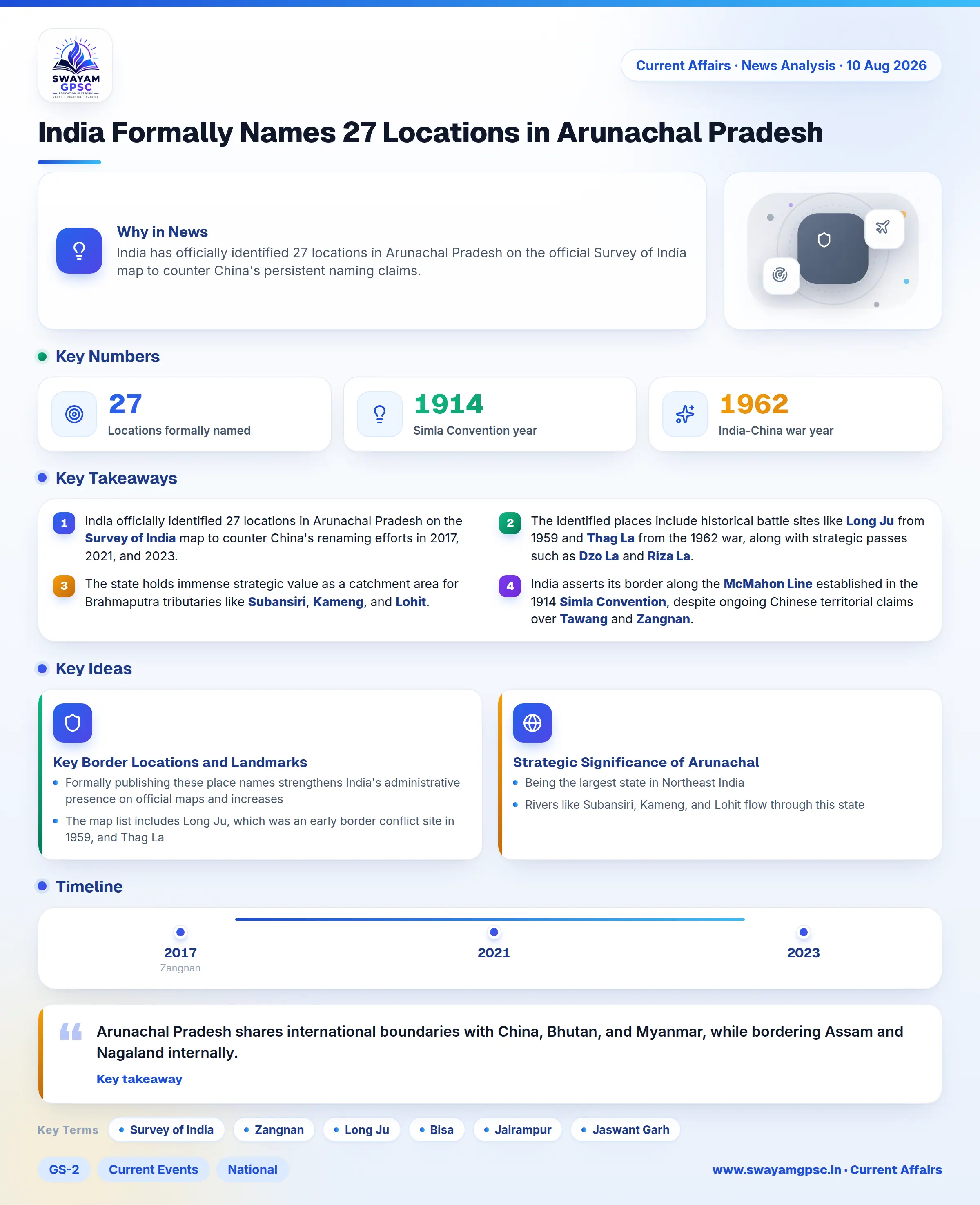
India Formally Names 27 Locations in Arunachal Pradesh
#GS-2 #Current Events #National #International #GS-3 #Geography #India and its Neighbourhood #Border Security
Key takeaways
- India officially identified 27 locations in Arunachal Pradesh on the Survey of India map to counter China's renaming efforts in 2017, 2021, and 2023.
- The identified places include historical battle sites like Long Ju from 1959 and Thag La from the 1962 war, along with strategic passes such as Dzo La and Riza La.
- The state holds immense strategic value as a catchment area for Brahmaputra tributaries like Subansiri, Kameng, and Lohit.
- India asserts its border along the McMahon Line established in the 1914 Simla Convention, despite ongoing Chinese territorial claims over Tawang and Zangnan.
Why in News
- India has officially identified 27 locations in Arunachal Pradesh on the official Survey of India map to counter China's persistent naming claims.
- China released lists in 2017, 2021, and 2023 renaming areas in Arunachal Pradesh and referring to the region as Zangnan or South Tibet to back its territorial assertions.
- This step firmly asserts India's sovereignty, administrative control, and territorial rights over Arunachal Pradesh while rejecting China's geographical claims.
Key Border Locations and Landmarks Identified
- Formally publishing these place names strengthens India's administrative presence on official maps and increases public awareness about border geography.
- The map list includes Long Ju, which was an early border conflict site in 1959, and Thag La, where fighting started during the 1962 India-China War.
- Important high-altitude mountain passes such as Bisa, Dzo La, Riza La, Pukur La, and Thag La have now gained official recognition.
- The survey included Jairampur in Changlang district because it acts as a key transport hub towards eastern Arunachal Pradesh and the Myanmar border.
- Historical war memorials like Jaswant Garh, honoring Jaswant Singh Rawat, and the Sher-e-Thapa Memorial, honoring Trilok Singh Thapa, are part of the list.
- The official list also features Sambho Sarovar, which is a high-altitude lake in the border area.
Strategic Significance of Arunachal Pradesh
- Arunachal Pradesh shares international boundaries with China, Bhutan, and Myanmar, while bordering Assam and Nagaland internally.
- Being the largest state in Northeast India, it functions as a crucial land buffer protecting the fertile Brahmaputra Valley.
- Rivers like Subansiri, Kameng, and Lohit flow through this state, making its control vital for the water and food security of Northeast India and Bangladesh.
- Controlling strategic high-altitude mountain passes such as Thag La and Bum La gives the Indian military key strategic height and defense advantages.
- Tawang is the birthplace of the 6th Dalai Lama, giving India significant influence over Tibetan Buddhist traditions and future succession matters.
- India marks its northern border along the McMahon Line drawn during the 1914 Simla Convention, which China refuses to accept.